








The Eyes Above the Clouds
High above the subcontinent, a fleet of silent sentinels keeps a constant watch. These are the Indian Space Research Organisation’s (ISRO) meteorological satellites, most notably the INSAT series, including the advanced INSAT-3D and INSAT-3DR. These geostationary
satellites are perfectly positioned to monitor the vast expanse of the Indian Ocean and the subcontinent, providing a continuous stream of data. Unlike a single photograph, they capture images every 15 to 30 minutes, creating a near-live movie of the weather. This constant surveillance is crucial for tracking the lifecycle of weather systems, from their birth as disturbances over the ocean to their journey across the land.
More Than Just a Picture
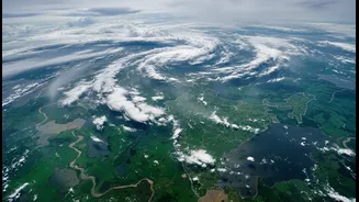
A satellite image of clouds might seem simple, but the data ISRO collects tells a much deeper story. The satellites are equipped with imagers and sounders that observe the Earth in multiple wavelengths, including visible light and thermal infrared. This allows scientists to see far more than just cloud cover. Thermal imagery, for instance, reveals the temperature of cloud tops; colder, brighter white clouds often indicate towering convective systems capable of producing very heavy rain. Other instruments measure crucial variables like sea surface temperature, atmospheric moisture, and wind patterns over the oceans, which are the fundamental building blocks of the monsoon. By combining these layers of information, a comprehensive picture of the monsoon's strength, health, and character emerges.
From Data to a National Narrative
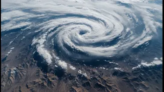
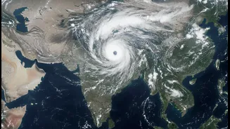
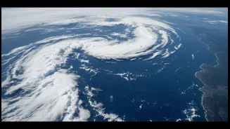
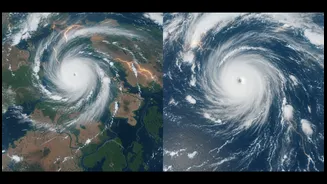
This stream of raw data is where the story truly begins to take shape. Scientists at ISRO and the India Meteorological Department (IMD) process this information, transforming pixels and temperature readings into a coherent narrative of the monsoon's advance. They can track the northward progress of the monsoon, watch for the formation of low-pressure systems over the Bay of Bengal or the Arabian Sea, and identify the 'monsoon trough'—an imaginary line of low pressure that is a key driver of rainfall distribution. Recent images have shown dramatic surges in monsoon activity, with dense cloud bands stretching across the country, signalling a revival after a dry spell and bringing hope to anxious farmers.
The Story's Impact on the Ground
This celestial viewpoint has profound real-world implications. For farmers, accurate forecasts based on satellite data mean better decisions about when to sow their crops. For disaster management agencies, early warnings about intense rainfall or cyclones, tracked meticulously by satellites, provide precious time to prepare and evacuate vulnerable communities, saving countless lives. When Cyclone Fani approached in 2019, INSAT-3DR was put into a special 'rapid scan' mode, capturing images every few minutes to track its every move with incredible precision. This detailed monitoring helps authorities issue specific, localised warnings, moving from broad predictions to actionable intelligence that protects life and property.
The Next Chapter in Monsoon Viewing
The story is not over. ISRO and IMD are continuously working to improve this capability. Plans are already underway for the next generation of satellites, the INSAT-4 series, which will feature even higher-resolution sensors. These future sentinels will be better equipped to detect small-scale, high-impact weather events like cloudbursts and thunderstorms, which are currently challenging to forecast. By improving the assimilation of satellite data into weather models, forecasters aim to enhance the accuracy of predictions across all time scales. This ongoing evolution ensures that our ability to see and understand the monsoon will only get better, making its story more detailed and its impacts more manageable.