


What Exactly Is a Glacial Flood?
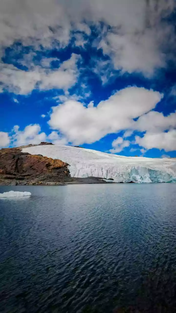
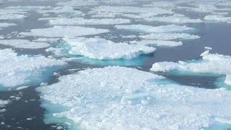
A Glacial Lake Outburst Flood, or GLOF, is a sudden and powerful release of water from a lake formed by a melting glacier. As glaciers retreat due to warming temperatures, they leave behind vast amounts of meltwater that collect in natural depressions.
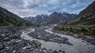
These newborn lakes are often dammed by unstable barriers of loose rock and debris called moraines, or by ice itself. When this natural dam fails—whether from the pressure of the growing lake, an earthquake, or a large avalanche of rock or ice falling into it—the lake can burst open, sending a catastrophic torrent of water, mud, and boulders downstream at incredible speeds. These floods can travel over 100 kilometres, destroying everything in their path with far more force than a typical seasonal flood.
A Growing Threat in a Warming World
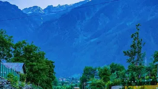
While GLOFs are natural events, their frequency and intensity are increasing due to climate change. The Himalayas are warming at a faster rate than the global average, accelerating glacier melt. This has led to a rapid increase in both the number and size of glacial lakes, with thousands now dotting the mountain range. A government survey has identified approximately 7,500 glacial lakes in the Indian Himalayas alone. Many of these are expanding quickly, putting immense pressure on their fragile moraine dams. This makes the Himalayan region, where millions of people live, particularly vulnerable. A 2023 study found that 15 million people globally are at risk, with the majority in High Mountain Asia, including India.
High-Risk Zones for Indian Travellers
In India, several states and union territories are particularly vulnerable to GLOFs. Authorities have identified nearly 200 high-risk glacial lakes across the Himalayas. The regions of greatest concern for travellers and residents include Sikkim, Himachal Pradesh, Uttarakhand, Ladakh, and Arunachal Pradesh. Sikkim, which witnessed a devastating GLOF from the South Lhonak Lake in October 2023 that destroyed dams and claimed lives, has around 25 lakes classified as very high-risk. Himachal Pradesh has the highest number of lakes designated as 'high risk' by the National Disaster Management Authority (NDMA), followed by Sikkim and Ladakh. Events like the 2021 Chamoli disaster in Uttarakhand, which involved a massive rock and ice avalanche, further underscore the cascading hazards present in these fragile environments.
How to Plan for a Safer Trip
Awareness and preparation are your best defences. Before you travel, research your destination and check for any advisories from the local or state disaster management authority. Hiring an experienced, certified local guide is one of the most important safety measures you can take. These professionals understand the terrain and its risks far better than any guidebook. Avoid camping in low-lying riverbeds or narrow valley floors. Always choose a campsite on higher, safer ground. Be vigilant for warning signs: a sudden rise or fall in river level, the water turning muddy and carrying debris, or a distant rumbling sound. If you hear sirens or see locals moving uphill quickly, follow their lead immediately—move first, ask questions later.
What Is Being Done to Reduce the Risk?
Indian authorities are actively working to mitigate the threat. The National Disaster Management Authority (NDMA) has a National GLOF Risk Mitigation Programme in place. This involves identifying and monitoring the most dangerous lakes through satellite imagery and field expeditions. In some cases, efforts are underway to lower the water levels in high-risk lakes to reduce pressure on the natural dams. Early Warning Systems (EWS), which use sensors to detect changes and trigger alarms downstream, are also being developed, though their deployment across such a vast region is a complex and ongoing challenge. These efforts, combined with community awareness programs, form the core of India's strategy to protect lives and infrastructure.