

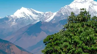
A Landscape Primed for Danger
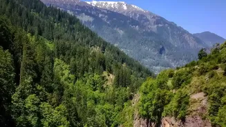
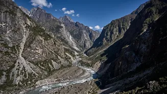
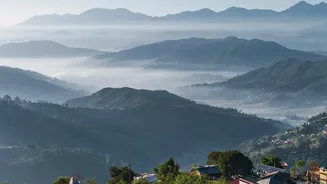
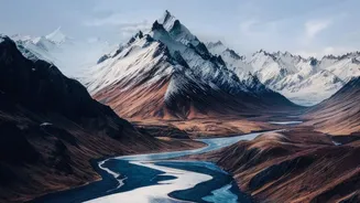
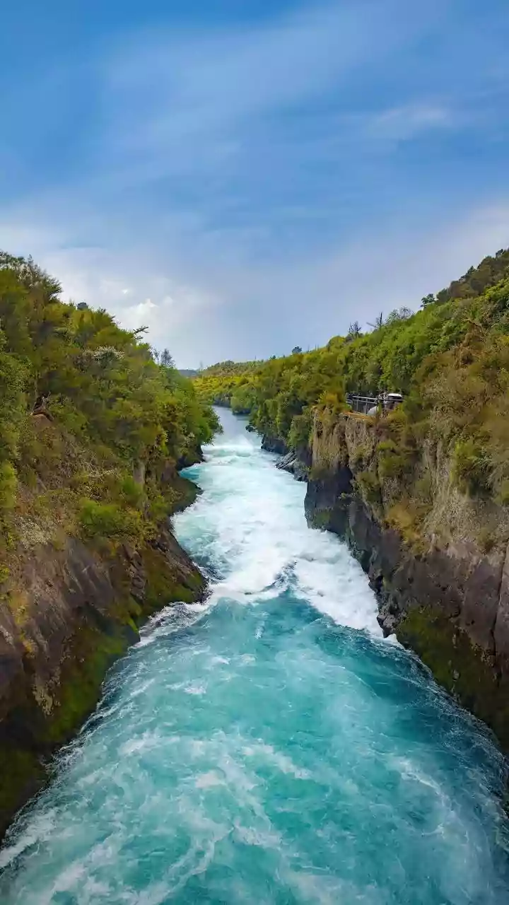
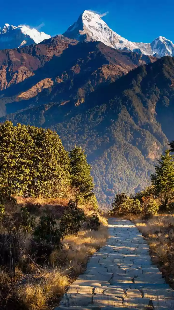
Nepal's geography is a double-edged sword. Its stunning Himalayan peaks and deep gorges are carved by powerful rivers, but this same topography makes it exceptionally vulnerable to disaster. The combination of steep, unstable slopes, concentrated monsoon
rainfall, and active geology creates a perfect storm for landslides. During the monsoon, saturated soil can easily give way, sending millions of tons of rock and debris crashing into the narrow river channels below. Earthquakes, a constant threat in the region, can also trigger these massive landslips, creating an immediate and grave hazard for anyone living downstream.
The Anatomy of an Obstruction
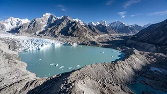
When we think of river obstructions, man-made dams often come to mind. In Nepal, however, the more frequent and unpredictable culprits are natural. A major landslide can completely block a river, forming what is known as a landslide dam. Water quickly pools behind this unstable barrier of loose rock and soil, creating a large, temporary lake. A similar and increasingly common threat comes from Glacial Lake Outburst Floods (GLOFs). As climate change accelerates glacier melt, vast lakes form, held back only by fragile walls of soil and rock debris called moraines. Whether formed by a landslide or a melting glacier, these dams are incredibly unstable.
From Blockage to Blowout
The extreme danger lies not in the blockage itself, but in its inevitable failure. As water builds up behind a landslide dam, the pressure becomes immense. Eventually, the water overtops the dam or the structure simply collapses under the weight. This triggers a catastrophic event known as a Landslide Dam Outburst Flood (LDOF). A solid wall of water, mud, and boulders is unleashed, moving at incredible speed and with immense force. Experts describe the flow not as water, but as 'liquid concrete'—a torrent so dense and powerful that it can obliterate buildings, bridges, and hydropower stations in minutes, leaving no time for evacuation.
The Human Factor and Climate Change
While these events are natural phenomena, human activity and climate change are making them worse. Unplanned construction of roads and buildings can destabilize slopes, increasing the frequency of landslides. Hydropower projects and settlements built too close to riverbeds are placed directly in the path of these potential deluges. Furthermore, global warming is causing Himalayan glaciers to retreat at an alarming rate, expanding the size and number of potentially dangerous glacial lakes. Studies have identified dozens of such lakes in Nepal that pose a high risk of a GLOF event, threatening thousands of lives and critical infrastructure.
A Race Against Time
Addressing this threat is a monumental challenge. The remote and rugged terrain makes it difficult to monitor potential landslide zones or unstable glacial lakes. A devastating flood on the Nepal-Tibet border on August 26, 2026, was triggered by a rock and ice avalanche that created just such a blockage, highlighting the suddenness of the danger. Experts say that traditional flood warnings, which rely on rainfall data, are useless in these situations. The focus is therefore shifting towards better risk assessment, developing early warning systems that can detect sudden changes in river levels, and crucial cross-border cooperation to share information when a disaster strikes upstream.