





The Eyes on the Waterways
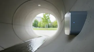
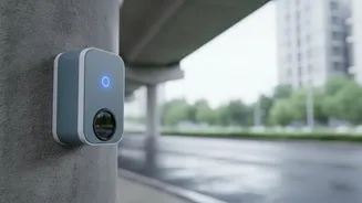
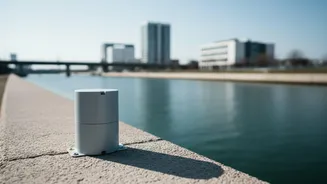
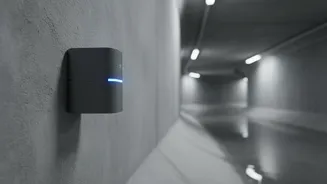
At the heart of this early warning system are specialized sensors, most commonly ultrasonic or radar-based. These devices are strategically placed in critical locations across a city, such as under bridges, along major stormwater drains, and in low-lying
areas known for waterlogging. Unlike traditional gauges that require manual reading, these automated sensors work around the clock. An ultrasonic sensor, for example, is mounted above the water and sends a sound pulse down. By measuring the time it takes for the echo to return, it can calculate the precise distance to the water's surface. As the water level rises, this distance shortens, providing a constant, real-time data stream of the situation on the ground.
From Sensor to Server in Seconds
Detecting the water level is only the first step. The next challenge is to get that information to a central command centre instantly. The sensors are part of what is known as the Internet of Things (IoT). Each device is equipped with a small transmitter that uses low-power communication networks, like cellular GPRS or more modern IoT-specific networks, to send its data packet. Every few minutes, these sensors transmit their readings to a central server. This constant flow of information from hundreds of points across the city creates a detailed, live map of how water is behaving, allowing authorities to see developing problems long before they become visible on major streets.
The Brains Behind the Alert
Once the data reaches the central server, powerful software takes over. This system isn't just a simple dashboard; it's an intelligent platform. Engineers and disaster management officials set pre-defined threshold levels for each sensor location—for instance, 'Alert,' 'Danger,' and 'High Danger.' When sensor data shows water rising past one of these thresholds, the system automatically triggers an alarm for officials. More advanced systems go a step further, integrating this sensor data with weather forecasts from agencies like the India Meteorological Department (IMD), tide tables, and topographical maps of the city to run predictive models. This allows them to not just see current flooding, but to forecast how the situation might evolve over the next few hours.
Getting the Warning to the People
The most critical link in the chain is disseminating the warning to the public. Once a credible threat is identified, the system activates multiple channels to ensure the message reaches as many people as possible. This can include targeted SMS blasts to residents in specific, vulnerable wards, push notifications via dedicated city or disaster management mobile apps, and automated updates on social media channels. The goal is to give residents actionable information. An alert might warn them of specific roads to avoid or, in more serious cases, give them the crucial lead time needed to move vehicles to higher ground, secure their homes, or evacuate the area.
India's Flood-Warning Frontrunners
Several Indian cities are already deploying these technologies to build resilience. Mumbai's Integrated Flood Warning System (IFLOWS) and Chennai's C-FLOWS are two prime examples. These systems were developed by the Ministry of Earth Sciences in collaboration with local municipal bodies. They combine sensor data with rainfall predictions, storm surge information, and drainage models to provide flood warnings up to three days in advance in some cases. Following the devastating 2015 Chennai floods, the development of C-FLOWS was fast-tracked, creating a 'flood library' of scenarios to improve prediction accuracy. Similarly, IFLOWS-Mumbai was launched to give the financial capital a much-needed tool to manage its chronic monsoon waterlogging issues. Other cities, like Bengaluru, are also installing sensor networks in their stormwater drains to get ahead of urban flooding.