



The Allure and Dangers of a Monsoon Trek
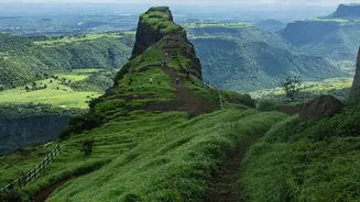
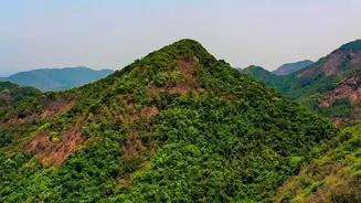
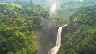
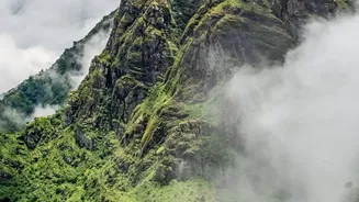
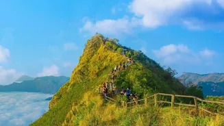
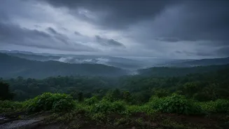
For adventure seekers, the annual monsoon transforms the Western Ghats into a paradise. The rugged, dusty trails of summer give way to vibrant green carpets, and seasonal waterfalls cascade down cliffsides. However, this breathtaking scenery comes with
significant risks. The same rains that bring life to the hills can trigger landslides and cause gentle streams to swell into raging, impassable torrents in minutes. Flash floods in narrow gullies and slippery, moss-covered rocks are the primary dangers, making route selection critical. In recent years, authorities across Maharashtra, Karnataka, and Goa have implemented stricter rules, closing many popular trails and waterfalls during peak monsoon to prevent mishaps. This has put the onus on tour operators and trekkers to prioritise safety above all else.
Enter the GPS Beacon: A Digital Lifeline
In response to these dangers, a growing number of professional tour operators are turning to technology. While the headline suggests GPS beacons help 'dodge' flash floods, their primary role is as a powerful safety and rescue tool rather than a predictive one. These devices, which range from dedicated handheld units to smartphone apps with offline capabilities, use satellite signals to track a group's precise location. Unlike mobile phones that become useless without a network signal, dedicated GPS trackers and Personal Locator Beacons (PLBs) can operate anywhere, providing a crucial link to the outside world from deep within remote valleys. This ensures that if a group gets into trouble, their exact coordinates are known, drastically reducing search and rescue time.
How Technology Mitigates Monsoon Risks
The function of these GPS devices is twofold: tracking and emergency signalling. Firstly, forest departments and responsible operators use them to ensure trekking groups stick to designated, safer trails. In Karnataka, for instance, new regulations mandate that guides accompany all groups, and GPS-enabled walkie-talkies are used to report progress and any violations to a base camp. Secondly, many modern devices feature an SOS button. When pressed, this sends a distress signal and the user's location to emergency response services via a satellite network, initiating a rescue operation. While this doesn't offer a warning before a flash flood, it ensures that if a group is trapped by rising water or a landslide, they can call for help immediately instead of waiting to be reported missing.
A Mandate for Safety
The adoption of this technology is no longer just a best practice; in some areas, it's becoming mandatory. Several states have introduced strict Standard Operating Procedures (SOPs) for trekking. In Karnataka's popular trekking circuits like Kudremukh, online permits, daily trekker caps, and the accompaniment of a certified local guide are now compulsory. The guides, provided with GPS-enabled devices, are the first line of defence, using their local knowledge combined with tracking technology to manage groups effectively. Maharashtra has similarly banned or restricted access to numerous high-risk forts and trails during the monsoon, pushing trekkers towards guided and monitored experiences on sanctioned routes.
The Human Element Remains Crucial
Technology is a powerful ally, but it is not a substitute for common sense and experience. Experts and seasoned trekkers emphasise that the most effective safety tool is sound judgment. This includes checking weather forecasts, understanding the terrain, never trekking alone, and always hiring a qualified local guide who understands the nuances of the region. GPS devices can fail, batteries can die, and a satellite signal can be lost in a deep canyon. Therefore, while GPS beacons provide an unprecedented safety net, they are most effective when paired with traditional skills, respect for nature's power, and the invaluable knowledge of a local guide. The ultimate goal is not just to be rescued faster, but to avoid needing rescue in the first place.