







A New Eye In The Sky: The NISAR Mission
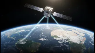
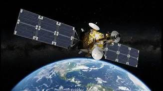
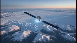
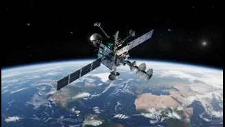
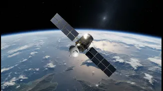
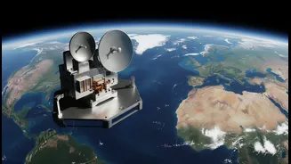
The mission at the heart of this revolution is the NASA-ISRO Synthetic Aperture Radar, or NISAR. This isn't just another satellite; it's a sophisticated Earth-observing laboratory, the result of a landmark collaboration between the two leading space agencies.
Launched from Indian soil, NISAR represents a new era of international cooperation in space for the benefit of everyone on Earth. Its primary job is to observe and measure some of the planet's most complex and dynamic processes, from the slow grind of shifting continents to the rapid devastation of a landslide. By creating a comprehensive and detailed picture of Earth's surface, NISAR will provide critical data to help scientists, governments, and communities better understand and navigate our changing world.
The Technology That Makes It Possible
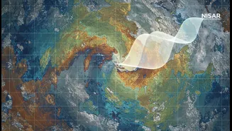
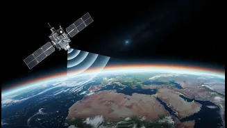
What makes NISAR so special is its advanced radar technology. Unlike optical satellites that are essentially cameras in space, NISAR uses Synthetic Aperture Radar (SAR), which can see through clouds and operate day or night. This ensures it can collect data continuously, regardless of weather or time of day. More importantly, NISAR is the first satellite of its kind to use two different radar frequencies: L-band (provided by NASA) and S-band (provided by ISRO). This dual-frequency capability allows it to observe a wider range of changes on the surface. The shorter S-band waves are sensitive to smaller details like crop growth, while the longer L-band waves can penetrate vegetation to see the ground beneath. This unique combination will allow the satellite to detect changes in the Earth's surface as small as a centimetre, providing a level of detail never before achieved on a global scale.
Why Precision Matters for Global Challenges
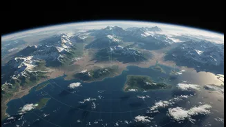
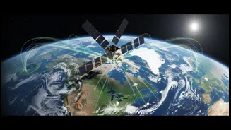
This incredible precision has profound implications. NISAR will map nearly all of Earth’s land and ice surfaces every 12 days, creating a time-lapse view of our planet in motion. This will be invaluable for tracking major global challenges. Scientists will be able to monitor the melting of ice sheets in Greenland and Antarctica, giving us a clearer picture of sea-level rise. It will help in understanding and even forecasting volcanic eruptions and earthquakes by detecting tiny ground deformations that can precede these events. The data will also be crucial for managing water resources, tracking deforestation, and monitoring the health of agricultural lands, which is vital for food security. In the event of disasters like floods or wildfires, NISAR can provide rapid-response data to help emergency teams understand the situation on the ground.
A Game-Changer for India
While NISAR's mission is global, it holds particular significance for India. The collaboration itself is a major milestone for ISRO, but the practical applications are even more critical. ISRO has identified several key areas where NISAR's data will be put to use. The satellite will provide crucial information for monitoring the Himalayan glaciers, whose health is vital for the water supply of millions. It will also track land subsidence in urban areas, study changes along India's vast coastline, and monitor agricultural biomass to improve crop forecasting. For a country that frequently faces natural hazards like landslides, earthquakes, and cyclones, NISAR's ability to provide early warnings and post-disaster assessments will be an invaluable tool for saving lives and infrastructure.