




A Landmark Collaboration in Space
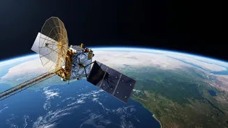
The NISAR (NASA-ISRO Synthetic Aperture Radar) mission represents one of the most significant partnerships in space exploration history between the United States and India. This $1.5 billion project brings together the expertise of both nations' space agencies
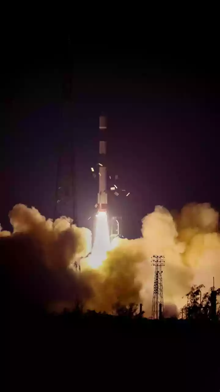
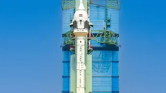
to create the most advanced Earth-observing radar satellite ever built. Launched aboard an Indian GSLV rocket in July 2025, the satellite is a testament to years of joint development. NASA provided the L-band radar system, a high-capacity data recorder, and other critical components, while ISRO was responsible for the S-band radar, the spacecraft itself, and the launch vehicle. This powerful collaboration is designed to produce data that will be openly available to the global scientific community, strengthening India's leadership in climate science and fostering international efforts to tackle environmental threats.
What Makes NISAR So Powerful?
At its heart, NISAR is an imaging satellite, but it doesn't use a conventional camera. Instead, it uses two types of Synthetic Aperture Radar (SAR), making it the first satellite to fly with both L-band and S-band radar frequencies. This technology is a game-changer because radar can see through clouds, smoke, and the dark of night, providing consistent and reliable data regardless of weather or time of day. It works by sending microwave pulses to the Earth and interpreting the signals that bounce back. By doing this repeatedly over the same spot, it can detect surface changes as small as one centimeter. The satellite will orbit the Earth every 12 days, mapping the entire globe and giving scientists a time-lapse view of our planet’s land and ice. The dual-frequency approach allows for incredible versatility: the longer L-band waves can penetrate forest canopies to measure biomass, while the shorter S-band is sensitive to lighter vegetation and soil moisture.
An Eye on India’s Fragile Ecosystems
For India, NISAR's mission is particularly critical. The satellite will provide detailed measurements of the country's diverse and vulnerable ecosystems. ISRO has specifically identified key areas of focus, including agricultural monitoring, landslide studies, and tracking the health of Himalayan glaciers. The satellite’s ability to monitor soil moisture and groundwater levels will provide invaluable insights for India’s agricultural sector, aiding in crop management and food security. It will also keep a close watch on the country's vast forest cover, helping scientists estimate carbon stocks and track the impact of deforestation. Furthermore, NISAR will monitor coastal changes, including shoreline erosion and the health of vital ecosystems like the Sundarbans mangroves, which are crucial for predicting and managing the effects of sea-level rise.
A Vital Tool for Disaster Management
Beyond long-term environmental tracking, NISAR is poised to become a vital asset for disaster preparedness and response across India. Its ability to detect subtle ground deformation is critical for monitoring tectonically active zones like the Himalayas, providing data that could lead to a better understanding of earthquake and volcanic risks. In a country frequently affected by natural hazards, the satellite's near-real-time data can be revolutionary. For example, during floods, NISAR can map the extent of inundation even through heavy cloud cover. It can also be used to detect early signs of landslides by identifying small shifts in the ground on vulnerable slopes. This rapid, high-resolution information will enable authorities to assess damage more quickly, target relief efforts more efficiently, and ultimately help protect lives and infrastructure.