


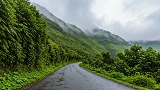


The Allure and Anxiety of the Monsoon
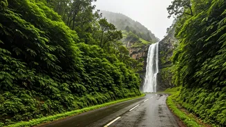
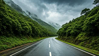
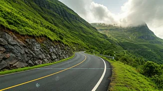
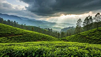
For avid travellers and nature lovers, chasing the monsoon through the winding roads of Maharashtra, Goa, Karnataka, and Kerala is a cherished ritual. The goal is simple: to witness the landscape at its most dramatic and beautiful. This involves finding
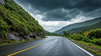
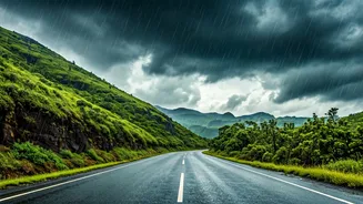
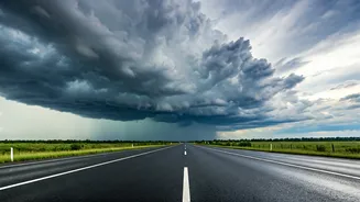
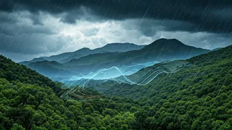
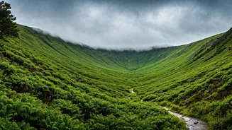
that sweet spot between a light, romantic drizzle and a torrential, road-blocking downpour. For years, this has been a game of chance, relying on broad forecasts and a healthy dose of luck. A promising weekend could be ruined by continuous, heavy rain that keeps you indoors, or worse, leads to dangerous road conditions, landslides, and flash floods. The unpredictability is part of the thrill, but it also comes with significant risks and potential disappointment.
From Guesswork to Data-Driven Decisions
Today, a suite of powerful digital tools has transformed this game of chance into a science. Monsoon chasers are no longer just looking at a seven-day forecast. They are using a combination of live, hyperlocal data sources to make minute-by-minute decisions. This tech-assisted approach doesn't diminish the spontaneity; it enhances it by adding a layer of safety and precision. It empowers you to leave home right when the weather is clearing up in your chosen destination, or to switch your route mid-journey to avoid a sudden storm cell. It’s about being smarter, safer, and getting the most out of your precious weekend getaway.
Your Digital Toolkit: Radar and Satellite Apps
The cornerstone of any modern monsoon chaser's toolkit is a good weather radar app. Unlike a standard forecast which predicts weather, a radar shows you what is happening right now. Apps like the India Meteorological Department's (IMD) 'Mausam', 'Windy', and 'RainViewer' provide live Doppler radar imagery. By looking at the colour-coded maps, you can see the exact location, intensity, and direction of rain clouds. A light green patch might mean a pleasant drizzle, while a dark red or purple area indicates a severe thunderstorm to be avoided. By playing the animation loop, you can predict with reasonable accuracy whether the rain will reach your location in the next 30-60 minutes, giving you enough time to find shelter or change your plans. Satellite imagery on these same apps shows a broader view of cloud cover, helping you plan for the next few hours.
Hyperlocal Intel: The Power of Community
While radar tells you about the sky, you also need information about the ground. This is where community-sourced intelligence becomes invaluable. Dedicated Facebook groups, Telegram channels, and WhatsApp groups for travellers and bikers are goldmines of real-time information. Members post live updates about road conditions, traffic snarls due to landslides, overflowing streams, and even crowd levels at popular viewpoints like Lonavala's Tiger Point or the waterfalls near Igatpuri. Before starting your trip, a quick search for groups related to your destination (e.g., 'Malshej Ghat Updates') can provide insights that no app can. This collective knowledge helps you avoid getting stuck for hours and allows you to find less-crowded, equally beautiful alternative spots.
Putting It All Together for the Perfect Trip
Planning a successful monsoon getaway is about integrating these tools. Start by identifying a few potential destinations. A day before, check the overall forecast on the IMD's website. On the morning of your trip, open your radar app. See a clear window for the next two hours? That's your cue to start driving. While on the road, have a co-passenger monitor Google Maps for live traffic data (red lines can indicate an accident or a landslide) and check the community groups for any sudden alerts. Use the live radar to time your stops perfectly—pulling over for chai just as a rain patch is about to pass over. This dynamic approach allows you to be flexible, navigating the Ghats with confidence and making the journey itself as enjoyable as the destination.