

The Eye in the Sky: What is Remote Sensing?
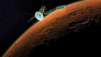
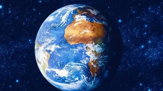
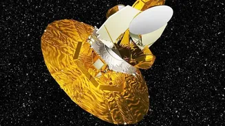
At the heart of this transformation is remote sensing technology, pioneered in India by the Indian Space Research Organisation (ISRO). In simple terms, satellites equipped with powerful sensors capture images of the Earth's surface. These aren't just
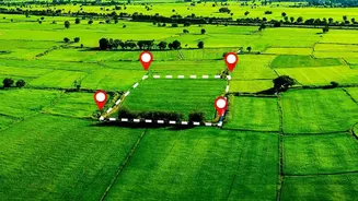
regular pictures; they capture light across different spectrums, including those invisible to the human eye. By analysing this data, scientists and agricultural experts can understand a wide range of conditions on the ground—from soil moisture to plant health—without ever setting foot in the field. This constant stream of data provides a large-scale, objective view of agricultural landscapes across the country.
A Health Check-up from Space
One of the most powerful applications of satellite imagery is monitoring crop health. Plants reflect light differently depending on their condition. Healthy, thriving vegetation absorbs certain types of light and reflects others, a signature that satellites can easily detect. Using a measure called the Normalised Difference Vegetation Index (NDVI), analysts can spot signs of stress in a crop—whether from pests, disease, or lack of water—long before the problem becomes visible to a farmer on the ground. This early warning system allows for timely intervention, enabling farmers to apply treatments precisely where needed, saving healthy parts of the field and preventing widespread losses.
Smarter Water and Nutrient Management
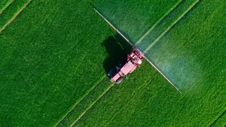
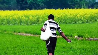
Water is a precious and often scarce resource in Indian agriculture. Satellite sensors can gauge the moisture content in the soil and even within the plants themselves. This information helps farmers and regional authorities make smarter irrigation decisions, ensuring water is used efficiently and delivered only when and where it's most needed. This approach, often called precision agriculture, also extends to fertilisers. By identifying specific patches within a field that are nutrient-deficient, satellites enable farmers to apply fertilisers in a targeted manner. This not only reduces costs for the farmer but also minimises the environmental runoff of excess chemicals.
Informing National Policy and Insurance
The impact of satellite technology extends far beyond the individual farm. Government bodies use this data for large-scale planning and policy-making. ISRO's programmes like FASAL (Forecasting Agricultural output using Space, Agro-meteorology and Land-based observations) use satellite data to provide early estimates of crop acreage and production for major crops like rice and wheat. This helps in managing national food stocks and making timely import or export decisions. Furthermore, satellite imagery is revolutionising crop insurance under the Pradhan Mantri Fasal Bima Yojana (PMFBY). When natural disasters like floods or droughts occur, satellites provide quick and objective assessments of the extent of the damage, helping to verify claims and speed up payouts to affected farmers.
The Digital Agriculture Mission
Recognising this potential, the Indian government has launched initiatives like the Digital Agriculture Mission. A key component is the Krishi-Decision Support System (Krishi-DSS), a platform designed to integrate satellite data with information on weather, soil, and water to provide real-time, actionable insights for farmers and policymakers. The goal is to create a unified digital ecosystem, often called 'AgriStack', that gives farmers easy access to data, credit, and markets through digital tools, often on their mobile phones.
Challenges on the Ground
Despite the immense potential, significant challenges remain. The majority of India's farmers are smallholders, often with fragmented plots of land less than one hectare. For them, accessing and interpreting complex satellite data can be difficult. Poor rural internet connectivity and the need for user-friendly mobile applications that provide simple, actionable advice are major hurdles. Another technical issue is the 'mixed pixel' problem, where a single satellite image pixel may cover multiple small farms, making it hard to get crop-specific information. Overcoming these challenges to ensure the benefits of space technology reach every farmer is the next critical step.