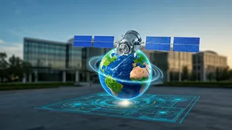


What on Earth Is Remote Sensing?
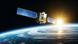
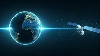
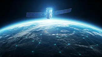
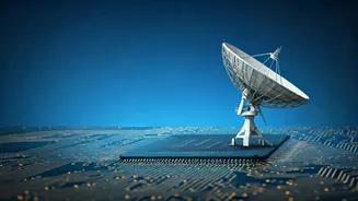
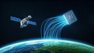
At its core, remote sensing is the science of getting information about places or objects from a distance, without making physical contact. Think of it as giving us a new set of eyes. Specialised cameras and sensors, often on satellites, aircraft, or drones,
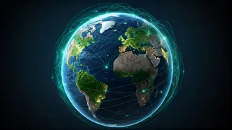
collect data by detecting energy that is reflected or emitted from the Earth's surface. This isn't just about taking pretty pictures. These sensors capture information across the electromagnetic spectrum, including light waves the human eye can't see, like infrared and microwave signals. This allows scientists and analysts to “sense” physical characteristics and uncover hidden patterns about our planet.
More Than Just Spy Satellites
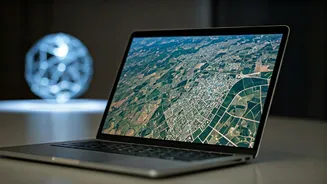
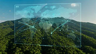
While its origins are linked to military and intelligence applications, remote sensing today is a versatile tool driving innovation across numerous sectors in India and globally. In agriculture, it's revolutionising how we manage food production. By analysing satellite imagery, farmers can monitor crop health, optimise irrigation, and even estimate yields with remarkable precision. It's essential for disaster management, allowing authorities to map the extent of floods, track wildfires, and assess earthquake damage in near real-time, helping to coordinate response and recovery efforts. Urban planners use it to monitor city growth, while environmental scientists rely on it to track deforestation, monitor pollution, and understand the impacts of climate change on glaciers and coastlines. From mining exploration and infrastructure development to managing natural resources, the applications are vast and growing.
The Skills Powering the Future
As the volume of data from satellites and sensors explodes, so does the demand for professionals who can make sense of it all. A career in remote sensing is no longer just for geographers or physicists; it's a multidisciplinary field. Strong technical expertise in processing and analysing remotely sensed data—whether from optical, radar, or LiDAR systems—is fundamental. Proficiency in Geographic Information System (GIS) software like QGIS and ArcGIS is a must-have, as these are the primary tools for mapping and spatial analysis. Increasingly, programming skills are becoming crucial. Knowledge of languages like Python or R is highly valued for automating tasks, performing complex data analysis, and applying machine learning models to interpret vast datasets. Beyond the technical, critical thinking, problem-solving, and strong communication skills are needed to translate complex data into actionable insights for decision-makers.
Where Are the Jobs in India?
The job market for remote sensing and GIS skills in India is booming, driven by government initiatives like Digital India and the Smart Cities Mission. Government agencies, particularly the Indian Space Research Organisation (ISRO) and its various centres like the Space Applications Centre (SAC), are major employers. However, the private sector is rapidly expanding, with opportunities in agriculture technology, environmental consulting, infrastructure and energy companies, and disaster management firms. A vibrant startup ecosystem, especially in hubs like Bengaluru and Hyderabad, is creating new roles for geospatial data scientists, GIS analysts, and remote sensing specialists. Job titles range from 'Remote Sensing Engineer' to 'Geo-Data Scientist' and 'GIS Specialist', reflecting the diverse applications of the technology.