


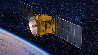

India's Sentinels in Orbit
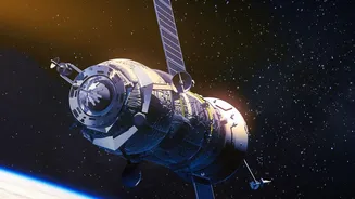
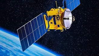
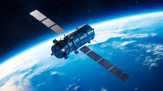
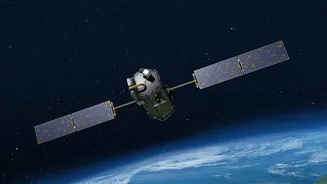
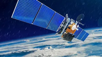
The Indian Space Research Organisation (ISRO) operates a sophisticated fleet of Earth Observation Satellites (EOS) that serve as the backbone of the nation's disaster management strategy. Key among these are the geostationary satellites like the INSAT
series (including INSAT-3D, 3DR, and the recently launched 3DS) and polar-orbiting satellites like the Oceansat series. These are not just cameras in space; they are advanced multi-purpose platforms designed specifically for enhanced meteorological observation. The INSAT satellites, for example, are equipped with imagers and sounders that provide continuous, real-time data on atmospheric conditions over the Indian subcontinent and surrounding oceans. This constant watch is the first step in a chain that leads directly to the weather alerts on your phone.
From Raw Data to Actionable Intelligence
These satellites capture a wealth of information that is invisible to the naked eye. They measure cloud top temperatures, wind speed and direction, sea surface temperatures, atmospheric humidity, and cloud patterns. This stream of data is transmitted in near real-time to ground stations, primarily the INSAT Meteorological Data Processing System (IMDPS) managed by the India Meteorological Department (IMD). ISRO's Space Applications Centre (SAC) and National Remote Sensing Centre (NRSC) also play vital roles in correcting and processing this data before it can be used. At facilities like IMD's hub in New Delhi, this raw satellite data is fed into powerful Numerical Weather Prediction (NWP) models, which simulate the behaviour of the atmosphere to generate forecasts.
Transforming Cyclone and Monsoon Forecasts
The most significant impact of this technology is seen in the tracking of cyclones and the prediction of monsoons. When a low-pressure area forms over the Bay of Bengal or the Arabian Sea, ISRO satellites provide the first line of defence, monitoring the signs of a developing cyclone. The ability to get updates as frequently as every 15 minutes allows meteorologists to predict a storm's intensity and track with far greater accuracy than ever before. This was critical during events like Cyclone Fani, where precise tracking enabled the timely evacuation of over a million people. Similarly, detailed imagery from satellites like INSAT-3DS helps the IMD understand the complex interplay of systems driving the monsoon, leading to more reliable rainfall predictions vital for agriculture and water management.
Seeing Through the Clouds with RISAT
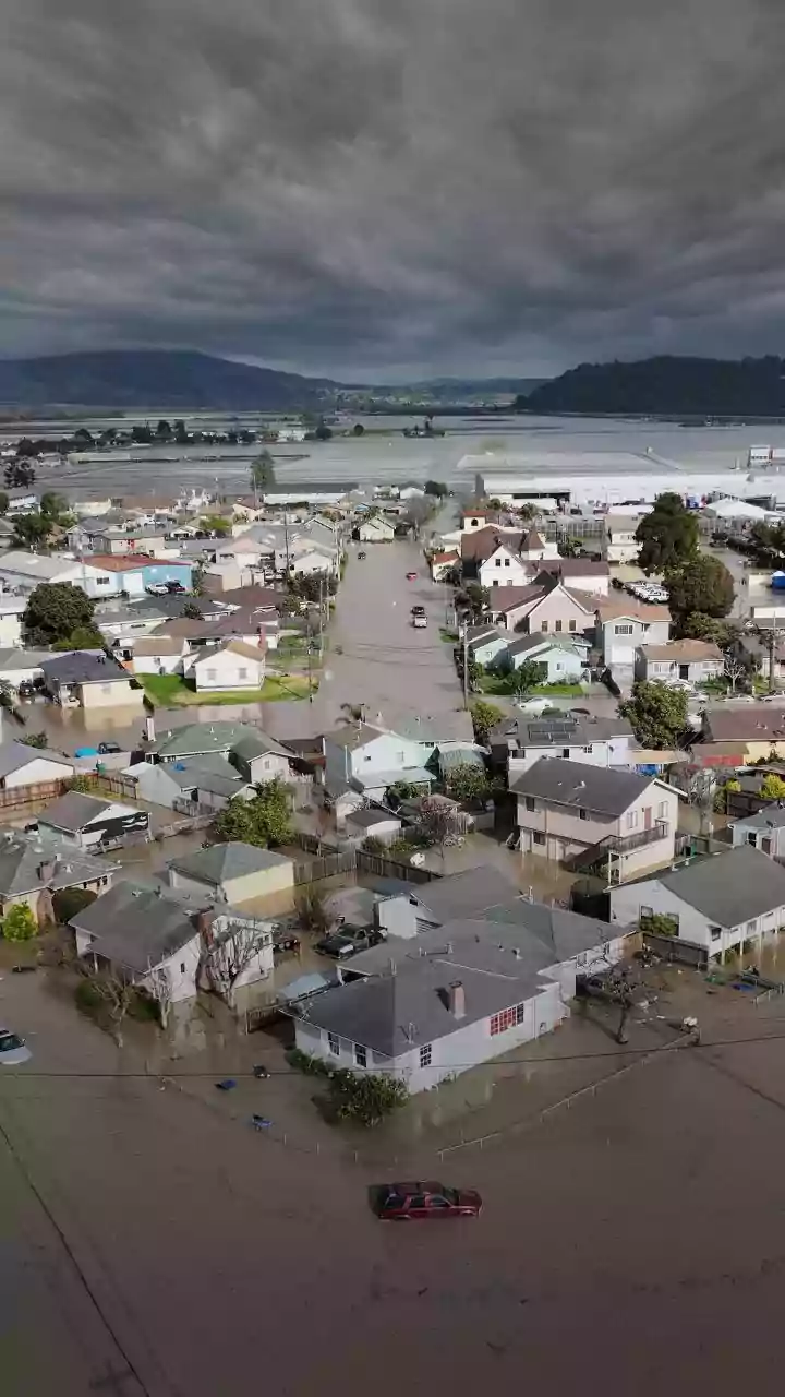
During the peak monsoon or a cyclone, thick cloud cover can blind traditional optical satellites. This is where ISRO's Radar Imaging Satellite (RISAT) series becomes invaluable. These satellites are equipped with Synthetic Aperture Radar (SAR), which uses microwaves that can penetrate clouds, haze, and darkness. This all-weather, day-and-night capability allows authorities to get a clear picture of the ground situation, such as the extent of flooding, even when the area is completely obscured by clouds. This information is crucial for guiding rescue and relief operations effectively and assessing damage after a disaster strikes.
Beyond Storms: A Wider Safety Net
The benefits of real-time satellite data extend far beyond cyclones and floods. The same technology is used to issue warnings for heatwaves, giving states time to activate action plans and reduce casualties. It helps in detecting and monitoring fog for aviation and transport safety, tracking forest fires, and even assessing agricultural drought conditions. By monitoring snow cover and glacial lake expansion in the Himalayas, these satellites provide critical data for assessing flash flood risks in mountainous regions. This comprehensive monitoring creates a broad safety net, making daily life safer and more predictable for millions across the country.