


An Eye in the Sky for Two Worlds
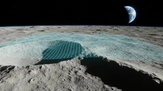
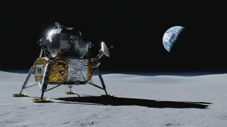
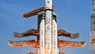
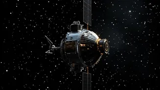
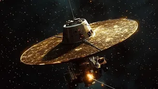
The story begins not on Earth, but in orbit around the Moon. The Dual-Frequency Synthetic Aperture Radar (DF-SAR) instrument, a key component of ISRO's Chandrayaan-2 orbiter, was designed to map the lunar surface in incredible detail. Its powerful radar
signals, particularly in the L-band frequency, could penetrate the loose lunar soil, or regolith, to search for signs of hidden water ice in permanently shadowed craters. This technology proved its worth, delivering invaluable data about our celestial neighbour. However, that same capability has found an equally important, if unexpected, application back home. This innovative radar technology served as a vital precursor to the joint NASA-ISRO Synthetic Aperture Radar (NISAR) mission, which now systematically scans the Indian landmass from Earth's orbit.
The Challenge of Seeing Underground
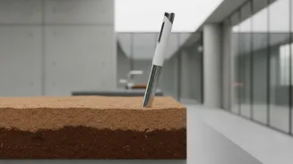
For farmers, hydrologists, and climate scientists, understanding the amount of water stored in the soil is critical. This moisture is a key indicator of crop health, drought risk, and potential flood conditions. But getting an accurate picture has always been difficult. Traditional methods, like physical soil probes, provide precise data for a single spot but cannot offer a view of an entire region. Other remote sensing techniques, such as optical or infrared sensors, can be blocked by clouds or dense vegetation and can only provide information about the very top layer of the surface. They cannot see into the crucial root zone, several centimetres below, where plants draw their water. This meant that large-scale, high-resolution maps of subsurface soil moisture remained an elusive goal.
How Radar Makes the Invisible Visible
This is where the genius of dual-frequency radar comes into play. The NISAR satellite, building on the legacy of the Chandrayaan-2 instrument, uses two different radar frequencies: the S-band (provided by ISRO) and the L-band (from NASA). Think of it like having two types of vision. The shorter-wavelength S-band interacts more with the surface and vegetation. The longer-wavelength L-band, however, can penetrate deeper through vegetation canopies and into the soil itself, sometimes up to several inches. The way these radar signals bounce back to the satellite changes depending on how much water is present in the soil. Wetter soil returns a brighter, stronger signal than drier soil. By comparing the data from both bands, scientists at ISRO's Space Applications Centre (SAC) can filter out the 'noise' from vegetation and create highly accurate estimates of moisture content deep beneath the surface.
A New Map for a Vital Resource
Using a physics-based algorithm developed at SAC, ISRO is now converting this stream of radar data into detailed soil moisture maps. The NISAR satellite images the entire country every 12 days, providing an updated picture of water availability at an impressive 100-metre resolution. This means each data point represents a square on the ground just 100 metres by 100 metres, a level of detail fine enough to be relevant for individual farming communities and district-level planning. These maps provide consistent estimates across India's diverse landscapes, from the irrigated Indo-Gangetic plains to the rainfed farmlands and semi-arid regions of western India. This data is now being made accessible through ISRO's Bhoonidhi portal, putting actionable intelligence directly into the hands of those who need it most.
The Future of Farming and Water Security
The implications of this technology are immense. For the first time, farmers and agricultural agencies have a near-real-time tool to monitor crop health and water stress on a massive scale. This enables smarter irrigation planning, helping conserve water in a changing climate. It also provides a powerful early-warning system for drought, allowing authorities to prepare and respond more effectively. Beyond agriculture, this data will improve weather forecasting, regional water resource management, and our understanding of how the water cycle is responding to climate change. It is a clear demonstration of how investments in space exploration can lead to profound and practical benefits for society, empowering a data-driven approach to national food and water security.