






The Current Situation
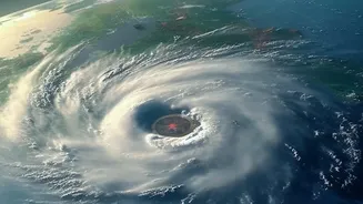
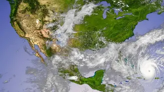
The system that began as a depression over the southeast Bay of Bengal intensified and was named Cyclonic Storm Akvan on the evening of November 16. As of the morning of November 18, it has further strengthened into a Severe Cyclonic Storm and is located
over the west-central Bay of Bengal. The IMD reported that the storm was centered approximately 610 km southeast of Machilipatnam and 610 km south-southeast of Visakhapatnam in Andhra Pradesh. The storm has been moving slowly, at about 3 kmph, in a north-northwestward direction.
The Forecasted Path and Intensity
The IMD has issued an Orange Message alert for the coasts of Andhra Pradesh and adjoining South Odisha. The forecast indicates that Akvan will continue to move northwestwards and is expected to intensify into a Very Severe Cyclonic Storm by the morning of November 19. Current projections suggest the cyclone will cross the Andhra Pradesh and Yanam coasts, likely making landfall between Nellore and Visakhapatnam. The expected time of landfall is around noon on November 20.
Expected Wind Speeds and Rainfall
At the time of landfall, Cyclone Akvan is predicted to be a Very Severe Cyclonic Storm with maximum sustained wind speeds of 120-130 kmph, gusting up to 145 kmph. Under the storm's influence, heavy to very heavy rainfall, with isolated extremely heavy spells, is likely over Coastal Andhra Pradesh and Yanam on November 19 and 20. Other states are also on alert; Telangana may see heavy rainfall on November 20 and 21, while Gangetic West Bengal and Jharkhand could experience widespread rain between November 19 and 21.
A History of November Cyclones
The post-monsoon season, from October to December, is a primary period for cyclonic activity in the Bay of Bengal. This is due to warm sea surface temperatures and favourable atmospheric conditions that support the formation and intensification of these powerful storms. The east coast of India, particularly states like Andhra Pradesh, Odisha, Tamil Nadu, and West Bengal, frequently experiences the impact of these systems. Cyclone Akvan's development fits this established pattern, arriving just weeks after cyclones Arnab and Murasu also impacted the Andhra Pradesh coast. The name 'Akvan' was contributed by Iran, derived from a character in the Persian epic 'Shahnameh'.
Official Advisories and Preparations
Authorities in the potentially affected states have begun preparations. The Andhra Pradesh government has placed coastal districts on high alert. The IMD has issued stringent warnings to fishermen, advising them to suspend all fishing operations in the central and west-central Bay of Bengal and to return to the coast. Sea conditions are expected to be very rough to high, with gale-force winds prevailing over large areas of the Bay of Bengal. A storm surge of up to 1.2 meters above the astronomical tide is possible, which could inundate low-lying areas of several coastal districts in Andhra Pradesh at the time of landfall. Officials are urging the public to follow official updates from the IMD and local disaster management agencies.