
The Kalderimia of the Greek Islands
Before asphalt roads, a network of stone-paved paths known as 'kalderimia' connected villages, monasteries, and remote coves across the Greek islands. Originally built for mules and foot traffic, these paths are often masterpieces of traditional engineering,
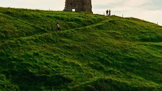
with hand-laid stones designed to withstand the elements. Today, islands like Symi, Sifnos, and the Pelion peninsula offer some of the most well-preserved kalderimia for hikers. Walking these routes is a direct connection to a slower, older way of life. You can follow a kalderimi from a hilltop village down to a secluded beach, passing tiny chapels and olive groves along the way, just as islanders did for centuries. These trails aren’t just about the destination; the path itself is a living piece of cultural heritage.
The Menalon Trail: Arcadia's Mythical Heart
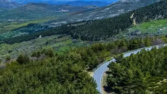
Deep in the Peloponnese peninsula lies Arcadia, a region steeped in mythology and said to be the home of the god Pan. The Menalon Trail, a 75-kilometre route, winds through this legendary landscape, connecting historic mountain villages like Stemnitsa and Dimitsana. This was the first trail in Greece to receive certification from the European Ramblers' Association, a testament to its quality and significance. The path follows ancient mule tracks that have been used for centuries to travel between monasteries and towns. Hikers will traverse the dramatic Lousios Gorge, where monasteries cling precariously to cliffs, and pass by old water mills that once powered the Greek Revolution. With sections passing through dense fir forests and alongside rushing rivers, the Menalon Trail is a journey through both nature and the deep history of a region that has captivated poets and artists for ages.
The Corfu Trail: From Southern Shores to Northern Peaks
Stretching the entire length of the island, the Corfu Trail is a remarkable route that pieces together old donkey paths, cobbled footways, and coastal tracks into a single journey. At around 180-220 kilometres, it guides hikers through an incredible diversity of landscapes, from the olive groves and gentle hills of the south to the rugged limestone mountains of the north. The trail passes through more than 100 villages, many of which are far from the usual tourist hubs, offering a glimpse into authentic island life. Highlights include ascending to the summit of Mount Pantokrator, the island’s highest peak, and descending a spectacular zig-zagging footpath to the coast. By linking these historic paths, the trail helps preserve the island’s traditional byways while offering an immersive way to experience its natural beauty and quiet corners.
Crete's E4 Path: Across Gorges and Mountains
The E4 European long-distance path crosses the entire continent, and its final leg in Greece traverses the island of Crete from west to east. This is not a single trail but a network of paths covering approximately 500 kilometres, offering some of the most challenging and rewarding hiking in the country. The route incorporates ancient paths that have been in use for thousands of years, leading hikers through dramatic gorges like Samaria, over the White Mountains (Lefka Ori), and past remote archaeological sites like the ancient city of Lissos, which is only accessible on foot or by boat. Trekkers can choose between high-altitude mountain sections and stunning coastal routes, both of which offer a profound connection to Crete's wild and untamed landscape. Walking the E4 here is an epic adventure through a land of myths, rebels, and breathtaking beauty.