





An Unprecedented Eye in the Sky
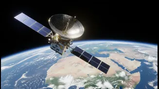
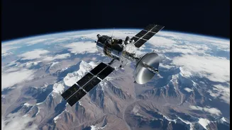
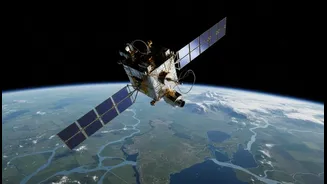
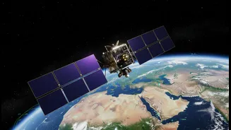
NISAR, which stands for NASA-ISRO Synthetic Aperture Radar, is the first satellite mission to use two different radar frequencies to systematically map our planet. Launched in July 2025, this sophisticated observatory orbits Earth every 100 minutes, scanning
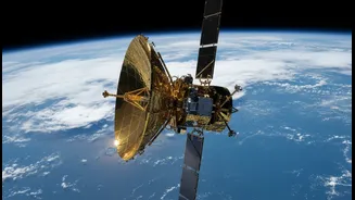
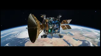
nearly the entire globe every 12 days. Unlike optical satellites that need daylight and clear skies, NISAR's radar technology allows it to collect data in all weather conditions, day or night. The mission is a monumental collaboration, with NASA providing the L-band radar and a massive 12-metre reflector antenna, while ISRO contributed the S-band radar, the spacecraft itself, and the launch vehicle. This partnership makes NISAR one of the most expensive and advanced Earth-imaging satellites ever built.
The Power of Two Radars
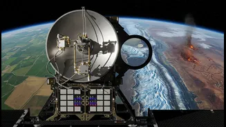
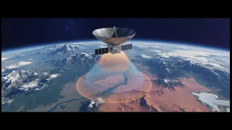
What makes NISAR so special is its dual-frequency radar system. It carries both an L-band and an S-band Synthetic Aperture Radar (SAR). Think of them as having two different types of vision. The longer wavelength L-band radar, provided by NASA, can penetrate through forest canopies and even dry snow to see the ground surface, making it ideal for monitoring changes in land deformation, ice movement, and soil moisture deep in the ground. ISRO's S-band radar has a shorter wavelength, which is more sensitive to smaller vegetation, crop health, and the moisture content in the top layer of soil. By combining the data from both, scientists get a comprehensive, multi-layered view of Earth’s processes that was never before possible from a single satellite. All the data collected is made freely available to the public, empowering researchers and policymakers globally.
A Boon for Indian Agriculture
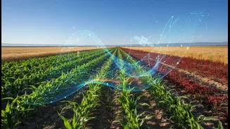
For India, NISAR's capabilities are a game-changer, especially for its vast agricultural sector. The satellite provides high-resolution soil moisture maps every 12 days, allowing for near real-time tracking of drought conditions and water availability. This data, available at a 100-metre resolution, helps distinguish between rain-fed fields and irrigated ones, enabling officials to plan irrigation schedules far more effectively. By monitoring crop health from planting to harvest, the mission provides invaluable information for estimating yields and ensuring food security. This shift from guesswork to data-driven farming can significantly improve resource management and boost the resilience of millions of farmers across the country.
Guarding the Himalayan Glaciers
The Himalayas, often called the 'Third Pole', are a critical source of water for a significant portion of South Asia. Monitoring these glaciers is vital, but the rugged terrain and frequent cloud cover make it incredibly difficult for traditional satellites. NISAR's radar pierces through clouds and can even penetrate dry snow, offering an uninterrupted view of glacial changes. It can detect subtle shifts in ice flow and monitor the volume of glacial lakes, which is crucial for assessing the risk of Glacial Lake Outburst Floods (GLOFs)—a growing threat in the region. Scientists can now track the health of these vital water towers with unprecedented accuracy, providing essential data for water resource management and climate change adaptation strategies.
A Shield Against Disasters
Beyond long-term monitoring, NISAR is a powerful tool for disaster management. Its ability to detect tiny surface movements—as small as a centimetre—makes it invaluable for studying tectonic stress and providing early warnings for landslides and land subsidence. After an earthquake, NISAR can quickly map ground deformation to help assess damage and guide relief efforts. In vegetated areas like the Western Ghats, its canopy-penetrating radar can identify landslides that would otherwise be hidden. For floods, it can map the extent of submerged areas, even under vegetation cover, providing a clearer picture of the impact. This rapid, detailed information allows authorities to respond faster and more effectively, potentially saving lives and resources.