

An Understandable First Guess
The Himalayas are one of the most geologically dynamic regions on Earth. The constant grinding of the Indian and Eurasian tectonic plates makes earthquakes a frequent and dangerous reality. It is well-established that strong seismic shaking can trigger
landslides, which in turn can block rivers. When these natural dams eventually break, they release a torrent of water and debris, causing a catastrophic flash flood. Given this context, suspecting an earthquake as the trigger for a sudden flood is a logical first step for both the public and scientists. In the initial moments of a disaster, reports are often confusing, and the most obvious culprit in a place like Nepal is the ground shaking itself. This assumption, however, is precisely what scientific analysis is designed to test.
The Telltale Signs of an Earthquake
When an earthquake triggers a landslide, it leaves a distinct set of fingerprints. The primary evidence comes from seismographs, instruments that measure ground motion. A tectonic earthquake produces a unique seismic signature, with specific wave patterns that geologists can easily identify. Furthermore, earthquake-induced landslides tend to have certain characteristics. They are often located closer to ridge tops where ground shaking is amplified and can involve deep-seated bedrock failure. So, the first thing scientists do is check the global network of seismometers. Was there a recorded tectonic event at the right time and in the right place to have caused the landslide that led to the flood? This is the critical first question in the investigation.
The Silence of the Seismographs
In the case of a recent major flash flood, the data told a different story. While seismographs did pick up a seismic signal, it was not that of a typical earthquake. Initial reports from agencies like the U.S. Geological Survey (USGS) sometimes mention a small quake before being revised. Upon closer analysis of the long-period seismic waves, scientists determined that the signal was generated by the landslide itself—the immense energy of millions of tonnes of rock and ice crashing down the mountain created its own seismic event. Experts were quick to point out that this was a misinterpretation of the data; the seismic signal was the result of the collapse, not the cause. There was no preceding tectonic earthquake recorded that could have acted as the trigger.
The Real Culprit: A Climatic Cascade
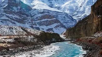
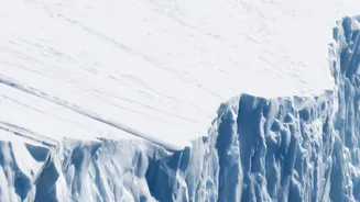
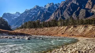
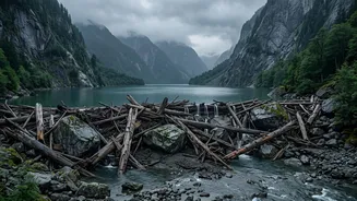
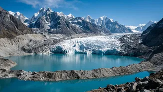
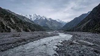
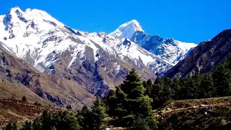
With a tectonic trigger ruled out, investigators turned to other evidence, including satellite imagery and weather data. The culprit was found high in the mountains: a glacier collapse or an ice avalanche. In a warming climate, glaciers in the Himalayas are retreating and becoming more unstable. This can lead to a chain reaction. An enormous chunk of ice and rock can break off a glacier, crashing into a valley below. This avalanche can block a river, forming a temporary dam. Water builds up rapidly behind this blockage. When the unstable dam fails, it releases a devastating flood wave, a phenomenon known as a Glacial Lake Outburst Flood (GLOF) or a similar event caused by a landslide dam. Hydrological data from the recent flood showed an exceptionally rapid rise in water levels—as much as nine meters in half an hour—consistent with the sudden release of a large volume of impounded water, not a rain-fed flood.
Why the Distinction Matters
Differentiating between an earthquake-triggered flood and one caused by a glacier collapse is not just an academic exercise. It has profound implications for disaster preparedness and risk mitigation in the Himalayan region, including in India. While we cannot predict earthquakes, we can monitor the health of glaciers and the stability of the lakes forming at their edges. Understanding that many of these disasters are now being driven by climatic factors, rather than purely geological ones, shifts the focus. It underscores the urgent need for better cross-border early warning systems, as a glacial event in one country can cause a catastrophic flood downstream in another. By correctly identifying the cause, scientists and policymakers can develop more targeted strategies to monitor these evolving threats and protect the vulnerable communities living in the shadow of the world's highest mountains.