






ISRO’s Eyes on the Ocean
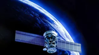
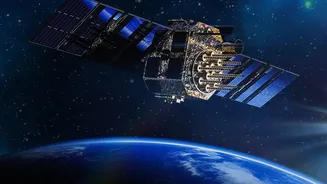
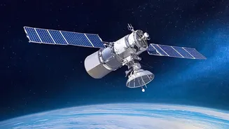
The Oceansat series is a family of earth observation satellites designed and operated by the Indian Space Research Organisation (ISRO) specifically for oceanographic studies. Beginning with Oceansat-1 in 1999, the programme was established to provide
a continuous stream of data on our oceans. The latest in this series, Oceansat-3 (also known as EOS-06), was launched in November 2022 to continue and enhance the work of its predecessors. These satellites orbit the Earth in a polar sun-synchronous orbit, allowing them to systematically map the globe. Their primary mission is to monitor key oceanic parameters, such as water temperature, wind patterns, and, crucially, the colour of the ocean, which reveals a wealth of information about marine life.
Guiding Fishermen to a Better Catch
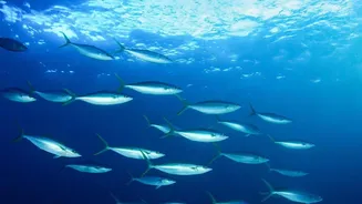
For India's approximately seven million coastal residents who depend on fishing, finding fish has always been a challenge of time, resources, and luck. The OceanSat series has changed that. Using an instrument called the Ocean Colour Monitor (OCM), the satellites can detect the concentration of chlorophyll, the pigment in microscopic marine plants called phytoplankton. Since phytoplankton form the base of the marine food chain, high concentrations indicate areas where fish are likely to gather to feed. This data, combined with Sea Surface Temperature (SST) readings, is relayed to the Indian National Centre for Ocean Information Services (INCOIS). INCOIS then processes this information to create and disseminate Potential Fishing Zone (PFZ) advisories, pointing fishermen toward the most promising locations. These advisories, available in regional languages, reduce searching time, save significant amounts of fuel, and increase profitability for fishermen. Studies have shown that following PFZ advisories can dramatically increase a fisherman's catch and income.
A Guardian Against Turbulent Weather
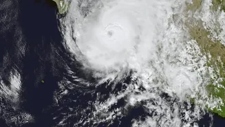
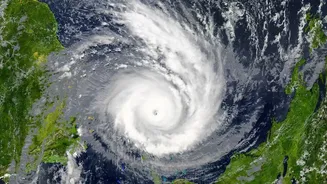
Beyond its economic benefits, the OceanSat series plays a vital role in public safety. The satellites are equipped with scatterometers, microwave radar sensors that measure wind speed and direction over the ocean surface. This capability is crucial for tracking the formation and intensification of cyclones. The data from instruments like the SCAT-3 on Oceansat-3 provides an early warning of developing storm systems, giving disaster management authorities valuable lead time to prepare and issue alerts. By monitoring wind circulation and combining this with data from other satellites like the INSAT-3DR, forecasters can make more accurate predictions about a cyclone's path and intensity. This enhanced tracking allows for timely evacuations and other safety measures, protecting lives and property along India's extensive coastline.
More Than Just Fish and Cyclones
The applications of OceanSat data extend far beyond fishing and weather. The information gathered helps scientists study long-term climate trends, monitor harmful algal blooms, and track marine pollution and sediment distribution. The Ocean Colour Monitor, for instance, helps researchers understand the ocean's carbon cycle by observing phytoplankton activity. The satellites also contribute to monitoring the health of coastal ecosystems, such as coral reefs, which are sensitive to changes in water temperature. Furthermore, the data aids in land-based studies, including monitoring vegetation health and assessing air quality. This versatility makes the OceanSat series a multi-purpose tool that supports a wide range of scientific and environmental management efforts across the country.