



A Journey from the Roof of the World
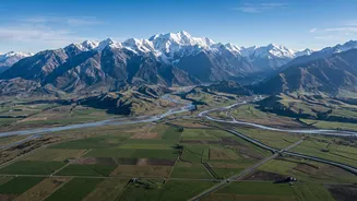
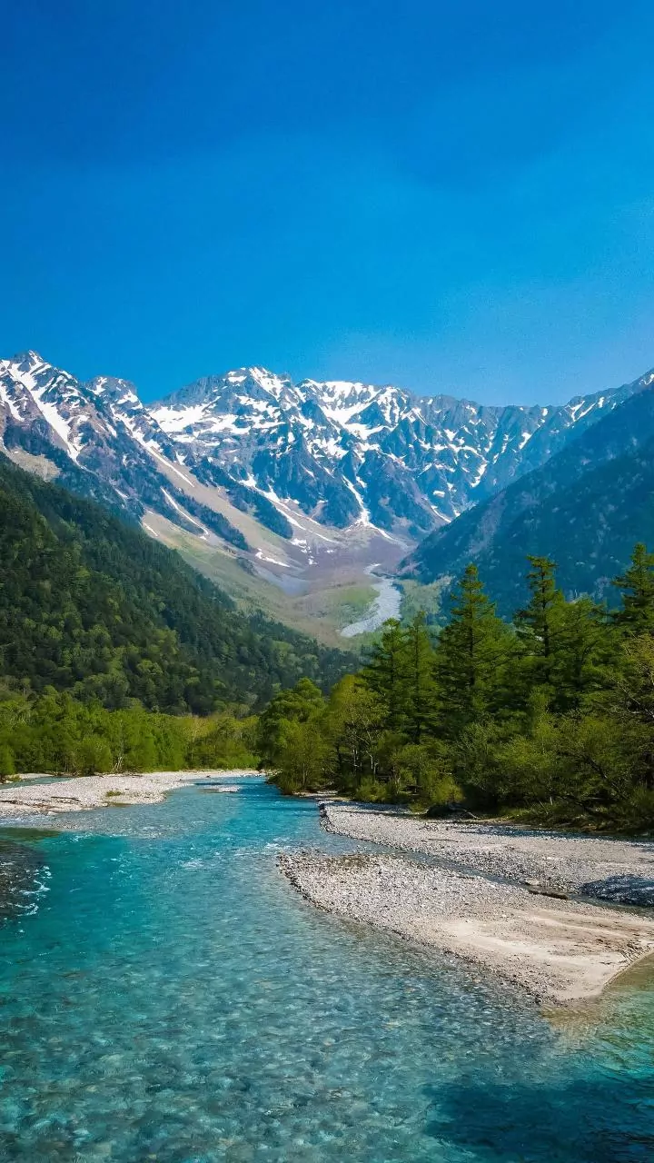
The Kosi is not a single river but a mighty system born from the confluence of seven major tributaries in Nepal, earning it the name 'Saptakoshi'. These tributaries drain a vast area that includes the world's highest peaks, including Mount Everest. Starting
its journey at altitudes of over 8,000 meters, the river carves a path through the young and geologically fragile Himalayas. This makes the Kosi an antecedent river, meaning it existed before the Himalayas rose and maintained its course by cutting through the rising mountains over millions of years. This tremendous erosive power is the first critical piece of the puzzle.
The River's Heavy Burden
The defining characteristic of the Kosi is the colossal amount of sediment it carries. As it descends through Nepal, it erodes the soft, young Himalayan rock, picking up an enormous volume of silt, sand, and debris. The river transports an estimated 100 million tonnes of sediment annually past the Chatra gorge in Nepal. This sediment load is among the highest in the world, far exceeding that of major rivers like the Amazon or the Mississippi on a per-square-kilometre basis. This heavy burden is the primary reason for its destructive and unpredictable nature once it leaves the mountains.
The Great Slowdown on the Plains
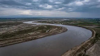
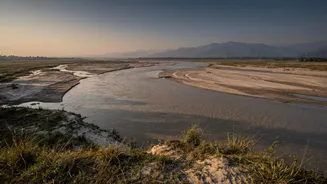
The link between Nepal's mountains and Bihar's floods is forged at the point where the topography dramatically changes. After rushing through the narrow Chatra Gorge in Nepal, the Kosi River emerges onto the vast, flat plains of Bihar. The sudden and drastic reduction in gradient causes the river's velocity to drop. Unable to carry its heavy sediment load any further, the river deposits it across the plains. Over centuries, this deposition has built a massive alluvial fan—a cone-shaped deposit of sediment—spreading over 15,000 square kilometres. This process causes the riverbed to rise steadily, often elevating it above the surrounding land.
An Unstable Path of Destruction
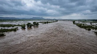
With its own bed raised by silt, the Kosi is constantly seeking a lower path. This leads to a phenomenon known as 'avulsion', where the river abruptly abandons its channel and carves a new one. Historical records show the Kosi has shifted its course westward by more than 120 kilometres over the last 250 years, leaving a trail of abandoned channels and devastation. This inherent instability is why it is notoriously called the 'Sorrow of Bihar'. The floods are not just about overflowing banks; they are about the river itself violently changing its entire course, inundating vast, previously populated and fertile areas.
The Human Factor: Embankments and Barrages
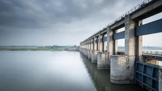
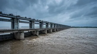
To tame the river, the Kosi Barrage was constructed on the Indo-Nepal border between 1959 and 1963 under an agreement between the two countries. Embankments were built along its sides to confine the channel. However, this has had unintended consequences. The embankments trap the sediment within the channel, causing the riverbed to rise even faster. This has created a 'superelevated' river, flowing precariously high above the adjacent plains. When a breach occurs, as it did catastrophically in 2008 near Kusaha in Nepal, the result is a disaster. The river broke through its embankment and reclaimed an old channel 120 km to the east, affecting millions in Bihar.