

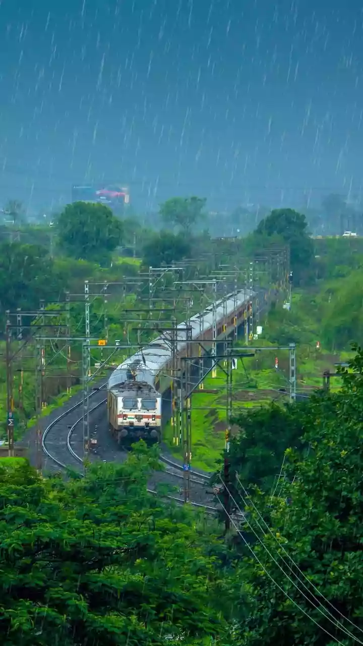






Which Regions Are on Alert?
The latest forecast from the India Meteorological Department focuses on the western coastal states. The regions expected to be most affected by this active monsoon phase include Konkan & Goa, Madhya Maharashtra, and large parts of Gujarat. According to the IMD,
these areas will experience vigorous monsoon conditions over the next few days. While widespread rain is anticipated, specific districts within these states may receive heavy to very heavy rainfall at isolated places. Residents in these regions, particularly in low-lying areas prone to waterlogging, are advised to stay updated with local weather bulletins issued by the state and district authorities.
What Does the Forecast Predict?
The IMD's alert, issued on July 28th, details a multi-day weather event. For the Konkan & Goa region and Madhya Maharashtra, the forecast from July 28th to 30th includes the likelihood of thunderstorms, lightning, and gusty winds reaching speeds of 40-50 kmph. For the Gujarat region, the intensity is expected to build, culminating in a forecast for isolated but extremely heavy rainfall on July 31st. This suggests a concentrated downpour capable of causing significant local disruption. The alert is a call for preparedness, signaling that this is not a typical monsoon shower but a more powerful weather event that requires attention.
Why Is This Spell So Intense?
The primary driver behind this intense monsoon spell is a weather system that originated thousands of kilometres away. A Deep Depression formed over the Bay of Bengal and has been moving in a west-northwestward direction across central India. As this powerful system tracks inland, its influence is being felt across a wide geographical area. For Western India, this system is strengthening the westerly winds blowing from the Arabian Sea, pulling in a large amount of moisture. This moisture-laden air then releases its precipitation as it hits the coast and the Western Ghats, resulting in the heavy rainfall predicted by the IMD.
Potential Impact on Daily Life
Spells of heavy rainfall, especially when combined with strong winds, can have a significant impact on daily routines. The most immediate concerns are waterlogging on major roads and in residential areas, which can lead to severe traffic congestion and travel delays. Commuters are advised to plan for longer travel times and, if possible, avoid navigating through flooded streets. There is also a risk of temporary disruptions to power supply and communication networks. Authorities have advised citizens to avoid unnecessary travel during periods of intense rain and to stay away from coastal areas where sea conditions could become rough.
Key Safety Measures to Follow
In response to the IMD's alert, it is crucial for residents to prioritise safety. Firstly, keep track of the latest weather updates from official sources like the IMD website and local disaster management authorities. Avoid spreading or believing rumours. Secure loose objects on balconies or terraces that could be dislodged by strong winds. Ensure your mobile phones and emergency lights are fully charged in case of power outages. Prepare a basic emergency kit with essentials like a first-aid kit, drinking water, and non-perishable food. It is also wise to stay clear of storm drains, culverts, and any areas known for flash flooding. Following these simple precautions can help mitigate risks during this intense weather period.