






The Annual Shravan Slowdown
For millions across North India, the month of Shravan, which begins around late July, is a time of deep religious significance. It marks the annual Kanwar Yatra, one of the largest religious pilgrimages on Earth, where devotees of Lord Shiva, known as
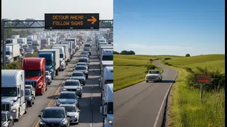
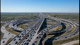
Kanwariyas, journey on foot to collect holy water from the Ganga. This mass movement, involving crores of people, has a profound impact on national infrastructure. Major highways, particularly NH-34 (formerly NH-58) connecting Delhi to Haridwar, experience significant restrictions, with sections often completely closed to regular traffic for weeks. Police departments in several states issue detailed advisories and implement diversions, but for the average person trying to get to work or travel between cities, it means facing unpredictable, gridlocked roads.
Your Phone as a Traffic Scout
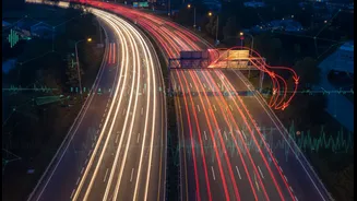
In the face of these large-scale, planned disruptions, tech-savvy commuters have turned their smartphones into indispensable tools for navigation. The solution lies in community-powered or crowdsourced traffic applications. Apps like Google Maps, Waze, and the India-developed Mappls have become the modern-day equivalent of a local scout, providing real-time intelligence that official advisories, while crucial, often cannot match in moment-to-moment detail. These platforms don't just show a static map; they create a live, breathing picture of the road network, fed by the very people who are stuck in it.
How Commuters Become Co-Pilots
The “crowdsourcing” in these apps is the key. Every user with the app open is a silent contributor, their phone's GPS data anonymously feeding into the system to calculate traffic speed and density. This is what turns a road red, yellow, or green on your map. But the community aspect is even more explicit. Users actively report incidents that are crucial during the Yatra. Waze, for instance, allows users to report police presence, accidents, hazards on the road, and closures in real-time. Mappls allows for reporting potholes and water logging. During Shravan, these reports become a vital information layer. A user might report a specific road as being blocked by a Kanwariya procession, or a diversion that has just been put in place by police, giving other users seconds or minutes away a chance to find an alternative route.
The Digital Toolkit for the Roads
Google Maps remains the default for many, its strength lying in the sheer volume of users providing data for its live traffic layer. Its ability to reroute based on sudden congestion is invaluable. Waze, owned by Google but operating with a more active user community, excels at providing context for the traffic jams. Its icon-based alerts for police, obstacles, or jams are shared instantly among drivers. Mappls by MapmyIndia offers another layer, with features tailored to Indian road conditions and the ability for users to share complex addresses with a simple code. For a commuter, using a combination of these apps can provide the most comprehensive picture: Google for the baseline traffic, Waze for community alerts, and official police advisories for planned closures.
Beyond Avoiding Jams
This trend represents more than just a clever life-hack. It's a powerful example of how digital tools are being integrated into the fabric of Indian life, adapting to solve unique, culturally specific challenges. The flow of information is also becoming a two-way street. While commuters use apps to navigate official diversions, police and administrative bodies are increasingly aware of the real-time data being generated. They use this broader understanding of traffic flow to manage congestion more dynamically. This symbiotic relationship between citizens and authorities, mediated by technology, turns millions of individual drivers into a collective intelligence, making an unmanageable situation just a little more navigable for everyone.