


A Catastrophe in Minutes
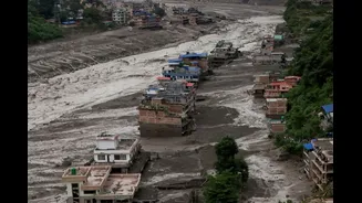
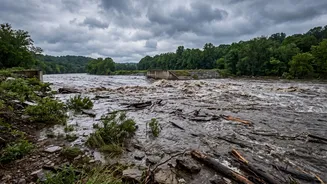
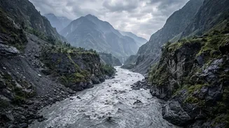
On the morning of August 26, a sudden, torrential surge of water, mud, and debris raged down the Bhote Koshi river and its tributaries, originating near the Nepal-Tibet border. The flood appeared with little warning, sweeping away villages, bridges, and hydropower
projects, and causing extensive devastation in Nepal's Rasuwa and surrounding districts. The disaster claimed over 160 lives in Nepal and China, with hundreds more reported missing, including many foreign tourists and pilgrims. Eyewitnesses described a wall of cement-colored water that destroyed everything in its path.
The Decoy: A Phantom Earthquake
Initial reports from officials pointed to a likely cause: an earthquake. Seismographs had indeed registered a seismic event measuring around magnitude 4.4 at the time of the disaster, a plausible trigger in the seismically active Himalayan region. This theory suggested a quake could have triggered a landslide, blocking a river and causing a dam-breach scenario. For hours, this remained the working explanation for the sudden and catastrophic flood.
The Real Culprit: A Mountain Comes Undone
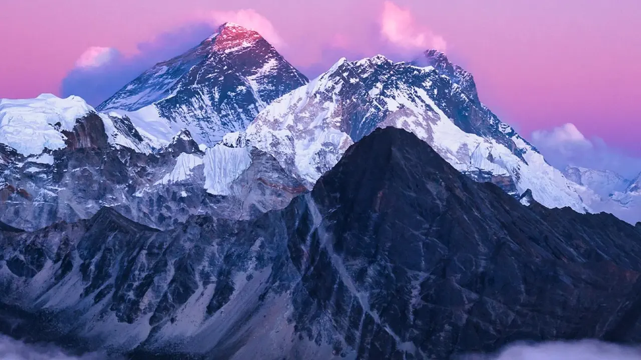
However, deeper analysis by the U.S. Geological Survey (USGS) revealed a different story. The seismic signals were not from a tectonic earthquake but were the thunderous signature of the disaster itself. Scientists determined that a massive section of a glacier, along with rock and ice, had collapsed from a high peak. Using satellite imagery and analyzing long-period seismic waves, the USGS concluded the event was a "glacial collapse and debris flow," upgrading the event's seismic equivalent to magnitude 5.2. In essence, the mountain falling generated the energy of a moderate earthquake, it wasn't the other way around.
How Scientists Solved the Mystery
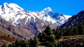
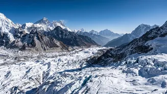
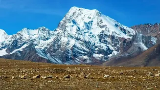
Geologists and scientists from around the world pieced together the evidence like detectives. By comparing 'before' and 'after' satellite images from companies like Planet Labs, they could pinpoint the exact location of the collapse. The images showed a huge, 2,000-foot-wide chunk of a glacier at an elevation of 17,000 feet had sheared off and plunged into the valley below. The incredible energy from this fall was enough to melt the ice within the avalanche, creating a fast-moving, destructive slurry of water, rock, and mud that raced downstream. This type of event, a rock and ice avalanche, is distinct from a glacial lake outburst flood (GLOF), though both are severe mountain hazards.
A Grim Warning for the Himalayas
While this specific event cannot be attributed solely to climate change without further study, it serves as a terrifying example of the growing dangers in the world's highest mountains. The Himalayan region is warming at nearly twice the global average, causing glaciers to retreat at an alarming rate. This rapid melting can destabilize the ice and surrounding rock, making massive collapses more likely. Events like the 2021 Chamoli disaster in India were also caused by a similar rock and ice avalanche. These catastrophes highlight the increasing risk to downstream communities and vital infrastructure, like hydropower plants, that are being built throughout the region.