


A New Eye in the Sky
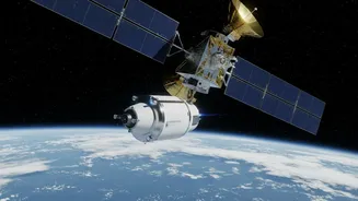
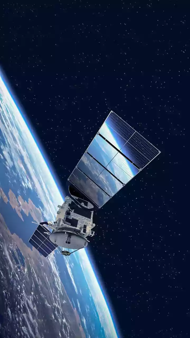
Orbiting hundreds of kilometres above Earth, a revolutionary satellite is changing how we see our planet. The NASA-ISRO Synthetic Aperture Radar, or NISAR, is a joint mission between the US space agency and the Indian Space Research Organisation (ISRO)
that represents a monumental achievement in international scientific partnership. Launched in July 2025, NISAR is equipped with the most advanced radar system ever sent to space for Earth observation. Unlike optical satellites that are hindered by clouds or darkness, NISAR uses radar to provide an all-weather, day-and-night stream of data, mapping nearly the entire globe every 12 days. For India, this collaboration not only marks a high point in its space exploration journey but also equips the nation with a powerful tool to monitor its own dynamic landscape, from the Himalayan glaciers to its vast agricultural plains and long coastlines.
The Power of Two Radars
What makes NISAR so special is its 'two-in-one' vision. It is the first satellite mission to use two different radar frequencies—L-band and S-band—to observe Earth's surface. NASA provided the L-band instrument, which uses a longer wavelength ideal for penetrating forest canopies and looking deep into ice sheets. ISRO contributed the S-band radar, which has a shorter wavelength that is more sensitive to smaller-scale changes, like soil moisture and light vegetation. Together, they create incredibly detailed, high-resolution images that can detect changes on the ground as small as a single centimetre. The data is captured by a massive 12-metre-wide mesh antenna reflector, the largest of its kind ever launched by NASA, which allows the satellite to scan a vast 240-kilometre swath of Earth's surface with each pass.
Unprecedented Detail on Polar Ice
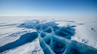
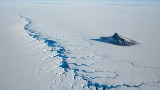
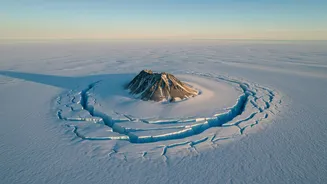
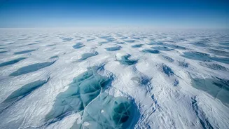
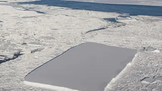
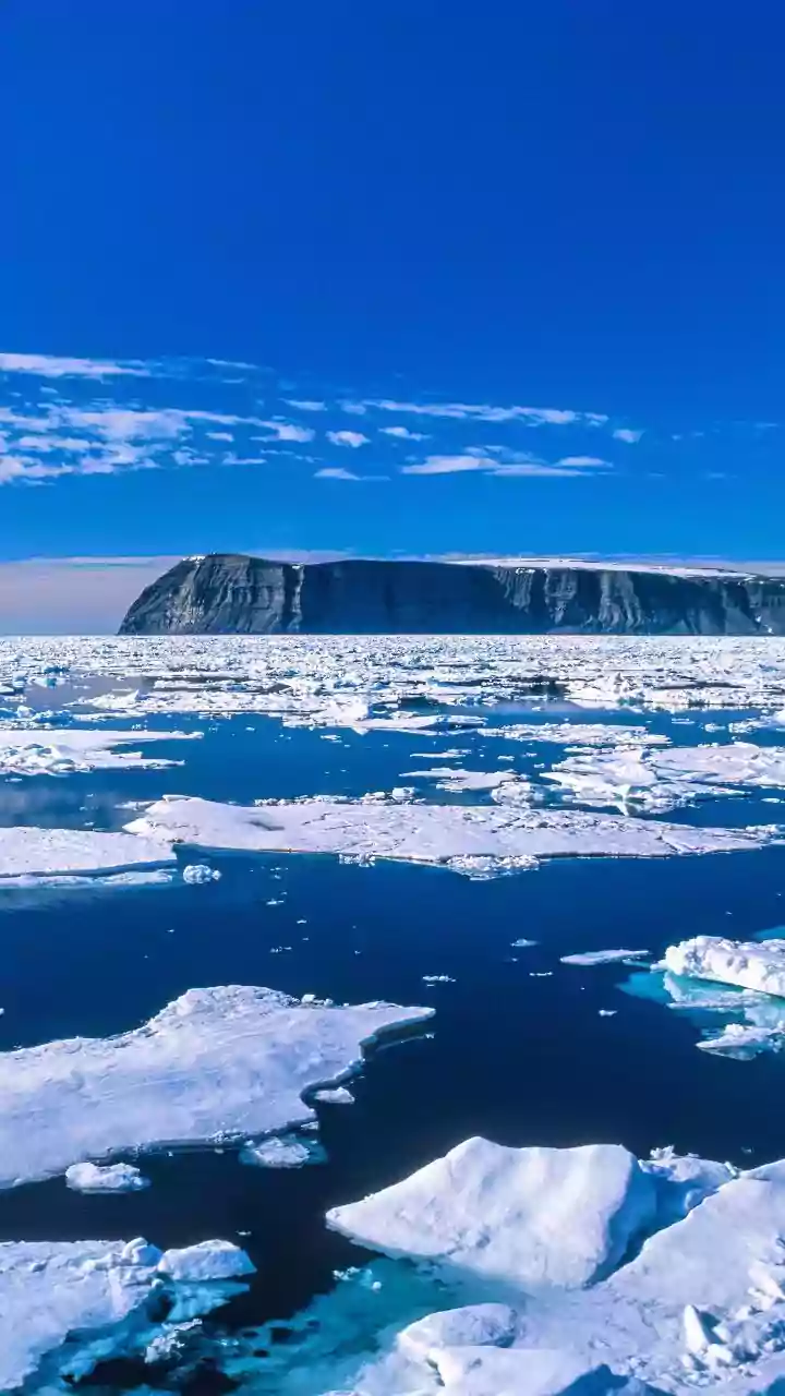
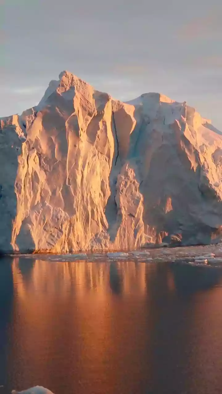
The mission is already delivering on its promise with breathtaking insights into polar ice dynamics. Recent images from Antarctica have captivated scientists. One now-famous image from July 2026, nicknamed 'the hummingbird' by researchers, reveals a rocky mountaintop poking through an ice stream. As the glacier flows around this obstruction, the immense stress creates a network of deep cracks, or crevasses, that are clearly visible to NISAR's radar but hidden under snow in normal optical images. The radar's ability to penetrate the surface and differentiate between smooth ice and heavily fractured zones provides a fundamentally new way to study how glaciers move and break apart. This allows scientists to monitor the stability of critical ice sheets, track the grounding line where ice meets water, and measure the flow rates of glaciers with unparalleled precision—all vital for understanding the potential for sea-level rise.
Why Polar Ice Matters to India
While the Arctic and Antarctica may seem worlds away, their health is directly tied to India's future. The melting of polar ice is a primary driver of global sea-level rise, posing a significant threat to India's densely populated coastal cities and low-lying regions like the Sundarbans. NISAR's data will dramatically improve the climate models used to forecast these changes, giving policymakers better tools for planning and adaptation. Furthermore, changes in polar ice can influence global weather patterns, including the monsoon, which is the lifeblood of India's agriculture-driven economy. By providing a continuous and detailed record of these changes, NISAR acts as an early warning system for the entire planet.
Beyond the Ice: A Multipurpose Sentinel
The satellite's capabilities extend far beyond the cryosphere. NISAR's data is a treasure trove for a wide range of applications critical to India. It will be used to monitor deforestation and measure forest biomass, helping to track carbon stocks and support conservation efforts. In agriculture, it can assess soil moisture and crop health, providing invaluable information for food security. Its ability to detect subtle ground deformation will also revolutionise disaster management by improving our understanding of risks from earthquakes, landslides, and volcanic activity. With its data made freely and openly available, NISAR is set to empower a new generation of research and innovation in India and across the globe.