


A New Perspective on an Age-Old Practice
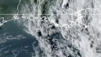
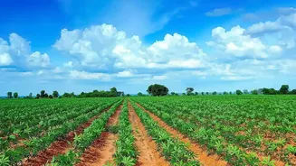
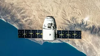
For generations, farmers have relied on experience and walking the fields to gauge crop health. Today, technology offers a powerful new tool: satellite remote sensing. Hundreds of kilometres above the Earth, satellites equipped with advanced sensors capture
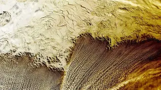
detailed images of farmland. This isn't just a simple photograph; the data collected can reveal crucial information about crop health, soil conditions, and water levels that are invisible to the naked eye. This technology, once confined to research institutions, is now becoming an accessible and affordable tool for everyday farm management, allowing for what is known as precision agriculture. It moves farming from guesswork to data-driven decision-making.
Decoding the Data: What Satellites See
Satellites see the world in a different light, literally. They measure how plants reflect visible and near-infrared light. This data is often processed into a simple indicator called the Normalized Difference Vegetation Index, or NDVI. In simple terms, NDVI is a measure of plant health. A high NDVI value, often shown in green on a map, indicates dense, healthy vegetation with high chlorophyll content. Lower values, appearing as yellow or red, can signal areas of stress long before the crops visibly wilt or change colour. This early warning system can point to issues like nutrient deficiencies, pest attacks, or water stress, allowing farmers to investigate and act quickly.
The Practical Benefits for Your Farm
Using satellite data isn't just about spotting problems; it's about optimising resources and boosting profitability. By identifying specific zones in a field that are underperforming, farmers can apply fertilisers and pesticides precisely where they are needed, reducing waste and input costs. Similarly, by monitoring soil moisture levels, satellite data helps in scheduling irrigation more efficiently, conserving precious water resources. This targeted approach, known as precision farming, not only saves money but also promotes more sustainable agricultural practices. Studies and real-world examples have shown that farmers using this technology can see significant increases in their crop yields and overall revenue.
Turning Insights into Action
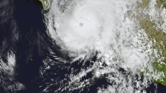
The true power of satellite imagery lies in turning the data into concrete actions. An NDVI map might show a patch of low vegetation in the corner of a wheat field. This prompts the farmer to scout that specific area. There, they might discover a pest infestation or a blocked irrigation channel. Without the satellite data, the problem might have gone unnoticed until it had spread, causing significant damage. Satellite information helps create accurate yield predictions, enabling farmers to make better marketing and storage decisions. It also helps in preparing for weather-related risks like droughts or floods by providing a broader view of regional conditions.
Accessing Satellite Technology in India
This technology is no longer out of reach for Indian farmers. The Indian government has been actively promoting the use of space technology in agriculture through initiatives like the Digital Agriculture Mission, FASAL, and AgriStack. These programs aim to provide farmers with data-driven advisories and integrate satellite information with other government schemes like PM-Fasal Bima Yojana for more accurate crop insurance assessments. Alongside government efforts, a growing number of Indian agritech startups, such as Cropin, Satyukt Analytics, and platforms like AgriBhumi, are making this technology even more accessible. They offer user-friendly mobile apps that process complex satellite data and provide simple, actionable recommendations in multiple Indian languages, often without needing any special hardware on the farm.