




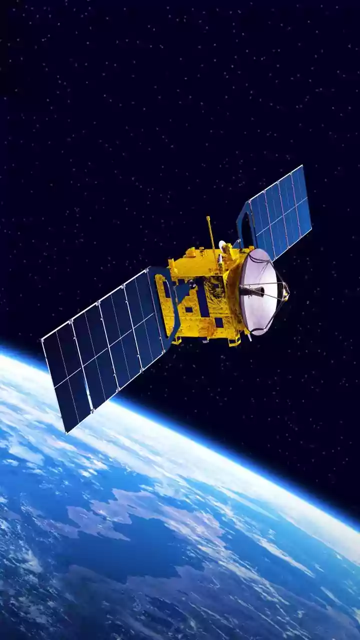



An Unprecedented Eye in the Sky
NISAR is not just another satellite; it is the first to use two different radar frequencies to observe our planet. Developed jointly by the US and Indian space agencies, it combines NASA's L-band and ISRO's S-band Synthetic Aperture Radar (SAR) instruments.
This dual-frequency capability allows it to see through clouds and darkness, collecting highly detailed data day and night, regardless of the weather. Its advanced radar can detect changes in Earth's surface as small as a centimetre, offering a level of precision that was previously unattainable on a global scale. The satellite will orbit Earth every 12 days, systematically mapping nearly all of our planet's land and ice surfaces, creating a rich, consistent time-series of information.
A Landmark Scientific Partnership
The NISAR mission is a testament to the powerful strategic partnership between NASA and ISRO. Under the agreement, NASA provided the L-band radar, a high-rate communication system, and GPS receivers, while ISRO contributed the spacecraft itself, the S-band radar, and the GSLV launch vehicle. This 50/50 collaboration has been hailed as a significant milestone in civil space cooperation between the two nations. By combining their expertise and resources, the agencies have created an observatory far more capable than either could have developed alone. The mission is built on a foundation of open data, meaning all information collected by both the L-band and S-band instruments will be made freely available to the public, scientists, and institutions worldwide.
Monitoring Earth's Dynamic Systems
The primary goal of NISAR is to make global measurements of the causes and consequences of land surface changes. This includes a vast range of critical environmental shifts. The satellite will provide invaluable data on the dynamics of earthquakes, volcanoes, and landslides by tracking subtle ground movements that can act as warning signs. It will monitor the planet's changing ecosystems, providing information on deforestation, agricultural biomass, and soil moisture levels, which are vital for food security. Furthermore, NISAR will play a crucial role in climate science by tracking the melt rates of ice sheets and glaciers, helping scientists refine models of sea-level rise.
What NISAR Means for India
For India, the benefits of the NISAR mission are particularly significant and align with national priorities. The satellite will provide crucial data for managing the country's vast agricultural lands and water resources. Its ability to monitor the Himalayan glaciers is essential for understanding water availability and glacial-related hazards in the region. The data will also bolster disaster management capabilities, offering early warnings for landslides, which are a common threat in many parts of the country. By co-developing and launching this cutting-edge satellite, India solidifies its position as a global leader in space technology and Earth observation.