





A New Eye in the Sky: NISAR
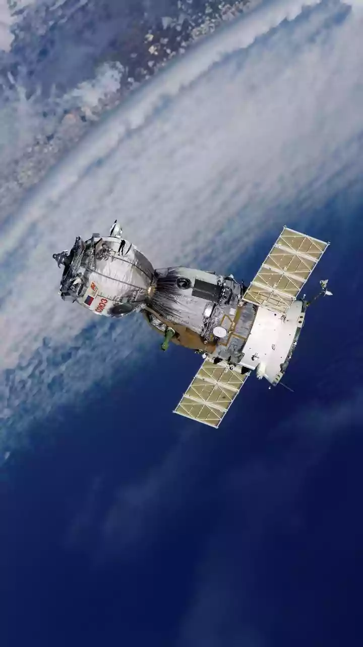
The game-changer is the NASA-ISRO Synthetic Aperture Radar (NISAR) satellite, a collaborative mission that represents a significant leap in Earth observation technology. Launched in mid-2025, this sophisticated satellite is equipped with dual-frequency
radar systems—L-band and S-band—making it the first of its kind. This joint effort combines NASA's expertise in radar technology with ISRO's deep understanding of Earth observation applications tailored for India's specific needs. Orbiting at an altitude of 747 kilometres, NISAR revisits every spot on Earth every 12 days, systematically collecting data to monitor changes in our planet's land and ice surfaces with remarkable precision.
Seeing Through Clouds and Darkness
One of the greatest challenges in monitoring floods, especially during the monsoon season, is persistent cloud cover. Traditional optical satellites are often blinded by clouds, rain, and darkness, rendering them ineffective when they are needed most. This is where NISAR's Synthetic Aperture Radar (SAR) technology excels. SAR is an active sensing system, meaning it sends out its own microwave signals towards the Earth's surface and analyses the returning echoes. These signals can penetrate clouds, fog, and darkness, allowing the satellite to provide clear images of the ground day or night, regardless of the weather. This all-weather capability is crucial for providing timely and reliable information to disaster management authorities during critical flood events.
From High-Resolution Data to Life-Saving Decisions
The data from NISAR is not just about taking pictures; it's about providing actionable intelligence. The dual-frequency radar can detect subtle changes on the Earth's surface, down to less than a centimetre. For flood management, this means scientists can precisely map the extent of inundated areas, even waterlogged soil under dense forest canopies, which was previously difficult to assess. Recent images of the Brahmaputra River during the Assam floods have showcased this power, revealing the river's braided channels and identifying flooded regions with stunning clarity. By analysing this data, authorities can track how a flood is progressing, identify areas at highest risk, estimate damage to crops and infrastructure, and plan more effective rescue and relief operations. The goal is to make this critical data available within hours of a disaster, a significant improvement that can help save lives and property.
A Landmark Partnership for India and the World
The NISAR mission is more than a technological marvel; it's a testament to the power of international collaboration in science. The partnership between NASA and ISRO has been central to the mission's success, bringing together the best of both agencies. While NASA provided the L-band radar and the large reflector antenna, ISRO contributed the S-band radar and the spacecraft itself, along with handling the launch. For India, the data is particularly valuable. ISRO has long used satellite technology for disaster management, but NISAR's capabilities enhance these efforts significantly. The mission's S-band data, which ISRO recently began releasing publicly through its Bhoonidhi portal, is already being used to monitor everything from coastal wetlands to agricultural patterns, directly benefiting resource management in the country.