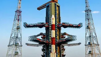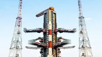







After the thunderous roar of a GSLV rocket fades, the journey for India's latest navigation satellite is far from over. For NVS-03, the real work begins in the silent vacuum of space, involving a series of complex orbital manoeuvres.
The Initial Parking Spot in Space
When the powerful
Geosynchronous Satellite Launch Vehicle (GSLV) completes its mission, it doesn't drop the NVS-03 satellite in its final home. Instead, it injects the 2,250 kg spacecraft into what is known as a Geosynchronous Transfer Orbit (GTO). Think of GTO as a temporary, highly elliptical parking spot in space. This orbit swings the satellite from a point relatively close to Earth (perigee) to one that is very far away (apogee), at an altitude of nearly 36,000 kilometres. The rocket provides the initial brute force to get the satellite to this height, but the path is oval-shaped, not the circular one needed for 24/7 operations. This is a standard and fuel-efficient first step for satellites destined for a geosynchronous orbit.
Climbing the Orbital Ladder
Once in the GTO, the satellite must begin its own journey to its final, circular orbit. This is where the orbital manoeuvres come in. ISRO's mission control initiates a series of precisely calculated engine firings using the satellite's onboard Liquid Apogee Motor (LAM). These firings, often called 'orbit-raising manoeuvres', are performed when the satellite is at its farthest point from Earth, the apogee. Each burn of the LAM engine provides a thrust that pushes the satellite, raising the lowest point of its orbit (the perigee). With each successive manoeuvre, the elliptical orbit becomes more and more circular, and the satellite gets closer to its final operational altitude and position.
Why Not Go Directly?
One might wonder why the powerful GSLV doesn't just place the satellite directly into its final orbit. The reason lies in efficiency and the laws of physics. It would require an enormous amount of propellant for a launch vehicle to perform the entire task of achieving a perfectly circular geosynchronous orbit. It's far more efficient to use the rocket for the heavy lifting into GTO and then let the satellite's smaller, more precise onboard propulsion system handle the final, delicate adjustments. This multi-stage process allows for a heavier satellite to be launched, as the spacecraft itself carries the fuel needed for these final manoeuvres, rather than burdening the rocket with that task from the ground up.
The Mission of NVS_03
These orbital manoeuvres are critical to fulfilling the purpose of NVS_03, which is to augment and strengthen India's indigenous regional navigation system, NavIC (Navigation with Indian Constellation). NVS_03 is a secondndgeneration satellite designed to ensure the continuity and reliability of NavIC services. A key feature is the inclusion of an indigenous rubidium atomic clock, which provides the ultraprecise timing necessary for accurate location data. Failures of imported clocks on earlier satellites made developing this domestic technology a priority. Furthermore, NVS_03 transmits signals in the L1 frequency band, which is widely used in civilian devices, making NavIC more easily accessible on smartphones and wearables.
Strengthening India's SelfReliance
The NavIC system is India's answer to foreignowned systems like the US's GPS. It provides crucial positioning, navigation, and timing services for both civilian and strategic users across India and a region extending 1,500 km beyond its borders. Having a sovereign navigation system is vital for national security, as it guarantees access for military operations and critical infrastructure, which could be denied during geopolitical conflicts. The development of NavIC was spurred by the denial of GPS data during the 1999 Kargil War. The successful deployment of NVS_03 via these careful manoeuvres is another significant step towards 'Atmanirbhar Bharat' in the critical domain of space technology.