



An Eye in the Sky
For decades, the fight against urban flooding was a ground-level affair, reactive and often too late. Municipal teams would scramble to clear drains after the downpour had already begun, fighting a losing battle against rising water. Today, the first
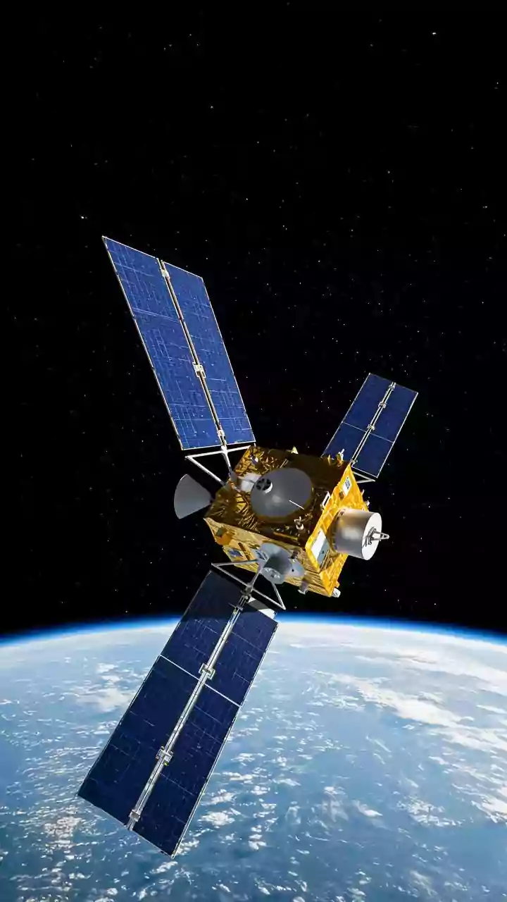
line of defence is now hundreds of kilometres in space. Advanced earth observation satellites, particularly India’s own constellation including the RISAT (Radar Imaging Satellite) and INSAT (Indian National Satellite System) series, provide an unprecedented advantage. Unlike optical satellites, which are blinded by cloud cover, radar satellites like RISAT use Synthetic Aperture Radar (SAR) to penetrate clouds and rain, day or night. This all-weather capability is crucial during the monsoon, enabling authorities to see exactly what’s happening before, during, and after an extreme rainfall event.
From Raw Data to Rainfall Forecast
These satellites don't just take pictures; they gather vast amounts of data on atmospheric conditions. They measure cloud density, moisture content, and wind patterns, feeding this information into sophisticated weather models on the ground. The India Meteorological Department (IMD) and other agencies use this data to generate highly localised and short-term rainfall predictions, a practice known as 'nowcasting'. Instead of a general forecast for an entire city, nowcasting can predict which specific neighbourhoods are likely to receive intense rainfall in the next few hours. In recent years, these models have been enhanced with Artificial Intelligence (AI), which analyses historical patterns and real-time satellite feeds to produce even more accurate, hyperlocal forecasts.
The City's Digital Twin
A precise rainfall forecast is only half the solution. The critical next step is understanding its impact on the ground. This is where the concept of a 'digital twin' comes in. A digital twin is a dynamic virtual model of the city, mapping out its entire drainage network, topography, land use, and even the current state of its drains and rivers. This model integrates high-resolution elevation data, sometimes captured by LiDAR technology, with GIS (Geographic Information System) mapping of every stormwater drain, channel, and outlet. When the satellite-derived rainfall prediction is fed into this digital twin, it can simulate the entire event. The model calculates how much runoff will be generated, how the water will flow through the drainage network, and where the system will be overwhelmed.
Pinpointing Future Choke Points
The simulation’s real power lies in its ability to pinpoint specific vulnerabilities hours before the rain hits. The system can flag the exact locations where drains are likely to overflow, which streets will become waterlogged, the potential depth of the floodwater, and which areas will be inundated the longest. This moves beyond guesswork into data-driven precision. Rather than sending out de-silting crews across the entire city, municipal authorities can target the specific drains and canals that the model has identified as critical choke points for the upcoming storm. This proactive and targeted approach is a game-changer for resource allocation.
Action on the Ground
Armed with this predictive insight, city authorities can launch a preemptive response. They can deploy engineering crews and portable pumps to high-risk zones, clear blockages from critical drains identified by the system, and issue specific, timely warnings to residents in vulnerable low-lying areas. This is already in action in cities like Mumbai and Chennai, which have implemented the Integrated Flood Warning System (IFLOWS). IFLOWS integrates data from rain gauges, weather models, and satellites to provide flood alerts anywhere from six to 72 hours in advance. This gives authorities a crucial window to prepare infrastructure and allows citizens to take protective measures, fundamentally enhancing the city’s resilience to extreme weather.