

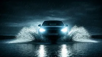


The Romance and Risk of Monsoon Travel
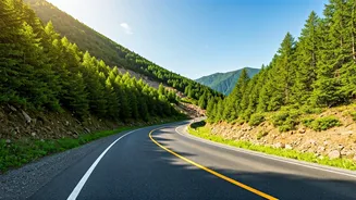
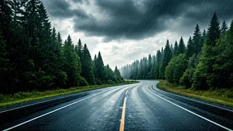
There's a certain romance to hitting the road when the skies open up. The landscape transforms, washed clean and vibrant green. The chai just tastes better at a roadside stall with rain drumming on the tin roof. For many in India, the monsoon is the prime
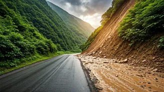
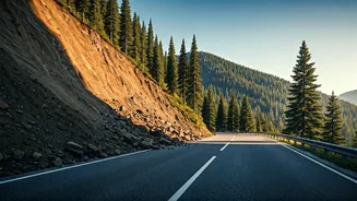
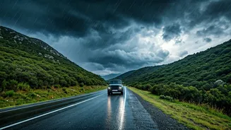
season for getaways to destinations like Lonavala, Coorg, or the hills of Himachal. But this seasonal beauty masks significant dangers. The India Meteorological Department (IMD) and National Disaster Management Authority (NDMA) issue annual warnings for a reason. Reduced visibility from heavy downpours, slick roads causing hydroplaning, and the sudden appearance of massive potholes are common hazards. In hilly regions, the risk escalates dramatically with the threat of flash floods and landslides, which can sever routes and strand travellers for hours or even days.
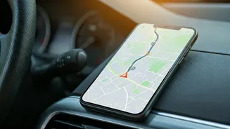
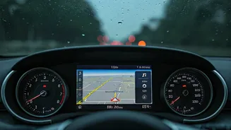
Why Your Standard GPS Isn't Enough
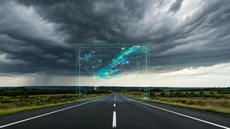
We've all come to rely on navigation apps like Google Maps to guide us. They are brilliant at finding the fastest route based on traffic. But during the monsoon, the biggest danger isn't always traffic; it's the environment itself. A standard GPS route doesn't know that a low-lying bridge a few kilometres ahead is about to be submerged, or that a landslide has just blocked a mountain pass. It reacts to traffic jams after they form, but it can't predict a weather-induced blockage. Relying solely on a pre-planned route without real-time, on-the-ground intelligence is like driving with one eye closed. You see where you're supposed to go, but you're missing the immediate, dynamic context that is crucial for safety.
The Power of a Collective Digital Eye
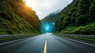
This is where the concept of a shared live map becomes a game-changer. Imagine you're travelling in a convoy of two or three cars. Instead of each driver navigating independently, you use a system where everyone's location is visible on a single map interface. Now, overlay that with a real-time weather radar. Suddenly, you have a powerful, collective intelligence system. The car in front can report a dangerously flooded patch of road, making it instantly visible to the others. If one car gets stuck, their exact location is known to the group. If the weather radar shows an intense pocket of rain moving towards your route, you can collectively decide to pull over or take a detour before you drive into it. This transforms navigation from a solitary activity into a collaborative safety exercise.
How to Build Your Safety Net
Setting this up is easier than you think and uses features already in many popular apps. Google Maps: The 'Share Trip Progress' feature is a simple and effective tool. When you start navigation, tap the '^' symbol at the bottom and select 'Share trip progress'. You can share your live location, route, and ETA with selected contacts. If everyone in your group shares their progress with each other, you've created a basic shared map. Waze: Waze is built on crowdsourced information. Users can actively report hazards like floods, potholes, or accidents, which then appear on the map for other users. By forming a 'Group' within your contacts, you can more easily track each other and share trip details. Dedicated Apps: For more advanced use, apps like Glympse allow for creating private groups where members can see each other's locations on a map for a set period. Combining this with a good weather app that offers a radar widget (like AccuWeather or The Weather Channel) gives you a comprehensive view.
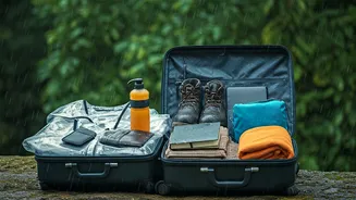
Beyond the Map: Essential Tech
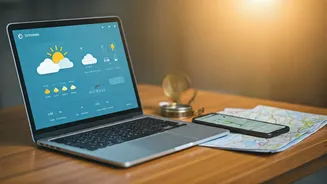
While a shared map is your primary tool, a few other tech essentials can make a world of difference. Always download offline maps for your entire route area before you leave; network connectivity is notoriously unreliable in remote areas, especially during heavy rain. Carry multiple power banks, as running navigation and screen-sharing drains batteries quickly. A car phone holder is non-negotiable for keeping the map visible safely. Finally, ensure everyone has an emergency contact app or feature enabled on their phone, which can send an SOS with a location link at the press of a button. Technology is a tool, and being prepared with the right set of digital aids can be as crucial as checking your tyre pressure before you leave.