







The Challenge of Urban Flooding
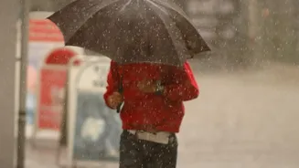
Every year, the monsoon season brings life-giving rains, but in India's concrete jungles, it often brings chaos. Rapid urbanisation, clogged drainage systems, and increasingly erratic weather patterns have turned heavy downpours into recurring urban disasters.
Streets become rivers, homes are inundated, and daily life grinds to a halt. For years, the approach has been reactive — citizens deal with the damage, and civic bodies engage in post-flood clean-up. This cycle of disruption has highlighted a critical need for a proactive solution, one that can warn residents before the water reaches their doorstep.
The Rise of Smart Flood Warning Systems
Enter the urban flood detector. Instead of relying solely on broad rainfall forecasts, cities are now deploying sophisticated networks of sensors to monitor conditions on the ground in real-time. These systems act as a city’s nervous system, sensing trouble spots before they escalate into full-blown crises. Major Indian metropolises, including Mumbai, Chennai, and Bengaluru, have begun implementing these integrated flood warning systems to provide location-specific alerts. These aren't just simple rain gauges; they are complex systems that combine Internet of Things (IoT) sensors, weather models, and artificial intelligence to create a detailed, hyperlocal picture of flood risk.
How the Technology Actually Works
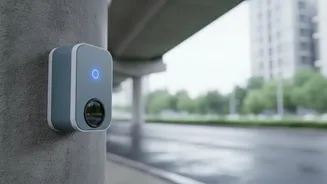
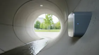
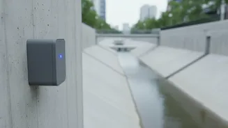
At the heart of these systems are various types of sensors. Water-level sensors, often solar-powered, are installed in critical areas like stormwater drains, rivers, and underpasses. These devices constantly measure the water level and transmit this data wirelessly every few minutes. This information is then fed into a central system, along with data from automatic weather stations, rain gauges, and tide-level monitors. A sophisticated model then crunches all these numbers, considering the city's unique topography, drainage capacity, and land use. By simulating how water will flow, it can predict which specific areas are likely to be inundated. This allows for far greater precision than a general weather alert.
From Data to Your Device
The most crucial part of any warning system is ensuring the alert reaches the people who need it. Once the system identifies a high-risk area, it triggers a multi-channel dissemination process. In Mumbai, the Integrated Flood Warning System (iFLOWS-Mumbai) can provide flood inundation estimates up to three days in advance and specific forecasts for a particular spot up to 12 hours ahead. These alerts are sent to disaster management officials, who then use various channels—including SMS alerts, social media updates, and dedicated mobile apps—to inform residents in the vulnerable localities. In Bengaluru, when a sensor detects that a drain is reaching 75% capacity, an immediate alert is sent to the flood-mitigation control room.
Real-World Impact in Indian Cities
The implementation of these systems is already showing results. Mumbai’s I-FLOWS, a joint initiative of the Ministry of Earth Sciences and the BMC, integrates data from over 165 rain gauges to provide ward-level flood risk assessments. Following its lead, Chennai launched a Real-Time Flood Forecasting and Spatial Decision Support System, making it the first Indian city with such a capability, which includes data from automatic water level recorders and gate sensors. In Bengaluru, a network of over 100 sensors in stormwater drains helps officials dispatch quick response teams more effectively. Most recently, a collaboration involving IIT Bombay is leveraging AI to enable forecasts with a lead time of up to 48 hours, a significant step forward in proactive disaster management.