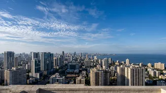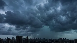







A Tale of Two Months
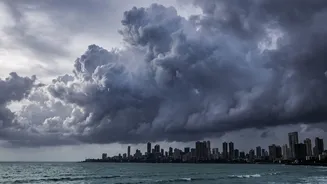
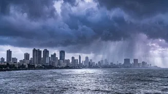
The contrast between July and August 2026 has been stark for Mumbai. After a delayed onset in June, the monsoon roared to life in July, erasing much of the initial deficit with heavy, sustained rainfall. However, August has told a different story. According
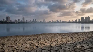
to data from the India Meteorological Department (IMD), rainfall in Mumbai from August 1 to 25 was significantly below the amount received during the same period last year. While the season's total rainfall remains decent thanks to the July deluge, the current 'break' phase has been prolonged and pronounced, leading to higher temperatures and humidity. Forecasts for the rest of the week indicate continued light to moderate rain, a far cry from the intense spells typical for this time of year.
The Weakened Offshore Trough
One of the primary drivers of heavy monsoon rain along the West Coast, including Mumbai, is a weather system known as an offshore trough. This is an elongated area of low pressure that forms over the Arabian Sea, running parallel to the coast. It acts like a pipeline, pulling strong, moisture-laden westerly winds from the sea onto the land, resulting in significant rainfall. Meteorologists have pointed to the weakening or absence of this trough as a key reason for the current slowdown. Without a strong trough to anchor the monsoon flow, the winds lose their intensity, and the mechanism that forces moisture to rise and form rain clouds over the coast is diminished.
The El Niño Effect
Looking at the bigger picture, a major global climate pattern is also at play: El Niño. This phenomenon involves the warming of sea surface temperatures in the equatorial Pacific Ocean and is known to have a suppressing effect on the Indian monsoon. For 2026, the IMD and other global agencies have noted the development of moderate El Niño conditions, which are expected to strengthen. El Niño disrupts large-scale atmospheric circulation, which can lead to weaker monsoon winds and longer dry spells, or 'breaks', across the Indian subcontinent. While July saw other weather systems temporarily overpower El Niño's influence, its effect is now being felt more strongly in August, contributing to the nationwide rainfall deficit.
Absence of Supporting Systems
A powerful monsoon requires a combination of favourable factors working in concert. Beyond the offshore trough, other systems like low-pressure areas or cyclonic circulations that form over the Bay of Bengal are crucial. These systems travel across central India, strengthening the overall monsoon current, including its Arabian Sea branch that affects Mumbai. In recent weeks, there has been a distinct lack of such potent systems developing and moving in a way that would invigorate the monsoon over Maharashtra. This absence of supporting weather patterns has allowed drier, more stable atmospheric conditions to prevail, further contributing to the subdued rainfall.
What Does This Mean for the City?
While the current dip in rainfall has provided a respite from flooding and transport disruptions, it also raises concerns, particularly regarding water supply. Mumbai relies on a network of lakes that are replenished by monsoon rains. Thanks to the heavy showers in July, the water levels in these lakes are in a relatively comfortable position. However, a prolonged dry spell through the remainder of the season could impact the final storage levels. The IMD had forecast a 'below normal' August for many parts of the country, and the current situation aligns with that prediction. The focus now shifts to September, with residents and officials hoping for a late-season revival to ensure the city's water security for the coming year.