





Eyes in the Sky: A New Perspective
For decades, forecasting the monsoon was a complex puzzle with many missing pieces. Today, the Indian Space Research Organisation (ISRO) provides a crucial top-down view with its fleet of advanced meteorological satellites. Hovering 36,000 kilometres
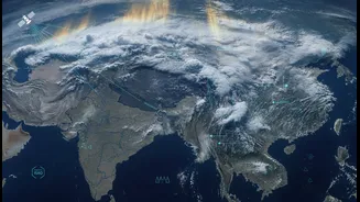
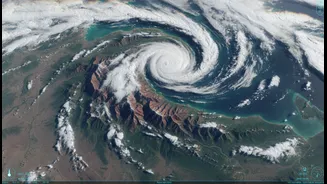
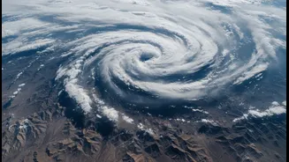
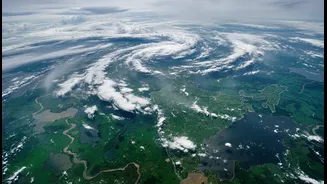
above the Earth, satellites like INSAT-3D, INSAT-3DR, and the recently launched INSAT-3DS operate in geostationary orbit. This means they stay positioned over the Indian subcontinent, acting as tireless sentinels. In collaboration with the India Meteorological Department (IMD), these satellites provide a constant stream of high-resolution imagery and data, fundamentally changing how we track weather systems. Instead of just seeing cloud cover, these instruments provide multi-layered insights into the atmosphere, making the invisible forces driving the monsoon visible.
Seeing the Monsoon in High Definition
What makes this new view so much more useful is the level of detail it provides. ISRO's satellites are equipped with sophisticated imagers and sounders that capture data across multiple spectral channels—from visible light to infrared and water vapour bands. This allows meteorologists to see far more than just clouds. The infrared imagery, for instance, can indicate the temperature of cloud tops; extremely cold and bright white clouds often signal deep convection and the potential for very heavy rainfall. The atmospheric sounder on INSAT-3DR provides vertical profiles of temperature and humidity at different altitudes, offering a three-dimensional understanding of the atmospheric conditions that fuel monsoon systems. These satellites can even help distinguish between snow and clouds, and their rapid-scan capabilities allow for images as frequently as every 15 minutes, enabling near real-time tracking of fast-developing weather events.
From Data to Daily Forecasts
Gathering this vast amount of data is only half the battle. The real magic happens when this information is processed and turned into actionable forecasts. ISRO's ground stations receive a torrent of data—INSAT-3DR alone can transmit around 142 GB per day—which is then fed into powerful computational models at the IMD. These numerical weather prediction models assimilate the satellite data with information from ground-based weather stations and ocean buoys. This combination has dramatically improved the accuracy of short to medium-range forecasts by as much as 20-30%. The visual outputs, like colourful maps showing cloud formation, wind patterns, and areas of intense rainfall, are what we often see in news reports. These visualisations aren't just for show; they are powerful tools that help forecasters communicate complex weather situations clearly and effectively to the public and disaster management agencies.
Real-World Impact on the Ground
The ultimate goal of this technology is to protect lives and livelihoods. For India’s agricultural sector, which is heavily dependent on the monsoon, these improved forecasts are a game-changer. Precise information on the monsoon's arrival allows farmers to better time their planting schedules. Real-time data on rainfall intensity and distribution helps in managing irrigation and anticipating floods or droughts. Beyond agriculture, this satellite-driven forecasting is crucial for disaster management. Early and accurate warnings for cyclones, intense rainfall, and potential flooding give authorities valuable lead time to prepare and evacuate communities, significantly reducing economic losses and casualties. From fishermen receiving warnings about rough seas to urban planners preparing for waterlogging, the detailed view from space has a tangible impact on the safety and resilience of millions across the country.