



A Landmark Collaboration in the Sky
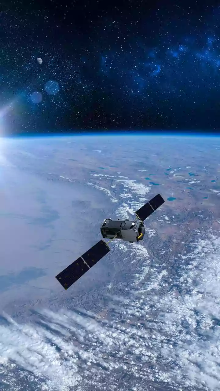
The NISAR mission is a powerful partnership between the Indian Space Research Organisation (ISRO) and the U.S. National Aeronautics and Space Administration (NASA). Launched in July 2025, this Earth-observation satellite is the first of its kind, equipped
with two different radar frequencies, L-band and S-band, to map our planet. ISRO provided the S-band radar, the spacecraft itself, and the launch vehicle, while NASA contributed the L-band radar and other sophisticated systems. The mission's goal is to systematically scan nearly all of Earth's land and ice surfaces every 12 days, providing an unprecedented, dynamic view of how our world is changing. The data it gathers is made freely and openly available, empowering scientists, governments, and the public.
The Power of Seeing Through Clouds
Unlike optical satellites that need clear skies and daylight, NISAR uses Synthetic Aperture Radar (SAR). This technology sends microwave signals down to Earth and captures the echoes that bounce back. Because radar can penetrate clouds, rain, and darkness, it can monitor the planet continuously, day or night, in any weather. NISAR’s unique dual-frequency system is its superpower. The longer L-band waves can penetrate deeper, even through dense forest canopies, while the shorter S-band waves are excellent for observing things like crop growth and soil moisture near the surface. This allows the satellite to measure changes on the Earth’s surface with incredible precision, down to a single centimeter.
Peering Beneath the Surface for Water
For a country like India, where groundwater is a lifeline for agriculture and drinking water, managing aquifers is critical. Over-extraction can cause the ground level to sink, a phenomenon called subsidence, which can permanently damage the aquifer's ability to store water. This is where NISAR provides a revolutionary capability. By repeatedly mapping the same area, its radar can detect tiny changes in the land surface elevation. A sinking surface is a strong indicator of groundwater depletion. NISAR can systematically map these changes across entire aquifer systems, something previously only possible through a limited number of ground wells. This allows authorities to indirectly measure how much groundwater is being pumped and recharged, offering a powerful tool for sustainable water management in drought-prone regions.
A New Guardian for India's Forests
India's forests are vital ecosystems, and monitoring their health is a national priority. NISAR’s dual-band radar provides a comprehensive look at these green assets. The L-band radar is particularly effective at penetrating forest canopies to measure the structure and density of the forest, often referred to as biomass. It can also detect water on the forest floor, even under thick tree cover, which is crucial for understanding wetland ecosystems and identifying flood-prone areas. Studies using NISAR data, like one in Uttarakhand's Jhilmil Jheel wetland, have shown how L-band radar can make water-logged forests stand out brightly in images, revealing conditions invisible to optical cameras. By tracking changes in forest cover and biomass over time, NISAR helps in the fight against deforestation and provides invaluable data for climate change research.
Beyond Water and Woods
The applications of NISAR’s data extend far beyond just aquifers and forests. The satellite’s ability to detect minute surface movements makes it a critical tool for disaster management, helping to monitor landslide-prone areas, volcanic activity, and ground shifts before and after earthquakes. It can also be used for agricultural monitoring, helping to assess crop health and soil moisture, which is vital for food security. As it continues its mission, circling the Earth every 12 days, NISAR is building a rich, detailed, and freely accessible dataset that will help India manage its resources, prepare for natural hazards, and build a more sustainable future for decades to come.