


A Bird's-Eye View in the Critical Hours
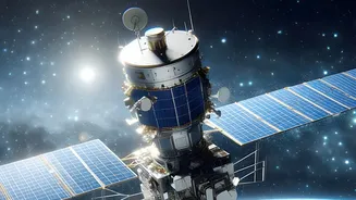
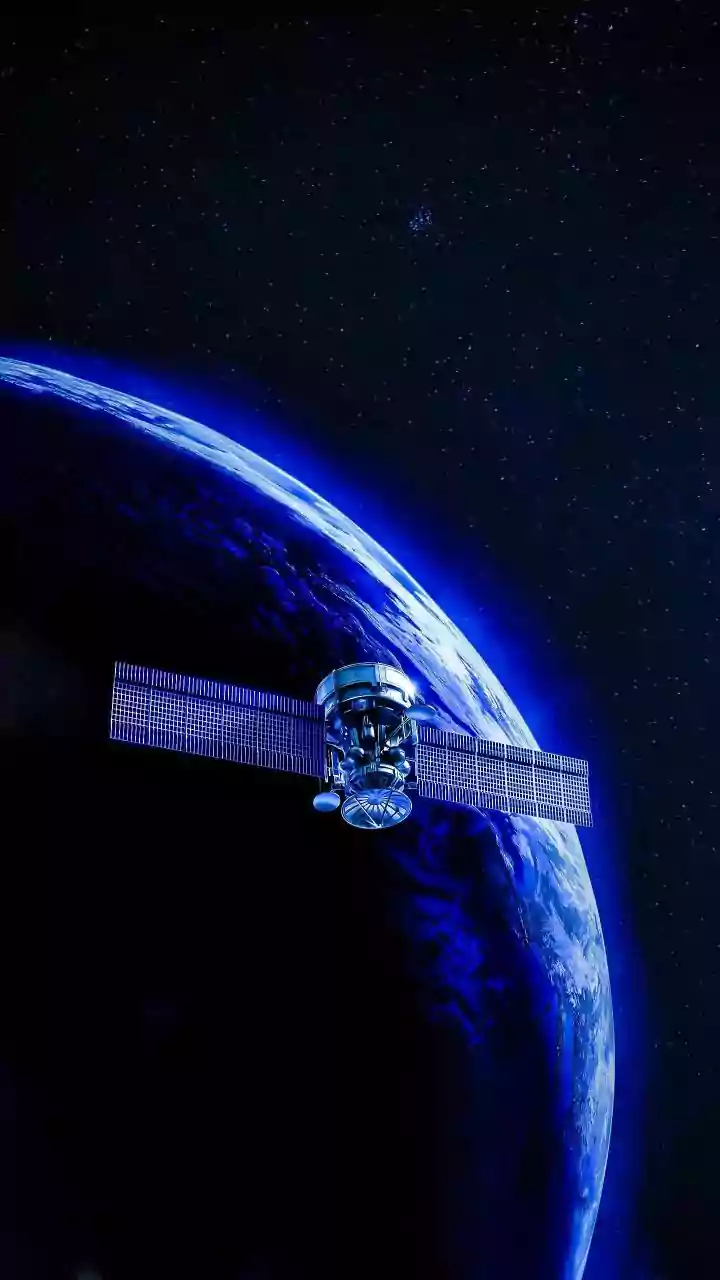
In the immediate aftermath of a disaster like a flood, earthquake, or cyclone, ground-based information is often scarce and unreliable. Roads may be impassable, power lines down, and communication networks disrupted. This is where satellite technology
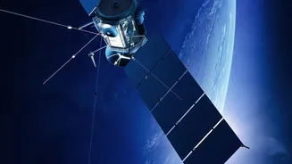
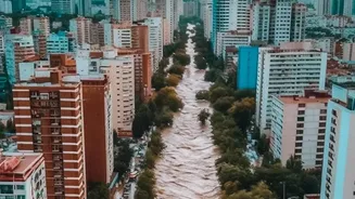
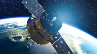
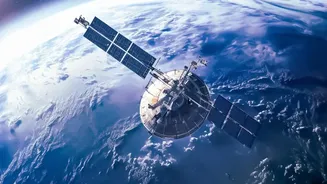
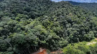
provides its most crucial advantage: a rapid, large-scale assessment of the situation. Satellites can capture images of vast, inaccessible areas, allowing authorities to see the full extent of the damage. By comparing 'before' and 'after' images, emergency managers can quickly identify the worst-hit regions, map the boundaries of floods or wildfires, and locate damaged infrastructure like bridges and hospitals. This bird's-eye view is fundamental for prioritising rescue operations and allocating resources efficiently.
Seeing Through Clouds, Smoke, and Darkness
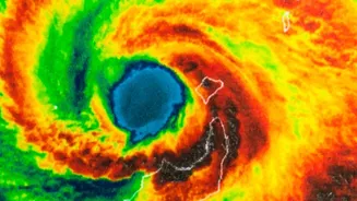
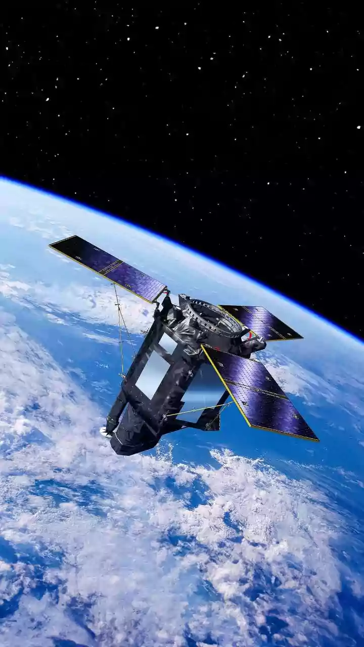
Not all satellite data is the same. While optical satellites capture images much like a regular camera, they are often limited by cloud cover, smoke, or darkness—conditions that frequently accompany natural disasters. This is why another technology, Synthetic Aperture Radar (SAR), is a game-changer. SAR satellites actively send microwave pulses to the Earth's surface and measure the returning signal. This allows them to 'see' through clouds, heavy rain, and at night. For events like floods and cyclones, which are typically obscured by cloud cover, SAR data is invaluable for mapping the extent of inundation and assessing damage in all weather conditions. This all-weather capability ensures that response teams receive a continuous flow of information, regardless of local conditions on the ground.
The Role of AI in Making Data Actionable
Raw satellite images alone are not enough; they must be analysed quickly to provide actionable insights. This is where Artificial Intelligence (AI) and machine learning are revolutionising disaster response. AI algorithms can sift through terabytes of data in minutes, a task that would take human analysts days. These systems are trained to automatically detect changes, such as collapsed buildings after an earthquake, flooded neighbourhoods, or the spread of a wildfire. By flagging these changes, AI helps create damage assessment maps with incredible speed and accuracy. Some new frameworks even allow satellites to process images directly in orbit, sending down only the most critical information and further speeding up response times. This rapid analysis enables officials to make life-saving decisions faster than ever before.
Supporting Every Phase of Disaster Management
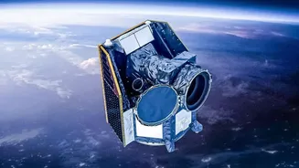
Satellite-based maps are not just for the immediate response. Their utility extends across the entire disaster management cycle. Before a disaster, satellite data helps in risk assessment by identifying vulnerable areas like floodplains or landslide-prone slopes. This information is used to create hazard maps and plan evacuation routes. In India, organisations like the Indian Space Research Organisation (ISRO) use satellites such as the INSAT and RISAT series to monitor conditions that could lead to droughts, floods, or cyclones, providing crucial early warnings. During a disaster, they offer real-time monitoring. After the event, satellite imagery helps in planning long-term recovery and reconstruction by assessing the full scale of damage and monitoring the rebuilding process. ISRO's Disaster Management Support Programme provides this vital data to national and state authorities, playing a key role in the country's resilience efforts.
Challenges and the Path Forward
Despite its immense value, the use of satellite imagery is not without challenges. The availability of high-resolution images can be limited, and the cost can be high. Furthermore, access to data from privately-owned satellites isn't always guaranteed, which can create dangerous gaps in information during an emergency. Technical limitations can also lead to an underestimation of damage. However, the technology is constantly evolving. International collaborations like the International Charter 'Space and Major Disasters' aim to provide free satellite imagery to support disaster response globally. As AI models become more sophisticated and more satellites are launched, the ability to generate timely, accurate, and accessible maps will only improve, making this technology an increasingly indispensable tool for protecting communities in India and around the world.