




An Eye in the Sky
India's agricultural sector, which employs nearly half the workforce, is increasingly vulnerable to extreme weather events like floods and droughts. Traditional methods of managing farms and responding to disasters are often too slow for the rapid changes
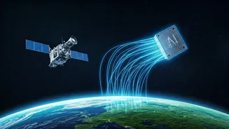
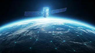
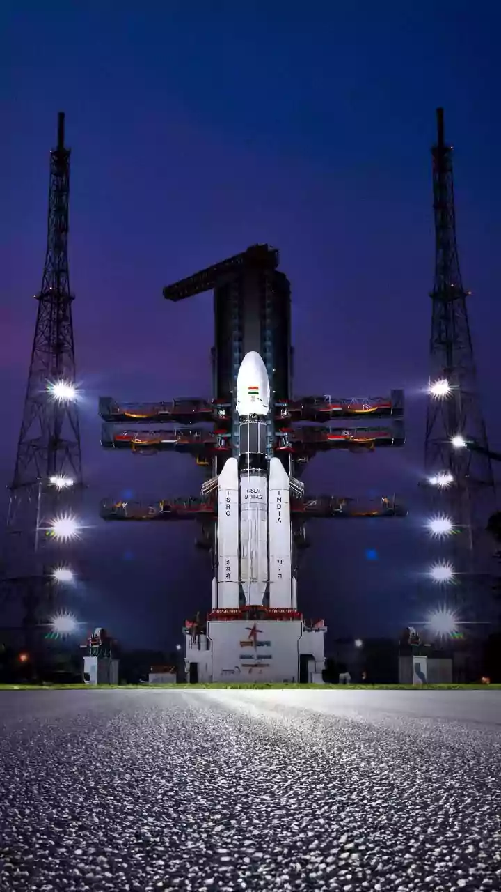
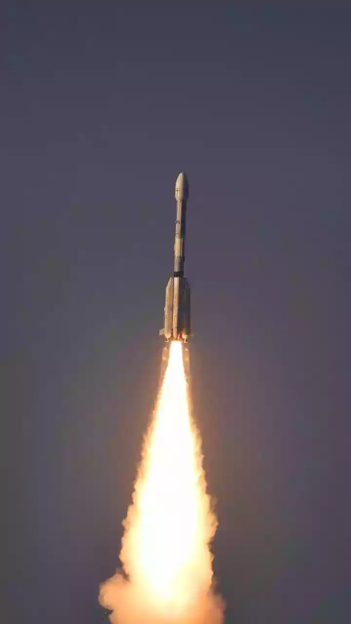
brought on by a warming planet. This is where satellite technology, spearheaded by the Indian Space Research Organisation (ISRO), has become a game-changer. A fleet of advanced Earth observation satellites acts as a constant, synoptic eye, providing data that is revolutionizing how the nation prepares for and responds to climate-related challenges. This technology is no longer science fiction; it is a fundamental tool for national resilience.
Taming the Floods
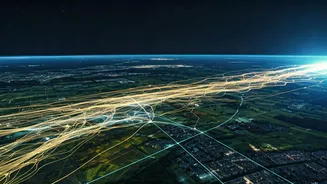
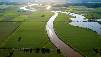
India is one of the world's most flood-prone countries, with disasters causing immense economic and human loss annually. Satellites provide a critical advantage in flood management. Before a storm, meteorological satellites like INSAT-3DR and INSAT-3DS help predict heavy rainfall and cyclone formation. As the event unfolds, radar satellites, which can see through clouds, and optical satellites map the extent of inundation in near real-time. These maps, disseminated through portals like Bhuvan and the National Database for Emergency Management (NDEM), are invaluable for disaster response teams. They allow authorities to identify cut-off villages, plan rescue routes, and direct relief efforts to the worst-affected areas, saving countless lives.
A Digital Revolution for Farmers
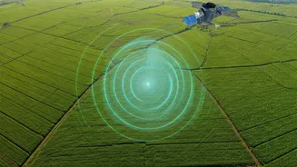
On the agricultural front, satellite data is quietly fostering a new green revolution. With millions of small farms, getting an accurate, nationwide picture of crop health has always been a massive challenge. Satellites solve this by providing data on everything from soil moisture to plant health across vast areas. Programmes like FASAL (Forecasting Agricultural output using Space, Agro-meteorology and Land based observations) use this information to generate pre-harvest production estimates for major crops like rice and wheat. This helps in managing food stocks and anticipating market trends. For individual farmers, this data translates into practical advice on when to irrigate, detect pest attacks early, and track crop growth, often delivered through mobile apps.
Securing Crops and Livelihoods
The use of satellite data extends to financial security for farmers through the Pradhan Mantri Fasal Bima Yojana (PMFBY), India's flagship crop insurance scheme. Previously, assessing crop damage for insurance claims was a slow, manual process. Now, satellite imagery is used to verify damage more quickly and transparently, leading to faster payouts for farmers who have lost their crops to natural disasters. This technology, part of a system called YESTech (Yield Estimation System using Technology), reduces disputes and ensures that aid reaches farmers when they need it most, enhancing the credibility and efficiency of the entire insurance program.