





India's Eyes in the Sky
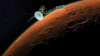
The Indian Space Research Organisation (ISRO) is at the heart of this transformation, deploying a fleet of advanced remote-sensing satellites. Spacecraft like those in the Resourcesat and RISAT series are designed specifically for agricultural observation.
These satellites pass over Indian farmland, capturing detailed images that reveal far more than the naked eye can see. Some use multispectral imaging to analyse how crops reflect light, which is a key indicator of health. Others, like RISAT (Radar Imaging Satellite), use Synthetic Aperture Radar (SAR) which has the powerful ability to see through clouds, making it invaluable for monitoring crops like paddy during the crucial monsoon season. This constant stream of data forms the backbone of nationwide agricultural monitoring.
From Pixels to Policy
The raw data from space is translated into actionable insights by agencies like the Mahalanobis National Crop Forecast Centre (MNCFC). Established to apply space technology to agriculture, the MNCFC uses satellite imagery for a range of critical tasks. Under the FASAL (Forecasting Agricultural output using Space, Agro-meteorology and Land-based observations) programme, it generates pre-harvest production forecasts for major crops like rice, wheat, and sugarcane across the country. By analysing satellite data, scientists can create detailed maps showing crop conditions, measure soil moisture levels, and monitor the impact of droughts or floods. This information is vital for government bodies to make informed policy decisions regarding food security, storage, and distribution.
A Safety Net for Farmers
Perhaps one of the most significant impacts of satellite technology is on crop insurance. The Pradhan Mantri Fasal Bima Yojana (PMFBY), India's flagship crop insurance scheme, heavily relies on this technology for faster and more accurate claim settlements. Traditionally, assessing crop damage over vast areas was a slow and often contentious process. Now, satellite data helps pinpoint areas affected by calamities like floods or hailstorms, assess the extent of the damage, and resolve disputes over claims more efficiently. An initiative called YESTECH (Yield Estimation System based on Technology) uses satellite-based models to estimate yields at the Gram Panchayat level, ensuring that insurance payouts are more precise and timely.
Smarter Decisions on the Ground
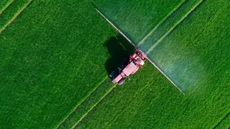
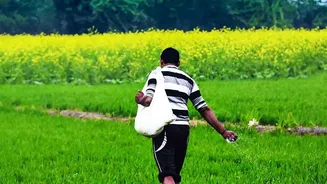
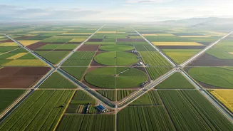
The benefits of satellite data are trickling down to individual farmers, enabling a shift towards precision agriculture. By analysing images, experts can identify specific patches in a field that are suffering from water stress, nutrient deficiency, or pest attacks. This allows for the targeted application of water, fertilizers, and pesticides, a practice known as variable-rate application. This not only helps farmers save on input costs but also improves crop yields and minimises environmental impact. Government platforms like the Krishi Decision Support System (Krishi-DSS) integrate this satellite data with weather forecasts and soil information to provide farmers with real-time, actionable advice through mobile apps.
Challenges and the Road Ahead
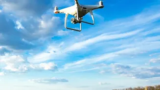
Despite the immense potential, challenges remain. Making complex satellite data easily understandable and accessible to smallholder farmers, who form the majority of India's farming population, is a significant hurdle. Inconsistent digital literacy and infrastructure in rural areas can limit adoption. Furthermore, optical satellite data can be hindered by cloud cover, and all remote data requires on-the-ground verification to ensure accuracy. The future lies in integrating satellite imagery with other technologies like drones, IoT sensors, and Artificial Intelligence (AI) to create an even more detailed and responsive agricultural monitoring system. The upcoming NASA-ISRO Synthetic Aperture Radar (NISAR) mission, for instance, promises to deliver high-resolution soil moisture data every 12 days, further enhancing these capabilities.