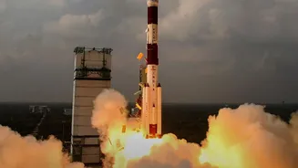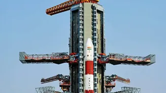









India's homegrown navigation system, NavIC, is a cornerstone of its strategic autonomy. The successful launch and orbital placement of the NVS-03 satellite was not just another mission, but a crucial step to secure the system's future.
What is NavIC?
Navigation with
Indian Constellation (NavIC) is the operational name for the Indian Regional Navigation Satellite System (IRNSS). Developed by the Indian Space Research Organisation (ISRO), it is India’s autonomous regional satellite navigation system, often described as the country's answer to the US-owned Global Positioning System (GPS). Unlike GPS, which has global coverage, NavIC is designed to provide accurate positioning, navigation, and timing services for India and a region extending approximately 1,500 kilometres beyond its borders. The system was conceived to grant India strategic independence, a need highlighted during the 1999 Kargil conflict when access to foreign-operated GPS data was reportedly restricted. NavIC supports both civilian uses, such as vehicle tracking and disaster management, and restricted, encrypted services for military and strategic applications.
A Constellation in Need of Rescue
By 2026, India's ambitious NavIC system was facing a serious challenge. The original constellation of first-generation satellites was crippled by repeated failures of their imported rubidium atomic clocks—the ultra-precise timekeepers essential for navigation accuracy. Even a minuscule timing error can lead to significant location inaccuracies on the ground. Due to these failures, the number of fully functional satellites had dropped below the minimum of four required to provide standalone positioning services. This meant that NavIC, for a time, could not fulfill its primary function independently, creating a critical gap in a strategic national asset. A previous attempt to launch a replacement, NVS-02, had also failed to reach its intended orbit, increasing the pressure on the next mission.
Enter NVS-03: A New Generation Satellite
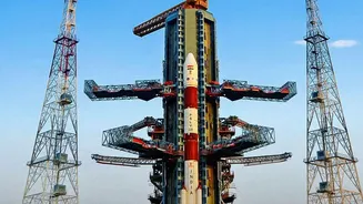
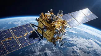
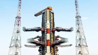
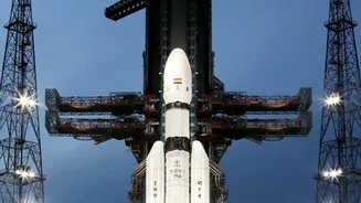
The NVS-03 satellite, launched aboard a GSLV-F18 rocket, was part of ISRO's second generation of navigation satellites, designed specifically to replenish and modernize the NavIC system. Weighing around 2,250 kg, the satellite carried two crucial upgrades. First, it was equipped with an indigenously developed rubidium atomic clock. This was a major step towards self-reliance, reducing dependence on the imported clocks that had plagued the first-generation satellites. Second, NVS-03 introduced a new civilian L1 frequency band, in addition to the existing L5 and S bands. The L1 band is the most widely used frequency for civilian navigation services globally, making NavIC signals more compatible with commercial receivers and consumer devices like smartphones.
The Crucial Orbital Path
For NVS_03, the launch was only the first step; reaching its 'intended orbit' was everything. The GSLV rocket first placed the satellite into a Geosynchronous Transfer Orbit (GTO), a highly elliptical path around the Earth. From there, the satellite had to use its own onboard liquid apogee motor (LAM) to perform a series of complex orbit_raising manoeuvres. These carefully calculated engine burns circularised its orbit and guided it to a precise spot in a Geosynchronous Orbit (GSO) at an altitude of nearly 36,000 kilometres. Only from this fixed position relative to the Earth's surface can the satellite provide continuous coverage to the designated service area. A failure to complete these manoeuvres, as happened with a previous satellite, would have rendered the mission a failure despite a successful launch. The success of these orbital manoeuvres was non_negotiable for NVS_03 to join and strengthen the NavIC constellation.
The Stakes for India's Self Reliance
The successful placement of NVS_03 into its operational orbit was a significant victory for ISRO and India. It immediately brought the NavIC constellation back to its minimum operational strength, restoring its ability to provide independent positioning services. Beyond just a technical fix, the mission validated India's capability to build its own critical satellite components, like the atomic clock, enhancing the system's long term reliability and furthering the 'Atmanirbhar Bharat' initiative. For the armed forces, a robust and independent NavIC means greater operational control and security without reliance on foreign systems, which could be denied or degraded during a conflict. The addition of the L1 band also paved the way for wider civilian adoption, promising to bring India's own navigation system into the daily lives of its citizens.