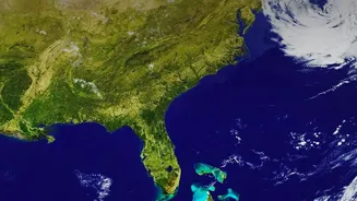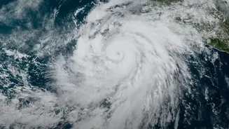


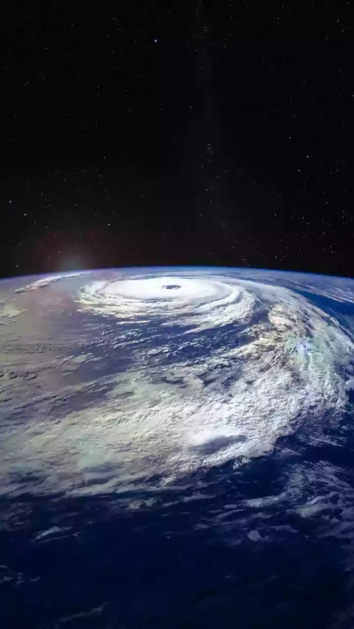
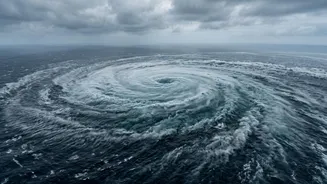


From the Bay of Bengal to the Arabian Sea, cyclones are a familiar threat. But scientists are finding that these massive storms are changing, with many growing stronger and more destructive due to our warming climate. Here’s a look at the science.
The Engine of a Cyclone
Think
of a tropical cyclone as a colossal heat engine. It forms over warm tropical waters, where sea surface temperatures are above 26.5°C. This warm water evaporates, pumping huge amounts of moisture and energy into the atmosphere. As this warm, moist air rises, it condenses into clouds, releasing latent heat. This process warms the surrounding air, causing it to rise even faster and lowering the pressure at the surface. This drop in pressure sucks in more air, creating a self-sustaining, rotating system of powerful winds and thunderstorms.
Warmer Oceans Provide More Fuel
The single most important factor for cyclone intensity is the heat stored in the upper ocean. As human-induced climate change warms the planet, the oceans absorb the vast majority of this excess heat. Warmer oceans act like high-octane fuel for a cyclone. The higher the sea surface temperature, the more energy is available for the storm to draw from. This doesn't necessarily mean more cyclones will form each year, but it raises the 'speed limit' for how powerful a storm can become. Research shows that the proportion of high-intensity cyclones (Category 4 and 5) has been increasing, and this trend is projected to continue.
A Wetter Atmosphere Means Heavier Rain
A warmer atmosphere can hold more moisture. For every degree Celsius of warming, the air can hold about 7% more water vapour. When a cyclone forms in this warmer, wetter environment, it carries a much heavier payload of water. This leads to significantly more intense rainfall when the storm makes landfall, dramatically increasing the risk of catastrophic flooding, landslides, and waterlogging far inland. A recent study on Cyclone Arnab, which struck India's east coast, found that climate change intensified its rainfall rate by about 11%.
The Danger of Rapid Intensification
One of the most alarming trends researchers are observing is an increase in 'rapid intensification'. This is when a cyclone's maximum sustained winds increase dramatically in a short period, often by 55 km/h or more in just 24 hours. This phenomenon is strongly linked to passing over areas with very warm ocean waters that extend deep below the surface. Rapid intensification makes storms exceptionally dangerous because it leaves coastal communities with much less time to prepare and evacuate. Studies now show that these events are becoming more frequent globally, a trend that has been linked to anthropogenic warming. The recent back-to-back cyclones Arnab and Murasu on India's east coast highlighted this threat, with Arnab undergoing rapid intensification before its destructive landfall.
What This Means for India
With its long and densely populated coastline, India is particularly vulnerable to these strengthening storms. The Bay of Bengal, naturally a very active cyclone basin, and a warming Arabian Sea are seeing conditions become more favourable for intense cyclones. A recent study attributed a significant portion of the economic damage from Cyclone Arnab directly to climate change, estimating that the damage was 33% higher than it would have been in a preindustrial climate. The impact is not just stronger winds, but also more devastating storm surges, which are amplified by rising sea levels. As storms carry more rain and maintain their strength longer, inland flooding is becoming an even greater threat.