





What is Monsoon Withdrawal?
The monsoon withdrawal is not like flipping a switch. Instead of an abrupt end to the rains, it's a slow, phased retreat of the moisture-laden southwesterly winds that define the season. The process is declared by the India Meteorological Department (IMD)
based on specific criteria. These include the cessation of rainfall for five continuous days, a drop in moisture levels, and the establishment of an anticyclone—a high-pressure system—in the lower atmosphere over a region. This entire process is gradual, taking about five to six weeks to move from the northwestern parts of the country completely down to the southern tip. This means that while one part of India is experiencing dry, post-monsoon weather, another can still be in the midst of active rainfall.
The Starting Point: Northwest India
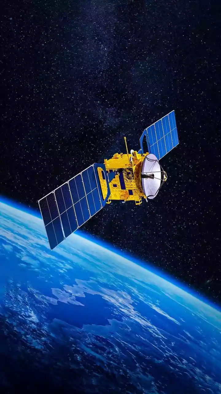
The withdrawal always begins from the extreme northwestern corner of the country, typically over West Rajasthan. As the landmass starts to cool faster than the ocean in autumn, the pressure systems that pull the monsoon winds inland begin to weaken there first. While satellite imagery on September 8, 2026, shows strikingly clear and cloud-free skies over northwest and central India, the official withdrawal is still pending. Forecast models suggest that conditions will become favourable for the retreat to commence after September 15. The normal date for withdrawal to begin from West Rajasthan has historically been cited as around September 17, although some sources place the long-term normal date as early as September 1. The IMD does not attempt a withdrawal before September 1 each year.
A Split Weather Personality for September
The withdrawal process creates a fascinatingly divided weather map for India during September and October. As the monsoon retreats from the north, states like Rajasthan, Punjab, Haryana, and eventually Delhi will see a significant reduction in rainfall. Clearer skies and a drop in humidity become the norm, though this can also lead to a temporary rise in daytime temperatures, a phenomenon sometimes referred to as "October Heat". At the same time, the southern and eastern parts of the country remain under the monsoon's influence for much longer. The withdrawal line progressively moves southeast, reaching the southern peninsula only around mid-October or later.
An Active South and East
For Peninsular India, the end of the southwest monsoon doesn't mean the end of rain. In fact, the withdrawal period can be an active and sometimes severe weather season. The retreating monsoon winds pass over the warm Bay of Bengal, picking up moisture. This can lead to significant rainfall for states like Tamil Nadu and coastal Andhra Pradesh, which receive a large portion of their annual precipitation during this time, often called the Northeast or winter monsoon. This period is also notorious for the formation of tropical cyclones in the Bay of Bengal, which can bring devastating winds and heavy rainfall to the eastern coast. Even as the southwest monsoon officially retreats, low-pressure systems can keep rainfall active over central and southern India.
What to Expect in 2026
The 2026 monsoon season has been marked by erratic behaviour, and its withdrawal phase is expected to be no different. Some forecasts earlier in the year suggested the possibility of a near-normal or even early withdrawal due to a developing El Niño, which tends to suppress monsoon activity. Current IMD reports from early September 2026 indicate that while heavy rain continues in some parts of central and northwest India, subdued rainfall is expected over Peninsular India for the following week. Forecasters predict that a "monsoon withdrawal anticyclone" could form over northwest India around mid-September, signalling that an organised retreat is beginning. However, the process can stall or even temporarily reverse if new weather systems develop, making it a dynamic and unpredictable period.