






Decoding GRITSS
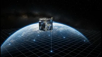
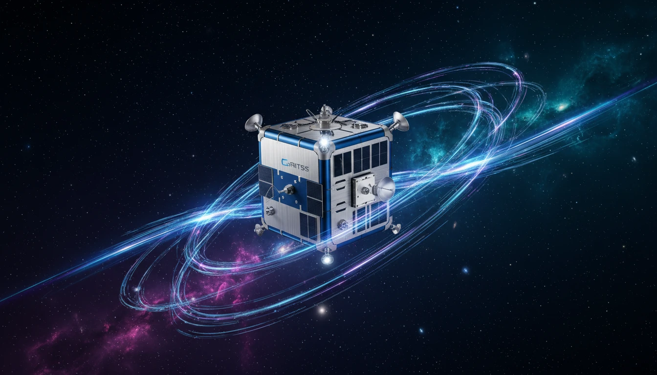
The latest buzz in Earth science revolves around a suitcase-sized satellite with a cumbersome name: the Geodetic Reference Instrument Transponder for Small Satellites, or GRITSS. At its core, GRITSS is a technology demonstration mission designed to solve
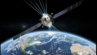
a fundamental problem that has long challenged scientists. Researchers rely on a global system called the International Terrestrial Reference Frame (ITRF) to track everything from sea-level rise to the drift of continents. This frame is built by combining data from three different ground-based techniques: GNSS (like the GPS in your phone), Satellite Laser Ranging (SLR), and Very Long Baseline Interferometry (VLBI), which uses radio telescopes. The issue is that linking these separate systems introduces tiny, millimetre-scale errors. GRITSS is designed to eliminate these errors by acting as a single, unified reference point in space that all three systems can observe simultaneously, effectively calibrating them against each other.
A Major Leap Forward in Orbit
The 'boost' for NASA's observation plans comes from the successful launch of the GRITSS CubeSat on July 7, 2026, aboard a SpaceX Falcon 9 rocket. This launch marked the start of the satellite's mission in low-Earth orbit, a culmination of years of collaborative work between NASA, the University of Massachusetts Lowell, and the Dutch small-satellite manufacturer ISISPACE. The satellite is a marvel of miniaturisation. It carries a modified GPS receiver that converts signals into frequencies that radio telescopes on the ground can read, along with a laser retroreflector to bounce back signals from laser ranging stations. By broadcasting these synchronised signals, GRITSS creates a direct, space-based tie between the different ground networks, a feat that promises to improve the accuracy of the global reference frame by a factor of up to 100.
A Clearer Picture of Our Planet
Achieving millimetre-level accuracy in the ITRF is not just an academic exercise; it has profound implications for understanding our changing world. A more precise global grid is essential for tracking the subtle but critical signals of climate change. This includes measuring the melting of ice sheets in Greenland and Antarctica, monitoring changes in global sea levels, and even assessing shifts in water resources stored in underground aquifers. By providing a more stable and accurate baseline, GRITSS will enhance the data from other major Earth science missions that study phenomena like the El Niño climate cycle. It paves the way for future satellite constellations that can track the planet's shape, the movement of its continents, and the distribution of freshwater with unprecedented detail.
Why It Matters for India
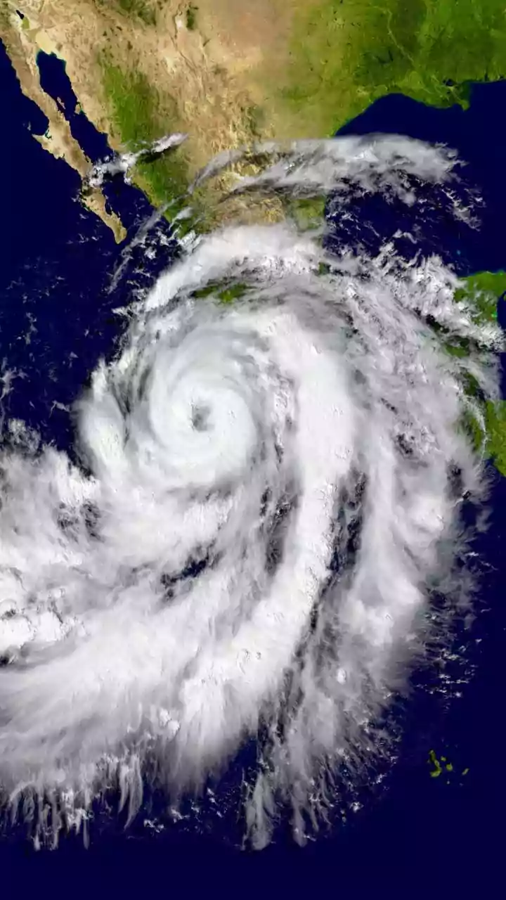
While GRITSS is a NASA-led mission, its benefits are inherently global and hold significant relevance for India. A more accurate terrestrial reference frame improves the foundation upon which all geospatial data rests. For a nation like India, which heavily relies on satellite data for critical applications, this is a significant step forward. Better foundational data can enhance the accuracy of weather models, leading to more reliable monsoon predictions—a cornerstone of the nation’s agricultural economy. It can also improve the tracking of cyclones forming in the Bay of Bengal and the Arabian Sea, providing more precise warnings to coastal communities. Furthermore, as India continues to develop its own robust geospatial policies and aims for self-reliance in this sector, a more accurate global standard provides a crucial benchmark. The data enables better monitoring of urban subsidence, water resource management, and infrastructure planning across the country, aligning perfectly with national development goals.