






The Post-Monsoon Peril
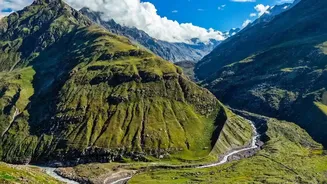
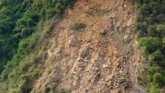
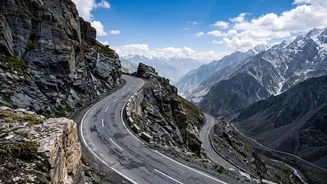
The period immediately following the monsoon is one of the most hazardous for Himalayan roads. Months of heavy rainfall saturate the soil, increasing the likelihood of landslides and rockfalls. Roads that were damaged during the rains need urgent repair,
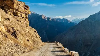
and popular routes like those in Himachal Pradesh and Uttarakhand often face closures. The 2026 monsoon, for example, saw hundreds of roads closed in Himachal Pradesh, including the vital Manali-Leh highway. Agencies face the dual challenge of repairing this damage and mitigating new threats as tourist traffic begins to surge. The transition from wet to cold weather can also bring early snowfall at high passes like Zojila, adding another layer of complexity for road-clearing teams.
The BRO's Proactive Role
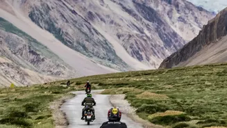
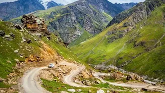
The Border Roads Organisation (BRO) is at the forefront of keeping strategic Himalayan routes open and safe. As soon as the monsoon recedes, their teams are deployed to clear debris, repair damaged sections, and restore connectivity. Their work is crucial on tourist and pilgrimage circuits like the Char Dham Yatra routes and the Manali-Leh highway. The BRO uses heavy machinery to clear landslides and is often the first responder when early snow blocks high passes. Beyond immediate repairs, the BRO is also focused on long-term solutions, such as constructing all-weather roads and tunnels. A key project is the new 298-km Nimmu-Padum-Darcha Road, which provides a vital alternative corridor to Ladakh, bypassing some of the more treacherous passes.
Technology as a Watchful Eye
Technology is becoming a critical tool in the fight against Himalayan road hazards. Agencies like the National Highways Authority of India (NHAI) and research institutions are deploying advanced systems to predict and prevent disasters. IIT Mandi, for instance, has developed a low-cost landslide and early warning system that uses sensors to detect soil movement, capable of sending alerts just minutes before a slide occurs. On a larger scale, MoRTH is using satellite-based technologies like InSAR to monitor ground movement along critical stretches, such as the Char Dham route, to identify unstable slopes before they fail. Drones are also used for high-resolution surveys to map terrain and plan safer road alignments, avoiding erosion hotspots from the start.
Building Resilient Infrastructure
While immediate repairs are essential, the long-term strategy involves building stronger, more resilient infrastructure. The NHAI and BRO are focusing on engineering interventions that can withstand the harsh Himalayan environment. This includes constructing retaining walls, improving drainage systems, and implementing slope stabilisation measures at vulnerable locations identified through detailed surveys. In some areas, innovative and eco-friendly 'bioengineering' techniques are being used, where specific types of vegetation are planted to bind the soil and prevent erosion on exposed slopes. The construction of tunnels is another game-changer, providing all-weather connectivity and bypassing avalanche-prone zones entirely, as seen with the Zoji-la and Atal Tunnels.
Advisories and Traveller Responsibility
Keeping travellers informed is a key part of the safety strategy. State governments and disaster management authorities issue regular advisories, especially during periods of heavy rain or snowfall. They urge travellers to check weather forecasts, avoid driving at night on hill roads, and postpone non-essential travel when alerts are issued. For pilgrimages like the Char Dham Yatra, the Uttarakhand government issues specific guidelines regarding health check-ups, route planning, and emergency preparedness. Ultimately, safety is a shared responsibility. While agencies work to secure the roads, travellers are advised to drive cautiously, carry essentials, stay updated on road conditions via official channels, and respect the unpredictability of the mountains.