






A Phenomenon of Epic Proportions
The Indian summer monsoon is one of the planet's most significant climate phenomena. It’s a giant, continent-sized sea breeze that brings more than 70% of the country's annual rainfall. This seasonal deluge is the lifeblood for agriculture, replenishing
reservoirs and groundwater. However, its sheer scale and variability have historically made it notoriously difficult to predict. The monsoon is not a single, uniform event but a complex interplay of winds, ocean temperatures, and atmospheric pressure systems that form over vast, data-sparse regions like the Arabian Sea and the Bay of Bengal. Predicting its onset, intensity, and distribution—the active and break spells—has been a monumental challenge for meteorologists.
ISRO's Watchful Eyes in the Sky
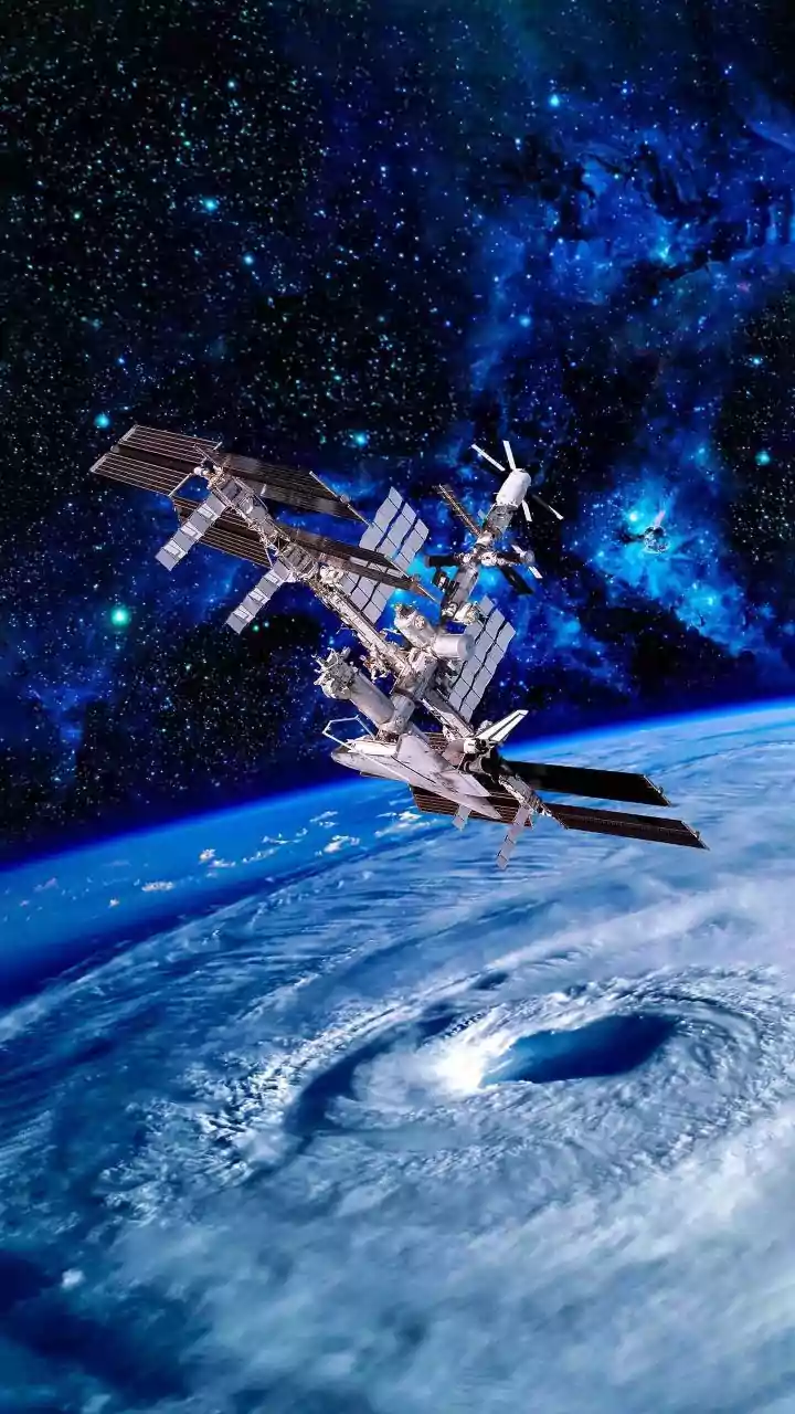
This is where the Indian Space Research Organisation (ISRO) has changed the game. A fleet of sophisticated geostationary satellites now provides a constant, bird's-eye view of the entire Indian subcontinent and the surrounding oceans. Key among these are the third-generation meteorological satellites INSAT-3D and INSAT-3DR. Launched in 2013 and 2016 respectively, these sentinels are positioned over 35,000 kilometres above the Earth, rotating in sync to remain fixed over the same spot. This allows them to provide uninterrupted imagery, capturing the full lifecycle of monsoon systems every 15 minutes. More recently, the INSAT-3DS satellite, launched in early 2024, has further enhanced these capabilities with more advanced sensors.
From Pixels to Predictions
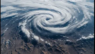
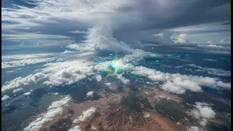
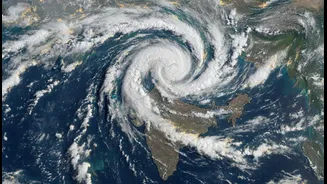
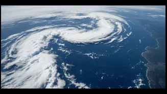
So, what do these satellites actually see? They are equipped with multi-spectral imagers and sounders that capture data across various wavelengths of light, much of which is invisible to the human eye. The visible light channels show us the clouds as we would see them from space. Infrared channels, however, measure temperature. The latest images from INSAT-3DR, for example, can show towering monsoon clouds over the sea, with extremely cold cloud tops appearing as bright white. This is a clear indicator of deep convection—a powerful updraft of warm, moist air that fuels intense thunderstorms and heavy rainfall. By tracking water vapour content, wind speeds over the ocean (using scatterometers on other satellites), and sea surface temperatures, forecasters can piece together a complete, three-dimensional picture of the atmosphere.
Powering India's Forecasts
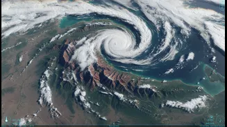
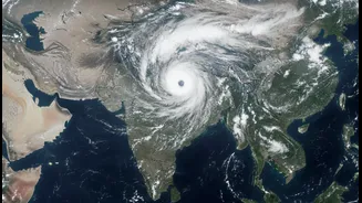
This torrent of data flows directly to the India Meteorological Department (IMD), where it becomes the backbone of modern weather forecasting. The ability to see cloud systems forming over the ocean long before they reach land is crucial for accurate onset predictions and short-term forecasts. According to the IMD, the assimilation of this satellite data into numerical weather prediction models has improved short-to-medium-range forecast accuracy by 20% to 30%. These images are instrumental in tracking the progress of the monsoon, monitoring offshore troughs, and providing early warnings for cyclones and other severe weather events that often accompany the season. Recent satellite imagery has clearly shown powerful twin monsoon systems drenching India's west and east coasts simultaneously, a level of detail previously unimaginable.
A Clearer Future
The view from space is only getting sharper. The IMD is already planning for the next generation of INSAT-4 series satellites, which will provide even higher resolution images and feature state-of-the-art sensors for forecasting specific hazards like lightning. The goal is to reduce our dependence on ground-based instruments in remote areas like the Himalayas and oceans, where satellites provide an indispensable vantage point. By combining continuous high-resolution satellite observation with the growing power of artificial intelligence and machine learning, forecasters hope to further demystify the monsoon’s intra-seasonal variability—the unpredictable rhythm of active and break spells that dictates the fate of crops and water resources across the nation.