

The Data Dilemma
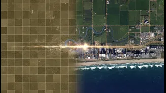
For nearly 50 years, satellites like the Landsat series have provided a continuous stream of images, creating an invaluable record of Earth's changing surface. This long-term data is crucial for tracking slow-moving trends like deforestation, urban sprawl,
and melting glaciers. However, older technology has its limits. These long-running missions might capture an image of a specific location only once every week or two. On the other hand, newer, more advanced satellites can offer much higher resolution or more frequent updates, but they lack the decades of history needed to put their observations in context. This creates a classic dilemma for scientists: do they choose the long, consistent-but-limited record, or the detailed-but-short modern snapshot?
Building a Data Time Machine
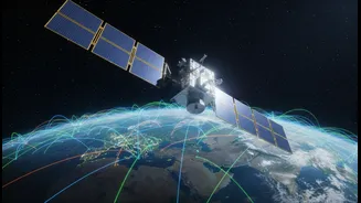
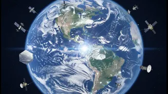
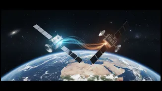
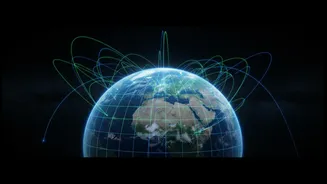
The solution is not to choose, but to combine. By fusing data from different missions—a practice known as cross-mission observation or data fusion—scientists can create a single, enhanced dataset that is greater than the sum of its parts. Think of it like creating a high-definition movie from a collection of old photographs and new video clips. The process involves sophisticated algorithms and artificial intelligence to align and calibrate information from different sensors, which may measure light, temperature, or surface height in completely different ways. For example, data from Europe’s Sentinel satellites can be merged with NASA's Landsat archives to increase the frequency of high-quality observations from once every 8-16 days to multiple times a week, providing a much clearer view of rapid changes on the ground.
A Case Study in Ocean Health
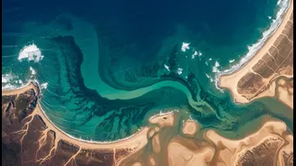
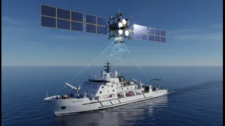
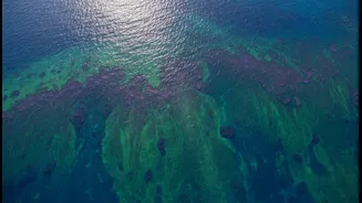
A prime example of this synergy is the work being done with NASA's PACE (Plankton, Aerosol, Cloud, ocean Ecosystem) satellite, launched in February 2024. PACE is designed to monitor the health of Earth’s oceans with unprecedented detail, using a hyperspectral instrument to identify different species of phytoplankton—the microscopic base of the marine food web. By itself, PACE provides a revolutionary new look at the ocean. But when its data is combined with that of other missions, like the SWOT (Surface Water and Ocean Topography) satellite, its power multiplies. SWOT measures the height of the ocean's surface, revealing the physics of ocean currents and eddies. Together, PACE shows the biology (where the plankton are), and SWOT shows the physics (why they are there), giving a complete picture of the ocean engine that drives our planet's climate and supports vital fisheries.
From Climate to Crops and Disasters
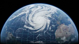
This collaborative approach extends far beyond the oceans. Fusing data helps scientists create continuous, decades-long climate records by stitching together information from successive missions that measure temperature and atmospheric gases. This allows them to detect subtle, long-term changes that might otherwise be missed. On land, combining historical archives with new, high-resolution imagery helps agricultural analysts better distinguish between newly cultivated land and cropland that has been left fallow for a few years, improving food security monitoring. It also enhances disaster response; by comparing real-time data from new fire-spotting satellites with historical landscape data, emergency services can create more accurate models to predict a fire's path and make better decisions about evacuations and resource deployment.