



The View from Above
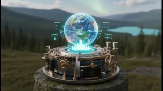
For decades, climate planning has heavily relied on a top-down approach. Sophisticated satellites and remote sensing technologies provide a wealth of data, mapping everything from sea-level rise and shoreline erosion to mangrove health and water temperature.
This information is crucial, offering a large-scale, evidence-based picture of environmental shifts that are often too vast or gradual to track from the ground. In India, agencies like the Indian National Centre for Ocean Information Services (INCOIS) use satellite data to issue advisories on potential fishing zones, helping fisherfolk improve their catch while saving fuel. These tools have become indispensable for creating coastal hazard maps and managing resources, forming the backbone of national climate strategies. However, this high-tech view, for all its strengths, can sometimes lack texture and local context. It can identify that a coastline is eroding but not necessarily the intricate, historical reasons why, or how small ecological changes are impacting the community that lives there.
A Library of Lived Experience
Living on the coastlines for generations, Indigenous communities possess a different but equally vital kind of data. This Traditional Ecological Knowledge (TEK) is a deep, place-based understanding of the environment, passed down through direct observation and experience. It is a living library of information on tidal patterns, fish spawning cycles, the behavior of native plants under stress, and the subtle signs of impending weather events. This knowledge isn't abstract; it's embedded in cultural practices, stories, and a community's very survival. For example, elders in a fishing village might know the specific locations where certain fish seek refuge during storms—details a satellite cannot capture. For a long time, this qualitative, community-held evidence was often overlooked in formal scientific models, seen as anecdotal rather than rigorous. But as the climate crisis accelerates, researchers and planners are realizing that ignoring this data is a missed opportunity.
Two Knowledge Systems, One Goal
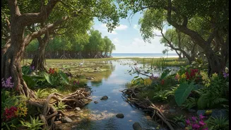
The most exciting new frontier in climate adaptation is where these two systems meet. By 'braiding' satellite data with Indigenous knowledge, a more complete, accurate, and effective picture emerges. For instance, a recent project in the Pacific Islands combines satellite observations of mangrove and seagrass ecosystems with field data collected by local communities. The satellite data provides scale, while the community data verifies the maps and adds crucial detail, leading to better conservation plans. Similarly, in Canada, Inuit knowledge about sea ice thickness and wildlife patterns has been integrated with remote sensing and AI models to identify new, sustainable fishing locations in a changing Arctic. This approach treats both Western science and Indigenous knowledge as equal and complementary, using one to validate and enrich the other. Satellite data might show a gradual decline in a coastal forest's greenness, and local elders can explain that this area has become prone to saltwater intrusion after a storm decades ago, guiding a targeted restoration effort.
Empowerment Through Evidence
This fusion of knowledge does more than just produce better maps; it fundamentally changes the dynamic of climate planning. It shifts from a top-down model to a collaborative one, empowering local communities as active partners and leaders in their own resilience. When communities see their lived experiences and observations validated and integrated into official plans, it builds trust and fosters ownership over adaptation projects. In coastal Louisiana, the Pointe-au-Chien Indian Tribe collaborated with researchers to create GIS maps that combined scientific climate projections with the tribe’s own multi-generational knowledge of land loss and storm impacts. This collaboration helped the tribe better communicate its priorities and lead its own adaptation strategies. In India, organisations like the M S Swaminathan Research Foundation have long demonstrated the power of community-centric approaches, using tools like GIS alongside local participation to restore thousands of hectares of mangrove forests. This ensures that solutions are not just scientifically sound but also culturally appropriate and socially just.