


From Static Plans to Dynamic Decisions
Monsoon travel in India is no longer about simply booking a ticket and hoping for the best. The increasing frequency of extreme weather events means that a rigid itinerary is a recipe for disaster. The new rule for safe travel is dynamic decision-making.
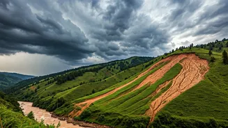
This means shifting from a mindset of “what was the forecast yesterday?” to “what is the live alert right now?”. It involves actively using technology and official information to make choices not just before you leave, but every single day of your trip. Recent incidents during the 2026 monsoon, with heavy rains triggering landslides and road closures in states like Himachal Pradesh and Uttarakhand, underscore this necessity. Authorities are now frequently issuing advisories, and travellers who ignore them do so at their peril.
Your Pre-Trip Intelligence Briefing
Before you even pack your bags, your monsoon travel planning should begin with a thorough intelligence check. This goes beyond a generic weather forecast. Start with the India Meteorological Department (IMD), the official source for weather warnings. Their website and 'Mausam' app issue colour-coded alerts (red, orange, yellow) for districts, indicating the severity of expected rainfall and potential impact. Next, visit the National Disaster Management Authority (NDMA) website. They provide comprehensive monsoon preparedness guidelines and often coordinate with state-level agencies. Finally, check regional news outlets for your destination. They provide on-the-ground context that national forecasts might miss, such as localised waterlogging or specific road blockages. Choosing a destination less prone to severe monsoon impacts is also a wise first step.
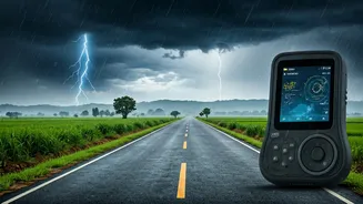
Essential Apps for Your Smartphone
Your smartphone is your most critical tool for navigating the monsoon safely. Ensure you have the right apps downloaded and notifications enabled. 1. Weather Alerts: The official 'Mausam' app from IMD is essential for localised forecasts and warnings. Other reliable global apps like AccuWeather and Windy are also highly effective, offering detailed rain radar and wind maps. 2. Lightning Warnings: The 'Damini' app, also from the government, provides specific alerts for lightning strikes in your vicinity, a crucial safety feature during thunderstorms. 3. Traffic and Navigation: Google Maps and MapmyIndia provide real-time traffic updates, which can be invaluable for road trips. They often show road closures due to landslides or flooding, helping you reroute or decide against travelling on a particular stretch. 4. Emergency Services: Have the national emergency number (112) and the numbers for local district disaster management offices saved on your phone.
Making Decisions on the Move
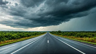
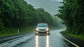
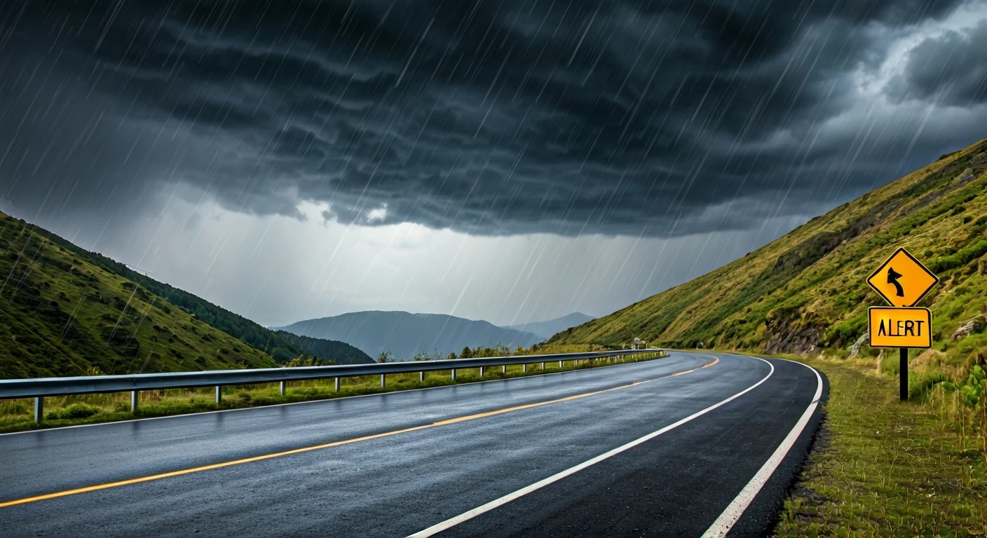
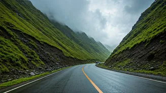
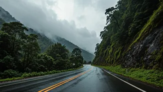
Receiving an alert is one thing; acting on it is another. During your trip, check your apps every morning before setting out and again before starting a long leg of a journey. If an orange or red alert is issued for your area, it is a signal to seriously reconsider your plans. This might mean staying put for a day, cancelling a trek to a high-altitude area, or choosing an indoor activity. Heavy rain dramatically increases the risk of landslides in hilly regions and flash floods in low-lying areas. As seen in recent events in Himachal, even major highways can be shut down with little notice. Never attempt to cross a flooded road or a fast-flowing stream, no matter how shallow it appears. If you are driving, slow down, use your headlights, and maintain a safe distance from other vehicles.
The Human Element: Beyond the Screen
Technology is a powerful aid, but it shouldn't replace common sense and local knowledge. While apps provide data, local people provide wisdom. Always talk to your hotel staff, local drivers, and shopkeepers. They have an intuitive understanding of the local weather patterns and risks. They will know which roads are prone to landslides, which streams are likely to swell, and which areas become inaccessible first. This on-ground intelligence is the perfect complement to your digital alerts. For instance, while an app might show a road as open, a local driver might know it's a treacherous route in the rain. Combining official alerts with local advice gives you the most complete picture, enabling you to make the safest and most responsible decisions.