
What is NISAR and Why is it Special?
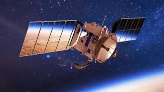
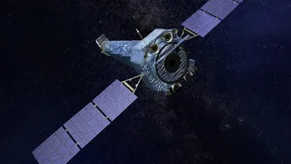
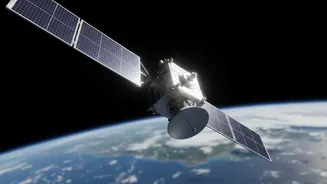
Launched in July 2025, NISAR is a joint Earth-observation satellite from NASA and the Indian Space Research Organisation (ISRO). What makes it revolutionary is its use of dual-frequency Synthetic Aperture Radar (SAR), using both L-band and S-band wavelengths.
Unlike traditional optical satellites that are blinded by clouds or darkness, radar can see through these obstructions, providing reliable imagery day or night, in any weather. The satellite maps nearly the entire globe every 12 days, allowing scientists to detect tiny changes in the Earth’s surface—down to a centimetre. This consistent, precise monitoring is crucial for understanding dynamic processes related to climate change, natural disasters, and ecosystem health. All data from the mission is being made freely and openly available to the public.
A Goldmine of Data for Climate Insights
The data flowing from NISAR isn't just a collection of images; it’s a detailed record of Earth's vital signs. For climate science, its applications are immense. Researchers can now monitor the melting of Himalayan glaciers with incredible precision, track the rate of deforestation and measure forest biomass, which is key to understanding the carbon cycle. The satellite's ability to measure soil moisture and changes in wetlands offers new tools for managing water resources and predicting agricultural yields in a changing climate. For example, by comparing images over time, scientists can create interferograms that reveal ground subsidence due to groundwater extraction, a critical issue in many parts of India. This level of detail helps move from broad climate models to specific, actionable insights on a local scale.
How to Access and Use the Data
Getting your hands on this data is surprisingly straightforward. The mission's L-band data, provided by NASA, is available through portals like the Alaska Satellite Facility (ASF) DAAC and NASA's Earthdata Search. The S-band data, from ISRO's instrument, is accessible via ISRO's own Bhoonidhi portal. Users can search for data by location, date, and product type, and then download it for analysis. To work with the data, a growing ecosystem of tools is available. The European Space Agency's SNAP software is a popular open-source option, while programmatic access is possible using Python packages like `asf_search` for automated workflows. This open-access policy democratises satellite data, putting world-class tools in the hands of anyone with a good idea.
Training and Opportunities for Indian Innovators
Recognising that raw data can be intimidating, both NASA and ISRO are actively promoting training and capacity building. NASA's Applied Remote Sensing Training Program (ARSET) offers online workshops and tutorials on how to interpret and use SAR data for applications like flood detection and landslide risk assessment. In India, ISRO has launched the NISAR Utilization Programme (NISAR-UP) to encourage and fund projects from Indian researchers and institutions that leverage this new data source for national challenges. These initiatives are designed to create a skilled user base ready to translate data into solutions. For startups in the agri-tech, insurance, and infrastructure sectors, NISAR data provides a foundation for developing new services, from advanced crop insurance models to infrastructure stability monitoring and disaster risk assessment.