






A Constant Struggle Against Nature
India is one of the world's most disaster-prone countries. Its diverse geography makes it vulnerable to a wide array of natural hazards, including floods, cyclones, droughts, earthquakes, and landslides. Events like the devastating floods in Assam and Kerala,
or landslides in the Himalayas, have repeatedly highlighted the challenge of getting clear, real-time data for effective response and mitigation. Traditional disaster management has often been reactive, hampered by issues like inadequate early warning systems and difficulties in assessing damage accurately, especially when clouds and rain obscure the view from conventional satellites. This data gap can delay rescue efforts and the delivery of aid, costing both lives and property.
The Game-Changer: NISAR
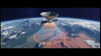
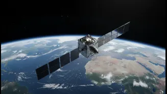
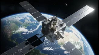
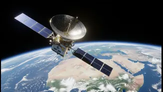
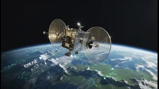
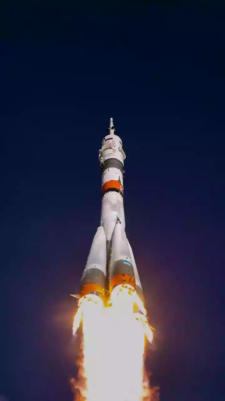
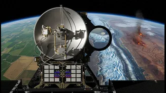
Enter NISAR—the NASA-ISRO Synthetic Aperture Radar mission. This ambitious project is a collaboration between the Indian Space Research Organisation (ISRO) and the U.S. National Aeronautics and Space Administration (NASA). Launched in July 2025, the satellite is equipped with advanced dual-frequency radar instruments designed to observe our planet in unprecedented detail. Unlike optical satellites that need daylight and clear skies, NISAR uses radar to create high-resolution images of Earth's surface, day or night, and in all weather conditions. This 'all-weather' capability is precisely what makes it a revolutionary tool for disaster management.
How Radar Sees Through Clouds and Darkness
The technology at the heart of NISAR is Synthetic Aperture Radar (SAR). SAR works by sending microwave pulses from the satellite to the ground and analyzing the signals that bounce back. Different surfaces reflect these signals differently. A calm water surface, for instance, reflects the signal away, making it appear dark in a SAR image, while rougher land surfaces scatter the signal back, appearing brighter. This contrast allows analysts to instantly identify flooded areas, even under a thick blanket of storm clouds. The NISAR mission is unique because it uses two different radar frequencies, L-band and S-band. The longer wavelength L-band can penetrate through forest canopies to detect flooding or ground movement hidden by vegetation, a significant advantage in regions like the Western Ghats or the Sundarbans.
From Data to Action on the Ground
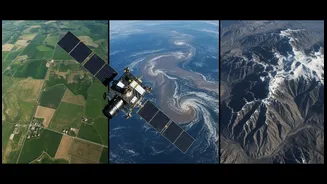
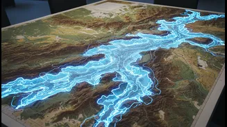
The potential applications for India are immense. For floods, NISAR can provide precise maps of inundated areas, helping authorities direct rescue teams and resources more effectively. In the case of landslides, the radar can detect tiny, centimetre-level changes in the ground surface over time, offering crucial warning signs of slope instability in vulnerable mountain regions. Following an earthquake, the same technology can assess ground deformation and damage to infrastructure, guiding emergency response. The satellite will orbit the Earth every 12 days, providing a regularly updated, dynamic picture of our planet's surface changes. For disasters, data can be expedited to support urgent response efforts.
A Partnership to Protect the Planet
NISAR is a testament to the growing space collaboration between India and the United States. While ISRO provided the satellite bus, the S-band radar, and the launch vehicle, NASA contributed the L-band radar system. The mission is expected to generate a massive amount of data—freely and openly available—to scientists, policymakers, and disaster management agencies worldwide. While its applications are global, ISRO has identified key areas of focus relevant to India, including monitoring Himalayan glaciers, agricultural biomass, and coastal processes. This data will not only enhance immediate disaster response but also contribute to long-term climate change resilience and sustainable development planning.