




The Constant Threat of Water
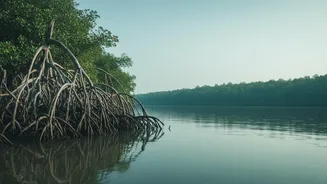
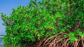
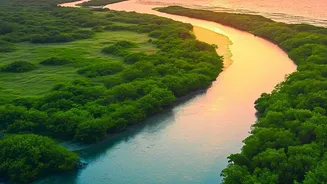
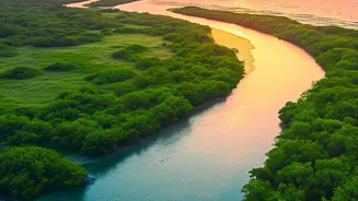
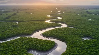
The Sundarbans, a UNESCO World Heritage site sprawling across India and Bangladesh, is a labyrinth of rivers, creeks, and islands. This unique deltaic ecosystem is defined by water, but that same element poses its greatest threat. For hours each day,
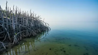
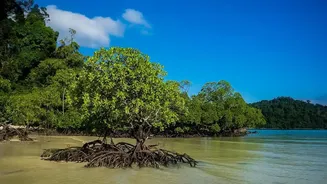
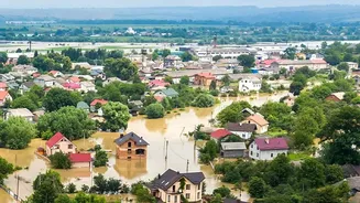
large parts of the forest vanish under water during high tide. This constant tidal action, combined with rising sea levels and increasingly frequent storm surges, leads to severe coastal erosion. Over time, the very ground the mangroves stand on is washed away, threatening the entire ecosystem and the millions of people who depend on its protection from cyclones. Since 1985, studies show the Sundarbans has lost a significant area of forest to shoreline erosion alone.
Introducing Digital Sentinels
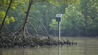
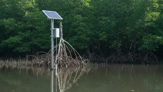
Traditional methods of monitoring this vast and complex environment are often slow, expensive, and logistically challenging. This is where modern technology steps in. Researchers and conservation bodies are now deploying a sophisticated system of IoT (Internet of Things) sensors throughout the tidal waterways. These devices act as digital sentinels, placed at strategic locations to keep a constant watch on the region's complex hydrodynamics. This move towards in-situ, real-time data collection marks a significant shift from relying solely on satellite imagery or periodic manual surveys, which often cannot capture the full, dynamic picture of tidal behaviour.
From Data Points to a Defence Plan
So, how does it work? These sensor networks are designed to capture a stream of critical environmental data. Key parameters include water level, flow velocity, salinity, and temperature. Some advanced systems, like the Sundarbans Digital Surveillance System (SDSS) developed in collaboration with ISRO, integrate this sensor data with satellite remote sensing and drone technology. The sensors transmit this information wirelessly to a central server, often in real-time or at frequent intervals. Using artificial intelligence and machine learning algorithms, scientists can then process this massive influx of data to detect patterns, predict changes, and create highly detailed models of the tidal system.
Mapping the Tides in Real Time
The ultimate output is far more than just a collection of numbers. It’s a dynamic, real-time map of the tides. This allows authorities to understand exactly how water moves through the hundreds of channels in the delta. They can see how high the water will rise during a spring tide, how fast it will flow through a particular creek, and which areas are most vulnerable to the highest tidal energy. This predictive capability is a game-changer. Instead of reacting to erosion after it happens, conservationists can anticipate it, understanding the complex interplay between semi-diurnal tides and other factors that shape the landscape.
Strengthening the Green Barrier
This detailed tidal data directly informs conservation strategy. By identifying high-erosion zones, authorities can prioritise where to build or reinforce protective embankments. More importantly, it guides mangrove restoration and afforestation efforts. For example, using drones for 'seed-bombing' becomes much more effective when you know which newly formed silt deposits (accretion zones) are stable enough for saplings to take root. The data also helps in designing sustainable livelihoods for local communities, such as aquaculture projects that work with the natural water flow rather than against it, reducing the pressure on the core forest area.
A Blueprint for a Resilient Future
The use of sensor networks in the Sundarbans is a powerful example of how technology can be harnessed for environmental good. While these systems are still being refined and scaled, they represent a vital tool in the fight against climate change's impacts. This data-driven approach not only helps protect the mangroves but also safeguards the lives and livelihoods of the dense human population living in this fragile region. As the technology matures, it could provide a blueprint for protecting other vulnerable coastal ecosystems around the world, proving that with the right information, we can build a more resilient future for our most precious natural treasures.