


A New Eye on a Changing Planet
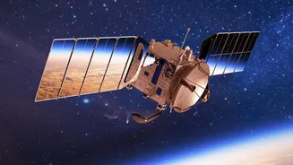
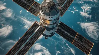
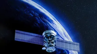
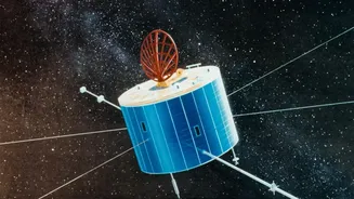
The NISAR satellite, a landmark collaboration between NASA and the Indian Space Research Organisation (ISRO), is one of the most advanced Earth-observation satellites ever built. Launched in July 2025, it uses a sophisticated technology called Synthetic
Aperture Radar (SAR). Think of it as a camera that can see through clouds, day and night, providing an uninterrupted view of the Earth's surface. By using two different radar frequencies (L-band and S-band), NISAR can detect tiny changes on the planet's surface—movements as small as a centimetre. This allows scientists to observe some of the planet's most complex processes, from the subtle shifting of tectonic plates to the alarming retreat of Himalayan glaciers.
A Firehose of Information, Free for All
What truly makes NISAR a game-changer is not just the quality of its data, but its accessibility. The mission will map nearly all of Earth's land and ice four to six times a month, creating an incredibly detailed time-lapse of our world. All of this data—an enormous volume of information—is being made freely and openly available to the public. ISRO began releasing S-band data in July 2026 through its Bhoonidhi portal, while NASA is distributing L-band data via its Alaska Satellite Facility. This is like upgrading from a single, blurry photograph to a constantly updated, high-definition 3D movie of the entire planet. This unprecedented access is designed to spur innovation and research globally, empowering scientists, governments, and even individuals to monitor our changing world.
From Raw Data to Real-World Insight
However, having access to this data is only the first step. The raw information beamed down from NISAR is not a simple picture; it's complex radar data that requires specialised skills to process and interpret. These are not intuitive maps but vast datasets of numbers and signals. To turn this raw data into actionable insights—like a precise flood risk map or a crop yield forecast—requires expertise in data science, remote sensing, and specific domain knowledge in fields like agriculture, geology, or hydrology. Without trained analysts, the terabytes of valuable information from NISAR risk becoming just noise, a missed opportunity to address some of India's most pressing environmental challenges.
What Can India Do With This Data?
For India, NISAR's data holds immense potential. ISRO has identified several key applications of particular relevance to the country. These include monitoring the health of Himalayan glaciers, which are a vital source of water for millions; tracking agricultural biomass to ensure food security; and more accurately assessing and responding to natural disasters like floods, landslides, and earthquakes. Imagine being able to predict landslide risks in the Western Ghats with greater accuracy, monitor groundwater depletion in Punjab and Haryana, or help city planners in Mumbai and Bengaluru manage urban sprawl and its impact on water resources. The satellite's ability to measure subtle changes in the ground can even help monitor infrastructure like bridges and dams for signs of stress, enhancing public safety.
Bridging the Climate Data Skill Gap
The release of NISAR's data makes one thing clear: India needs to rapidly build a workforce capable of leveraging this powerful new tool. This goes beyond traditional academic programs. It means creating upskilling opportunities for professionals already working in government agencies, disaster management authorities, and corporate sustainability offices. Institutes are beginning to respond, with new courses emerging in climate science and data analytics from places like BITS Pilani and the Kerala University of Fisheries and Ocean Studies (Kufos). The goal is to create an entire ecosystem of data-savvy professionals who can develop applications, build predictive models, and provide the critical intelligence needed for India to adapt to a changing climate.