





From Broad Forecasts to Granular Intelligence
For years, weather warnings were broad, covering large sub-divisions with general advisories. A 'heavy rainfall' alert for an entire region offered little specific guidance. Now, the IMD is rolling out Impact-Based Forecasting (IBF) and route-specific
predictions that drill down to the district, city, and even neighbourhood level. Instead of just saying 'heavy rain is expected,' the new system predicts the specific consequences: 'waterlogging on major arterial roads,' 'disruption to rail services,' or 'landslide risk in ghat sections.' This shift to hyper-local, impact-focused data is a game-changer, moving from merely describing the weather to prescribing actionable responses.
Smarter, Safer Roads and Highways
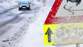
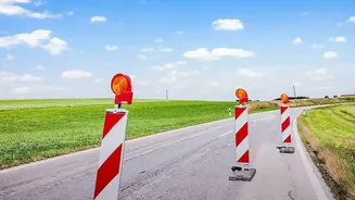
For municipal corporations and highway authorities, this detailed forecasting means they can finally get ahead of the chaos. Armed with specific warnings about which areas are likely to flood, officials can pre-emptively close vulnerable underpasses and low-lying roads, diverting traffic before it gets trapped. It enables the strategic deployment of resources like water pumps and emergency crews to known choke points hours in advance. The National Highway Authority of India can use route-specific alerts for major corridors to warn truckers and travellers about developing hazards like flash floods or landslides, suggesting alternative routes and preventing long, dangerous standstills. This data-driven approach transforms traffic management from a frantic response into a planned, orderly operation.
Keeping the Railways on Track
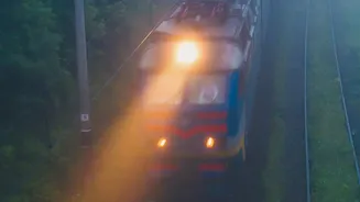
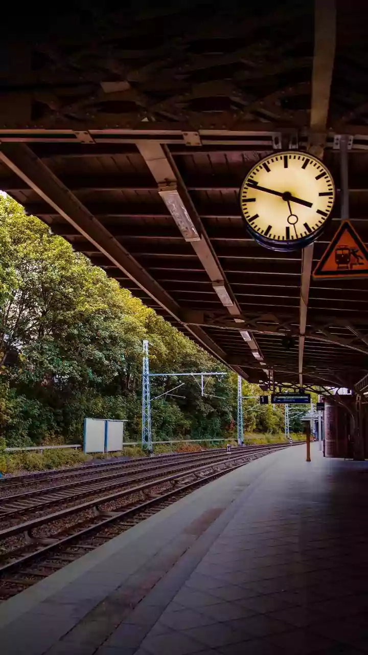
Indian Railways, which faces immense challenges during the monsoon, is a major beneficiary of this new precision. In collaboration with the IMD, railway zones are installing automatic weather stations (AWS) at vulnerable locations, especially in hilly and flood-prone areas like the Northeast Frontier Railway. These stations provide real-time, location-specific data on rainfall intensity, wind speed, and other critical parameters. This allows railway controllers to make proactive safety decisions, such as imposing speed restrictions on tracks threatened by heavy rain, increasing patrols along sensitive sections to check for washouts, or even rescheduling or diverting trains before they enter a high-risk zone. The goal is to prevent incidents like derailments caused by track subsidence and avoid situations where thousands of passengers are left stranded for hours.
The Technology Behind the Change
This leap in forecasting is powered by a combination of advanced technology and data integration. The IMD is leveraging its expanding network of Doppler radars, automatic weather stations, and satellite imagery. Artificial intelligence (AI) and machine learning models are used to process this vast amount of data, generating high-resolution forecasts that can pinpoint weather events with far greater accuracy. This information is then disseminated through a Web-GIS based decision support system, allowing different agencies—from the local traffic police to a railway zone controller—to access tailored alerts and visualise the expected impact on their specific area of operations.
The Challenges of Last-Mile Action
While a better forecast is a powerful tool, its effectiveness depends on seamless coordination and on-ground action. The biggest challenge is ensuring that this hyper-local information flows efficiently from the IMD to the last person responsible for implementation, whether it's a traffic constable on the street or a railway gangman inspecting the tracks. Inter-agency communication must be robust to ensure that warnings are not just received but acted upon swiftly. Furthermore, the warnings can only do so much if the physical infrastructure is not prepared. A forecast for a flooded underpass is useful, but it also highlights the need for better long-term drainage solutions. The new system is a critical step, but it must be paired with continued investment in resilient infrastructure and streamlined response protocols.