
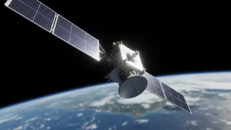

An X-Ray for the Planet
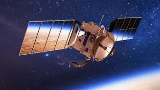
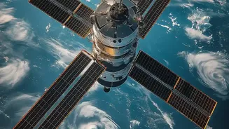
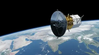
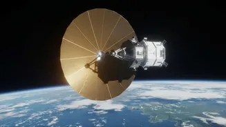
Imagine trying to take a picture during a monsoon or through a dense fog; you wouldn't see much. For decades, this was the problem facing Earth-observation satellites that rely on optical cameras. NISAR (NASA-ISRO Synthetic Aperture Radar) fundamentally
changes the game. Instead of light, it uses radar pulses that can penetrate clouds, smoke, and darkness, creating incredibly detailed images of the ground below, day or night. It’s the first satellite mission to use two different radar frequencies together: NASA's L-band, which can see through forest canopies to the ground, and ISRO's S-band, which is excellent for monitoring agriculture and vegetation. By sending out microwave signals and reading what bounces back, NISAR creates a picture of the planet’s surface that is always on and always clear.
From Snapshots to a Motion Picture
Previous satellite missions could observe a specific location every few weeks or months. NISAR, however, will scan nearly the entire globe every 12 days. This unprecedented frequency transforms our understanding of Earth from a series of static snapshots into a continuous movie. Scientists can now track subtle, slow-moving changes with astonishing precision—down to a centimeter. This constant stream of data is crucial for understanding processes that were previously too slow or too obscured to monitor effectively. It means we can watch the ground swell before a volcanic eruption, see the subtle shifts in tectonic plates, and monitor the breathing of forests as they grow and shrink with the seasons.
Forecasting and Responding to Disasters
One of NISAR's most critical applications is in natural hazard assessment. Its ability to detect tiny movements in the Earth's crust will provide new insights into the stresses building up along fault lines, potentially improving our understanding of earthquake risks. In the aftermath of a quake or volcanic eruption, NISAR's data can be processed rapidly to create damage maps, showing emergency responders exactly where infrastructure has been affected, even in remote or cloud-covered areas. For a country like India, which faces significant flood risks during monsoon season, NISAR's ability to map the extent of flooding beneath the cloud cover offers a powerful new tool for disaster management and relief efforts.
A New Baseline for Climate Science
NISAR's data will provide a critical new baseline for understanding climate change. For India, monitoring the health and melt rate of Himalayan glaciers is of paramount importance. NISAR will measure the flow and retreat of these ice sheets with unparalleled accuracy, helping to forecast future water availability for millions. Furthermore, its L-band radar can penetrate forest canopies to measure the amount of vegetation, a key component of the global carbon cycle. This allows scientists to more accurately track deforestation and understand how much carbon our forests are storing, providing essential data for climate models and conservation efforts.
Revolutionizing Agriculture and Water
The health of a nation's agriculture depends heavily on soil moisture and water resources. NISAR's radar is uniquely suited to measure soil moisture across vast farmlands, even under a canopy of crops. This will give agricultural scientists and policymakers in India a powerful tool to assess crop health, predict yields, and manage irrigation more effectively. It can track changes in groundwater supplies by measuring tiny changes in ground level as aquifers are depleted or recharged. This comprehensive view of the water cycle, from Himalayan snowpack to agricultural soil, will be invaluable for ensuring future food and water security.